
| Memorials | : | 0 |
| Location | : | Brazil, Clay County, USA |
| Coordinate | : | 39.4163530, -87.1549810 |
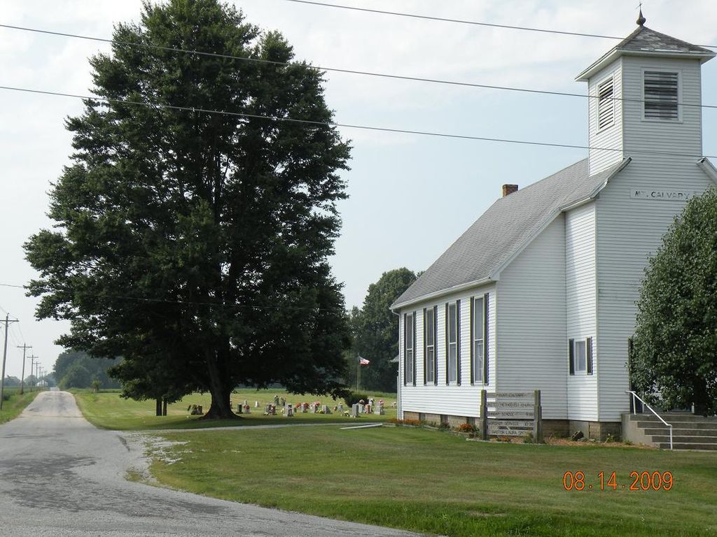
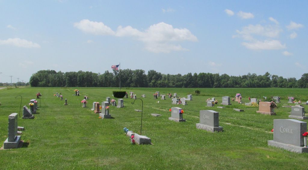
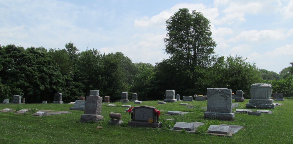
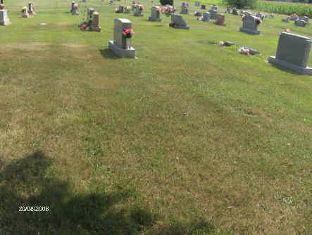
| Description | : | The cemetery is located in Perry Township (NE quadrant of the NE quadrant of the SW quadrant of Section 12 Township 11N Range 7W) on the north side of W Lower Bloomington Road at its intersection with N County Road 150 W. Indiana Cemetery Locations, Volume 4, published by the Indiana Genealogical Society (April 2009), gives the primary cemetery name as Mount Calvary Cemetery with alternate names of Harr Cemetery and Van Cleve Cemetery. The cemetery is listed in the Cemetery and Burial Grounds Registry of the Indiana Department of Natural Resources (DNR) and in the State Historical... Read More |
frequently asked questions (FAQ):
-
Where is Mount Calvary Cemetery?
Mount Calvary Cemetery is located at W County Road 200 N Brazil, Clay County ,Indiana , 47834USA.
-
Mount Calvary Cemetery cemetery's updated grave count on graveviews.com?
0 memorials
-
Where are the coordinates of the Mount Calvary Cemetery?
Latitude: 39.4163530
Longitude: -87.1549810
Nearby Cemetories:
1. Deeter Cemetery
Ashboro, Clay County, USA
Coordinate: 39.4074340, -87.1364310
2. Conway Cemetery
Cory, Clay County, USA
Coordinate: 39.4060860, -87.1863403
3. Barber Cemetery
Saline City, Clay County, USA
Coordinate: 39.3833000, -87.1586000
4. Ashboro-Moss Cemetery
Ashboro, Clay County, USA
Coordinate: 39.3978700, -87.1095700
5. Rardin South Cemetery
Cory, Clay County, USA
Coordinate: 39.4168080, -87.2102430
6. Rhule Cemetery
Brazil, Clay County, USA
Coordinate: 39.4441986, -87.1971970
7. Zenor Cemetery North
Prairie City, Clay County, USA
Coordinate: 39.4454346, -87.1073227
8. German Cemetery
Clay County, USA
Coordinate: 39.4681015, -87.1547012
9. Saint John's Evangelical Lutheran Cemetery
Center Point, Clay County, USA
Coordinate: 39.4683609, -87.1544952
10. Grimes Cemetery
Clay County, USA
Coordinate: 39.3860779, -87.0912018
11. Center Point Cemetery
Center Point, Clay County, USA
Coordinate: 39.4178848, -87.0738297
12. Tucker Family Cemetery
Cory, Clay County, USA
Coordinate: 39.3850900, -87.2280800
13. Vest Cemetery
Staunton, Clay County, USA
Coordinate: 39.4795685, -87.1728516
14. Hixon Cemetery
Cory, Clay County, USA
Coordinate: 39.3757930, -87.2207160
15. Staunton German Lutheran Cemetery
Staunton, Clay County, USA
Coordinate: 39.4806510, -87.1839270
16. Staggs Cemetery
Cory, Clay County, USA
Coordinate: 39.3602982, -87.2118988
17. McCullough Zion Gummere Cemetery
Cory, Clay County, USA
Coordinate: 39.3457985, -87.1753006
18. Mewhinney Cemetery
Riley, Vigo County, USA
Coordinate: 39.4267006, -87.2481003
19. Wools Cemetery
Staunton, Clay County, USA
Coordinate: 39.4895690, -87.1446970
20. Union Cemetery
Hoosierville, Clay County, USA
Coordinate: 39.4746390, -87.0958110
21. Kaelber Cemetery
Clay County, USA
Coordinate: 39.4455986, -87.0667038
22. Arthur Helton Farm Cemetery
Jackson Township, Clay County, USA
Coordinate: 39.4712140, -87.0873260
23. Reffet Cemetery
Brazil, Clay County, USA
Coordinate: 39.4891960, -87.1260020
24. Turner Scofield Cemetery
Seelyville, Vigo County, USA
Coordinate: 39.4403954, -87.2492294