
| Memorials | : | 21 |
| Location | : | Denmead, City of Winchester, England |
| Coordinate | : | 50.9057570, -1.0662400 |
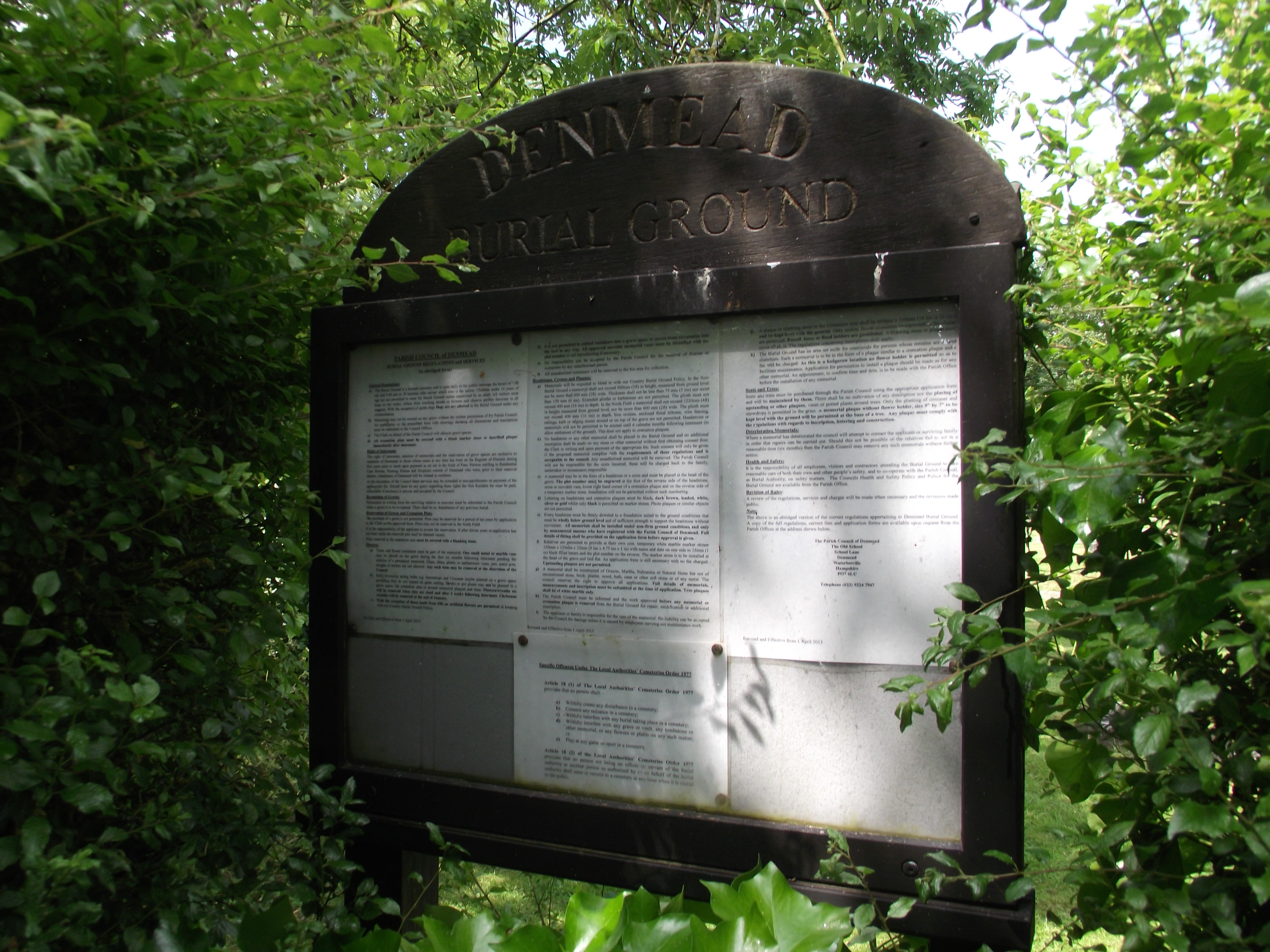
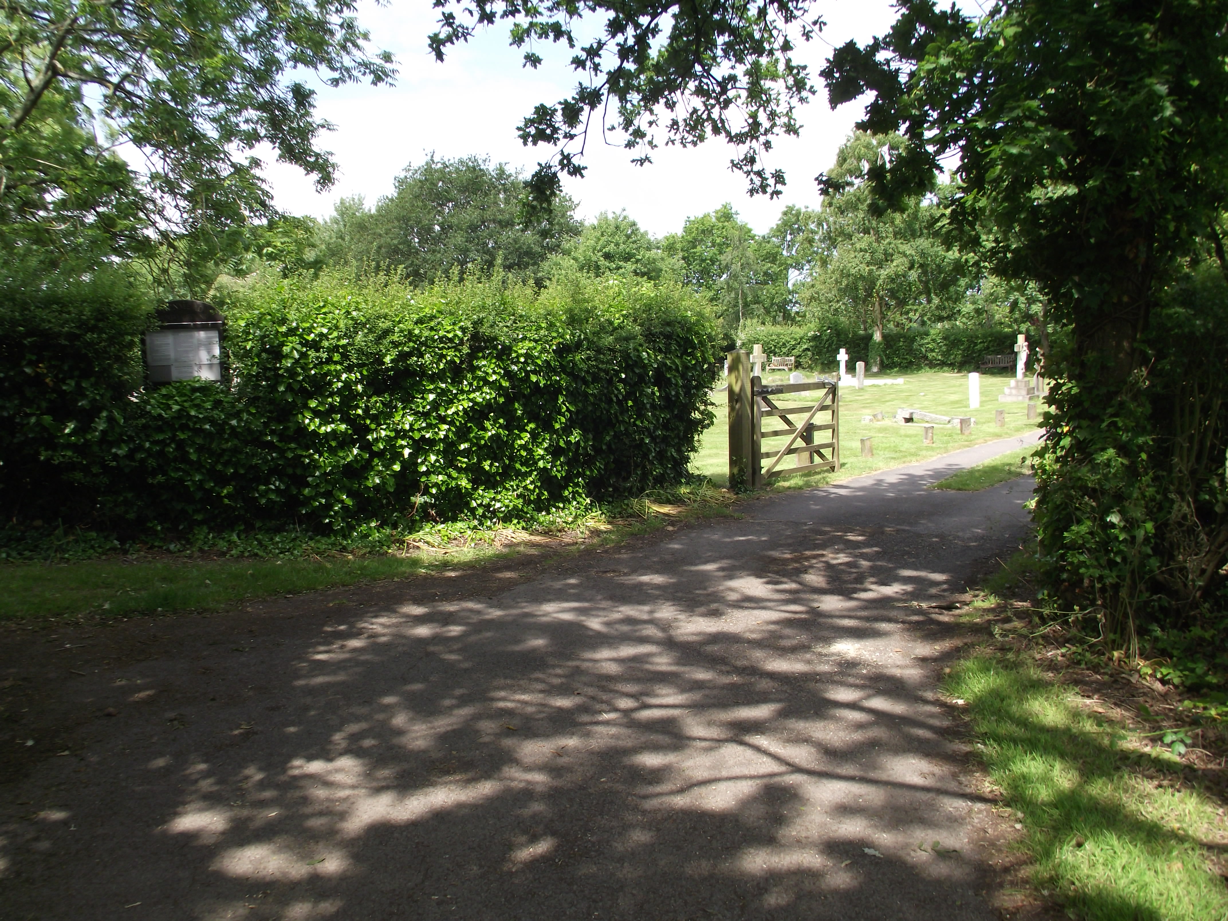
| Description | : | The cemetery is divided into three distinct sections: the Old Burial Ground with nearly 800 burials and cremations; the New Burial Ground with about 300 burials; and the North Field which opened in 2005. All Saints Church was built in 1880 but had no graveyard and all burials were carried out at Hambledon. In 1919, however, Denmead Burial Ground was purchased and consecrated as a burial ground. The cemetery is now operated by the Denmead Parish Council. |
frequently asked questions (FAQ):
-
Where is Denmead Burial Ground?
Denmead Burial Ground is located at Denmead, City of Winchester ,Hampshire ,England.
-
Denmead Burial Ground cemetery's updated grave count on graveviews.com?
21 memorials
-
Where are the coordinates of the Denmead Burial Ground?
Latitude: 50.9057570
Longitude: -1.0662400
Nearby Cemetories:
1. St Peter and St Paul Churchyard
Hambledon, City of Winchester, England
Coordinate: 50.9326480, -1.0810220
2. St. George the Martyr Churchyard
Waterlooville, Havant Borough, England
Coordinate: 50.8804060, -1.0328690
3. Waterlooville Cemetery
Waterlooville, Havant Borough, England
Coordinate: 50.8802800, -1.0246400
4. Catherington Cemetery
Catherington, East Hampshire District, England
Coordinate: 50.9254800, -1.0121200
5. St John the Baptist Churchyard
Purbrook, Havant Borough, England
Coordinate: 50.8678210, -1.0447060
6. All Saints Churchyard
Catherington, East Hampshire District, England
Coordinate: 50.9259170, -1.0103890
7. Holy Trinity Churchyard
Newtown, City of Winchester, England
Coordinate: 50.9100400, -1.1322400
8. St. James' Churchyard
Southwick, City of Winchester, England
Coordinate: 50.8739800, -1.1113800
9. St Mary Magdalene Churchyard
Widley, City of Winchester, England
Coordinate: 50.8623650, -1.0642640
10. Holy Trinity Churchyard
Blendworth, East Hampshire District, England
Coordinate: 50.9170620, -0.9895780
11. Christ Church Portsdown Churchyard
Widley, City of Winchester, England
Coordinate: 50.8547300, -1.0507540
12. St James Churchyard
Clanfield, East Hampshire District, England
Coordinate: 50.9466520, -1.0087900
13. St Peter Churchyard
Soberton, City of Winchester, England
Coordinate: 50.9474160, -1.1336370
14. St. Nicholas' Churchyard
Boarhunt, City of Winchester, England
Coordinate: 50.8709800, -1.1442000
15. St Peter and St Paul Churchyard
Wymering, Portsmouth Unitary Authority, England
Coordinate: 50.8457490, -1.0777170
16. St. Andrew's Churchyard
Farlington, Portsmouth Unitary Authority, England
Coordinate: 50.8477200, -1.0274510
17. South Downs Natural Burial Site
East Meon, East Hampshire District, England
Coordinate: 50.9672700, -1.0377840
18. St John the Baptist Churchyard
Rowlands Castle, East Hampshire District, England
Coordinate: 50.8848500, -0.9695200
19. St. Thomas Churchyard
Bedhampton, Havant Borough, England
Coordinate: 50.8529400, -1.0032960
20. St Mary and All Saints Churchyard
Droxford, City of Winchester, England
Coordinate: 50.9602370, -1.1362940
21. Portchester Crematorium Gardens
Portchester, Fareham Borough, England
Coordinate: 50.8499680, -1.1382190
22. St Nicholas Churchyard
Wickham, City of Winchester, England
Coordinate: 50.8994865, -1.1827040
23. St Michael and All Angels Churchyard
Chalton, East Hampshire District, England
Coordinate: 50.9388750, -0.9602010
24. St. Mary's Churchyard
Portchester, Fareham Borough, England
Coordinate: 50.8366280, -1.1134270