
| Memorials | : | 0 |
| Location | : | Catherington, East Hampshire District, England |
| Coordinate | : | 50.9254800, -1.0121200 |
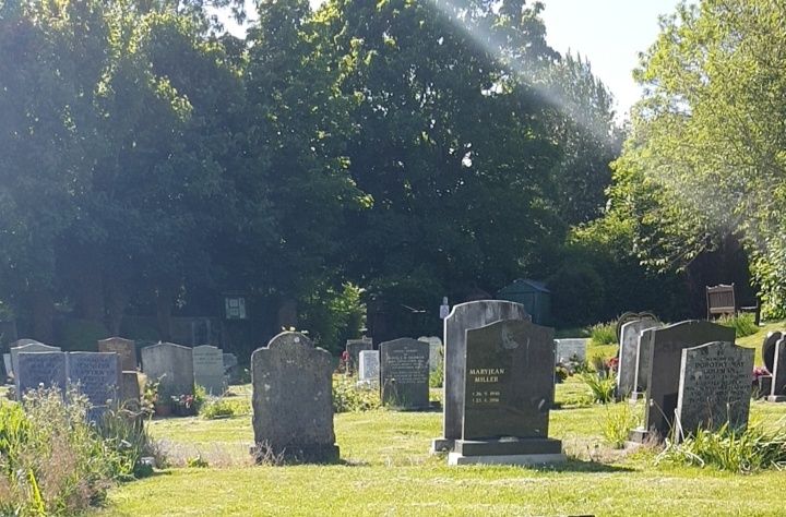
| Description | : | Opened in 1966, operated by the East Hampshire District Council. Adjacent to All Saints Churchyard. It has a section dedicated for Jewish burials. |
frequently asked questions (FAQ):
-
Where is Catherington Cemetery?
Catherington Cemetery is located at Catherington Lane Catherington, East Hampshire District ,Hampshire , PO8 0THEngland.
-
Catherington Cemetery cemetery's updated grave count on graveviews.com?
0 memorials
-
Where are the coordinates of the Catherington Cemetery?
Latitude: 50.9254800
Longitude: -1.0121200
Nearby Cemetories:
1. All Saints Churchyard
Catherington, East Hampshire District, England
Coordinate: 50.9259170, -1.0103890
2. Holy Trinity Churchyard
Blendworth, East Hampshire District, England
Coordinate: 50.9170620, -0.9895780
3. St James Churchyard
Clanfield, East Hampshire District, England
Coordinate: 50.9466520, -1.0087900
4. St Michael and All Angels Churchyard
Chalton, East Hampshire District, England
Coordinate: 50.9388750, -0.9602010
5. Denmead Burial Ground
Denmead, City of Winchester, England
Coordinate: 50.9057570, -1.0662400
6. St Hubert Churchyard
Finchdean, East Hampshire District, England
Coordinate: 50.9213100, -0.9445500
7. St Peter and St Paul Churchyard
Hambledon, City of Winchester, England
Coordinate: 50.9326480, -1.0810220
8. South Downs Natural Burial Site
East Meon, East Hampshire District, England
Coordinate: 50.9672700, -1.0377840
9. Waterlooville Cemetery
Waterlooville, Havant Borough, England
Coordinate: 50.8802800, -1.0246400
10. St. George the Martyr Churchyard
Waterlooville, Havant Borough, England
Coordinate: 50.8804060, -1.0328690
11. St John the Baptist Churchyard
Rowlands Castle, East Hampshire District, England
Coordinate: 50.8848500, -0.9695200
12. St John the Baptist Churchyard
Purbrook, Havant Borough, England
Coordinate: 50.8678210, -1.0447060
13. Buriton Cemetery
Buriton, East Hampshire District, England
Coordinate: 50.9740300, -0.9494900
14. St. Mary the Virgin Churchyard
Buriton, East Hampshire District, England
Coordinate: 50.9747560, -0.9473080
15. St Mary Magdalene Churchyard
Widley, City of Winchester, England
Coordinate: 50.8623650, -1.0642640
16. All Saints Churchyard
East Meon, East Hampshire District, England
Coordinate: 50.9958850, -1.0314850
17. St. Thomas Churchyard
Bedhampton, Havant Borough, England
Coordinate: 50.8529400, -1.0032960
18. New Lane Cemetery
Havant, Havant Borough, England
Coordinate: 50.8550670, -0.9753490
19. Christ Church Portsdown Churchyard
Widley, City of Winchester, England
Coordinate: 50.8547300, -1.0507540
20. St. Faith's Churchyard
Havant, Havant Borough, England
Coordinate: 50.8513550, -0.9819910
21. Holy Trinity Churchyard
Newtown, City of Winchester, England
Coordinate: 50.9100400, -1.1322400
22. St. Andrew's Churchyard
Farlington, Portsmouth Unitary Authority, England
Coordinate: 50.8477200, -1.0274510
23. St Peter Churchyard
Soberton, City of Winchester, England
Coordinate: 50.9474160, -1.1336370
24. St. James' Churchyard
Southwick, City of Winchester, England
Coordinate: 50.8739800, -1.1113800