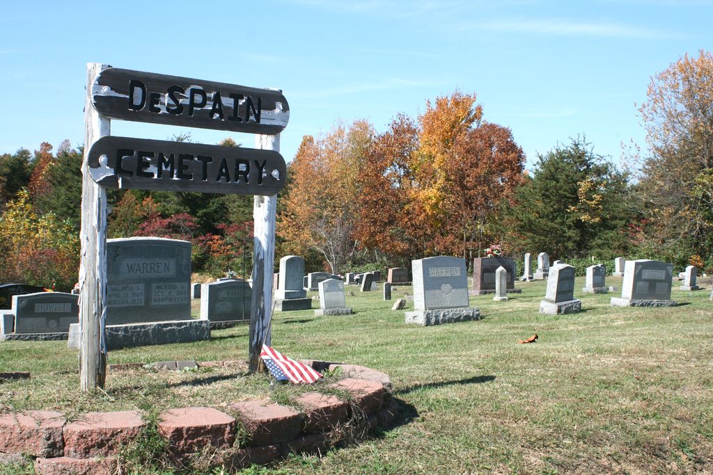
| Memorials | : | 11 |
| Location | : | Green County, USA |
| Coordinate | : | 37.4605120, -85.6106990 |
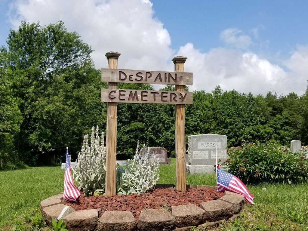
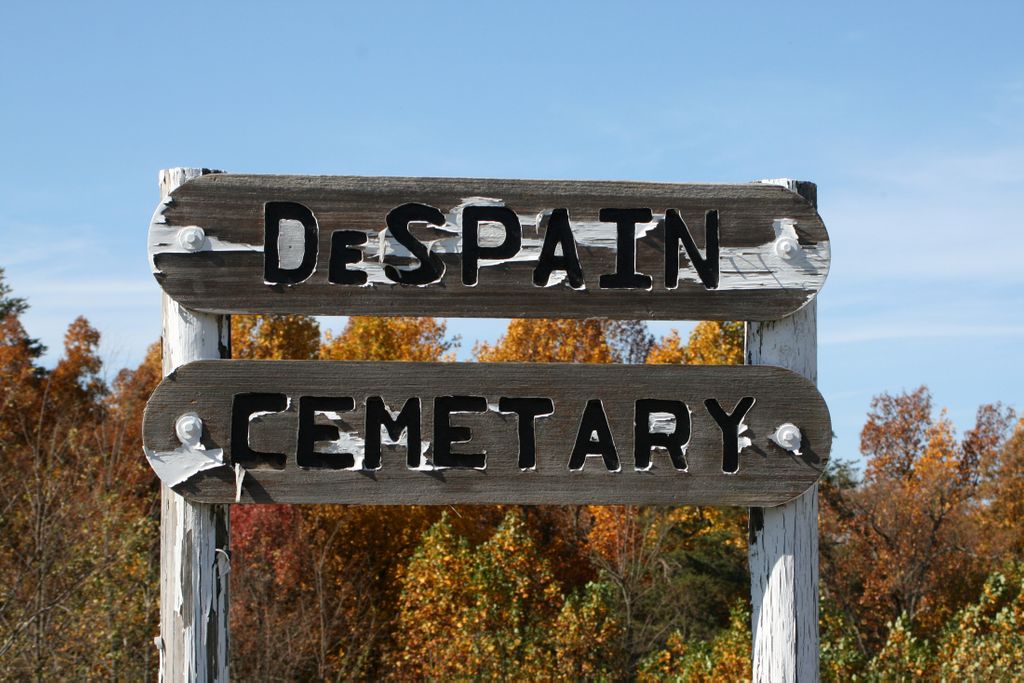
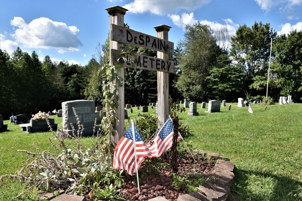
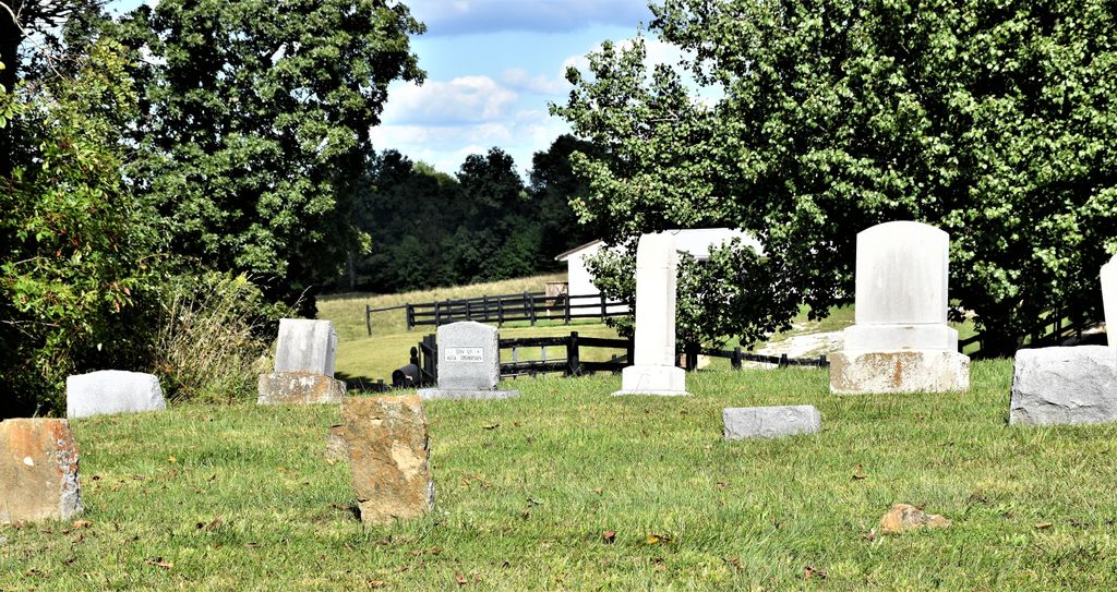
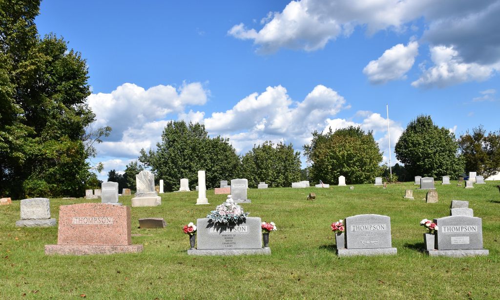
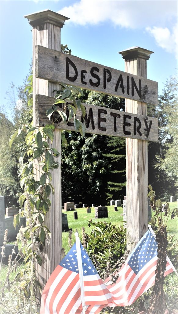
| Description | : | The cemetery is located near Wards, about two miles west of Hwy. 210 on the Larue-Green County line. On Hibernia map, Section 12-L-47 Carter coordinates. The cemetery is well kept and dates back to about 1880. John DeSpain and Lewis DeSpain's small boys use to play under the big tree in the field across from William Henry DeSpain home. When the boys died (very young) William Henry DeSpain donated the land to bury the boys under the tree where they played. That was the start of the DeSpain Cemetery. |
frequently asked questions (FAQ):
-
Where is DeSpain Cemetery?
DeSpain Cemetery is located at Green County ,Kentucky ,USA.
-
DeSpain Cemetery cemetery's updated grave count on graveviews.com?
11 memorials
-
Where are the coordinates of the DeSpain Cemetery?
Latitude: 37.4605120
Longitude: -85.6106990
Nearby Cemetories:
1. Pleasant Ridge Baptist Church Cemetery
LaRue County, USA
Coordinate: 37.4677310, -85.6151200
2. DeSpain Cemetery
Bloyd, Green County, USA
Coordinate: 37.4571120, -85.5945680
3. Ball Hollow Cemetery
Ginseng, LaRue County, USA
Coordinate: 37.4810700, -85.6070600
4. Corinth Baptist Church Cemetery
Hodgenville, LaRue County, USA
Coordinate: 37.4689160, -85.5827680
5. Houston Cemetery
Buffalo, LaRue County, USA
Coordinate: 37.4858410, -85.5957320
6. Mount Sherman Cemetery
LaRue County, USA
Coordinate: 37.4479810, -85.6539730
7. Dezarn Cemetery
Green County, USA
Coordinate: 37.4247017, -85.6271973
8. Otter Creek Baptist Cemetery
Buffalo, LaRue County, USA
Coordinate: 37.4663460, -85.5544770
9. Mount Tabor Church Cemetery
Buffalo, LaRue County, USA
Coordinate: 37.4889100, -85.6584200
10. Howell Family Cemetery
Ginseng, LaRue County, USA
Coordinate: 37.5037500, -85.5834500
11. Mount Moriah Baptist Church Cemetery
Mount Sherman, LaRue County, USA
Coordinate: 37.4425500, -85.6743740
12. Jones Cemetery
Green County, USA
Coordinate: 37.4043999, -85.6222000
13. Baird Family Cemetery
Ginseng, LaRue County, USA
Coordinate: 37.5025390, -85.5613310
14. Warren Cemetery
Bloyd, Green County, USA
Coordinate: 37.4013120, -85.5843130
15. Benningfield Chapel Cemetery
LaRue County, USA
Coordinate: 37.4437740, -85.6877980
16. Shiboley Church Cemetery
Jonesville, Hart County, USA
Coordinate: 37.4147800, -85.6666300
17. Levelwoods Methodist Cemetery
LaRue County, USA
Coordinate: 37.5030880, -85.5470290
18. Darnell Cemetery
Bloyd, Green County, USA
Coordinate: 37.3928400, -85.6092740
19. Walker Cemetery
Allendale, Green County, USA
Coordinate: 37.3953018, -85.5877991
20. Masonic Hall Cemetery
LaRue County, USA
Coordinate: 37.5365170, -85.6027740
21. Stillwell Family Cemetery
Hodgenville, LaRue County, USA
Coordinate: 37.5314950, -85.5675530
22. Gore-Skaggs Family Cemetery
Hart County, USA
Coordinate: 37.4170100, -85.6982900
23. Bell Cemetery
Green County, USA
Coordinate: 37.3783000, -85.5925000
24. Union Band Baptist Cemetery
Howardstown, Nelson County, USA
Coordinate: 37.5405140, -85.5780820

