
| Memorials | : | 0 |
| Location | : | Ginseng, LaRue County, USA |
| Coordinate | : | 37.5025390, -85.5613310 |
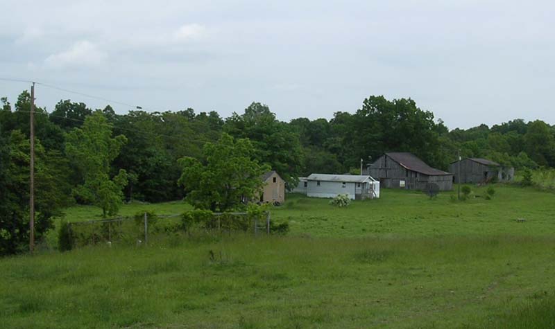
| Description | : | This small family cemetery is located about one mile west of the Levelwoods Methodist Church. Turn left near the crest of a hill onto Warren Road. The cemetery is about 3/4 mile due west of the road. The cemetery dates back to at least the 1830's and is on the Everett Warren farm. (Update: in 2003 this farm is owned by W. Farrar, a retired soldier, and his family. Not from this area). The cemetery is grown up in blackberry bushes and contains about six tombstones. The dense vegetation prevented the author from reading three tombstones.(update, Russell Perkins,... Read More |
frequently asked questions (FAQ):
-
Where is Baird Family Cemetery?
Baird Family Cemetery is located at L H Brewer Road Ginseng, LaRue County ,Kentucky , 42718USA.
-
Baird Family Cemetery cemetery's updated grave count on graveviews.com?
0 memorials
-
Where are the coordinates of the Baird Family Cemetery?
Latitude: 37.5025390
Longitude: -85.5613310
Nearby Cemetories:
1. Levelwoods Methodist Cemetery
LaRue County, USA
Coordinate: 37.5030880, -85.5470290
2. Howell Family Cemetery
Ginseng, LaRue County, USA
Coordinate: 37.5037500, -85.5834500
3. Stillwell Family Cemetery
Hodgenville, LaRue County, USA
Coordinate: 37.5314950, -85.5675530
4. Houston Cemetery
Buffalo, LaRue County, USA
Coordinate: 37.4858410, -85.5957320
5. Otter Creek Baptist Cemetery
Buffalo, LaRue County, USA
Coordinate: 37.4663460, -85.5544770
6. Bethel Baptist Church Cemetery
LaRue County, USA
Coordinate: 37.5033330, -85.5147110
7. Corinth Baptist Church Cemetery
Hodgenville, LaRue County, USA
Coordinate: 37.4689160, -85.5827680
8. Union Band Baptist Cemetery
Howardstown, Nelson County, USA
Coordinate: 37.5405140, -85.5780820
9. Ball Hollow Cemetery
Ginseng, LaRue County, USA
Coordinate: 37.4810700, -85.6070600
10. New Bethlehem Baptist Church Cemetery
Attilla, LaRue County, USA
Coordinate: 37.4983400, -85.5033100
11. Beech Grove Methodist Cemetery
Howardstown, Nelson County, USA
Coordinate: 37.5449480, -85.5856950
12. Masonic Hall Cemetery
LaRue County, USA
Coordinate: 37.5365170, -85.6027740
13. Skaggs Cemetery
Attilla, LaRue County, USA
Coordinate: 37.4821600, -85.5026800
14. DeSpain Cemetery
Bloyd, Green County, USA
Coordinate: 37.4571120, -85.5945680
15. Pleasant Ridge Baptist Church Cemetery
LaRue County, USA
Coordinate: 37.4677310, -85.6151200
16. DeSpain Cemetery
Green County, USA
Coordinate: 37.4605120, -85.6106990
17. Rolling Fork Baptist Cemetery
Gleanings, LaRue County, USA
Coordinate: 37.5606120, -85.5320700
18. Highview United Methodist Church Cemetery
Raywick, Marion County, USA
Coordinate: 37.5537100, -85.4983150
19. Reuben Brown Cemetery
Leafdale, LaRue County, USA
Coordinate: 37.5594220, -85.6243860
20. Sutton Cemetery
Marion County, USA
Coordinate: 37.5275002, -85.4689026
21. Skaggs Family Cemetery
Raywick, Marion County, USA
Coordinate: 37.5016190, -85.4628140
22. Mount Tabor Church Cemetery
Buffalo, LaRue County, USA
Coordinate: 37.4889100, -85.6584200
23. Saint Ann Cemetery
Nelson County, USA
Coordinate: 37.5780983, -85.5903015
24. Ratliff Family Cemetery
Raywick, Marion County, USA
Coordinate: 37.4733300, -85.4631000