
| Memorials | : | 0 |
| Location | : | LaRue County, USA |
| Coordinate | : | 37.5365170, -85.6027740 |
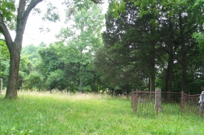
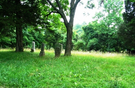
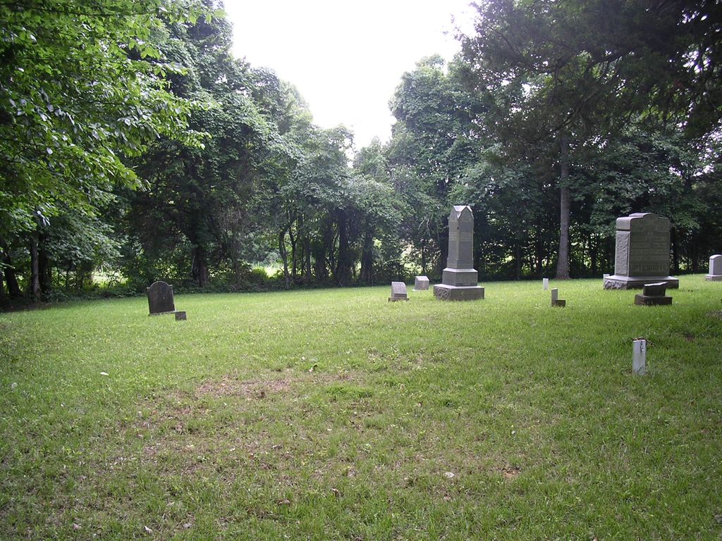
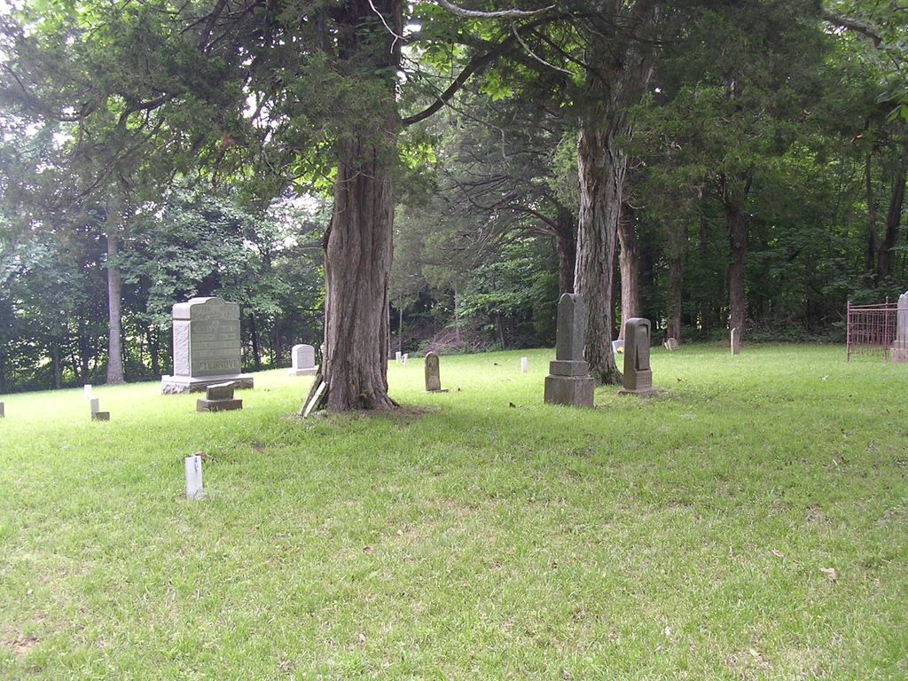
| Description | : | Land for the Masonic Hall property was deeded to the LaRue County School District and Masonic Hall. On this land was built a building with two floors. On the first floor was the school and on the second is where the meetings were held by the Masonic Lodge. To the side of the building is where the Masonic Hall cemetery was placed. This land had been part of the land that Mary Elizabeth Ferrill Uptegrove inherited from her father. |
frequently asked questions (FAQ):
-
Where is Masonic Hall Cemetery?
Masonic Hall Cemetery is located at LaRue County ,Kentucky ,USA.
-
Masonic Hall Cemetery cemetery's updated grave count on graveviews.com?
0 memorials
-
Where are the coordinates of the Masonic Hall Cemetery?
Latitude: 37.5365170
Longitude: -85.6027740
Nearby Cemetories:
1. Beech Grove Methodist Cemetery
Howardstown, Nelson County, USA
Coordinate: 37.5449480, -85.5856950
2. Union Band Baptist Cemetery
Howardstown, Nelson County, USA
Coordinate: 37.5405140, -85.5780820
3. Stillwell Family Cemetery
Hodgenville, LaRue County, USA
Coordinate: 37.5314950, -85.5675530
4. Reuben Brown Cemetery
Leafdale, LaRue County, USA
Coordinate: 37.5594220, -85.6243860
5. Howell Family Cemetery
Ginseng, LaRue County, USA
Coordinate: 37.5037500, -85.5834500
6. Saint Ann Cemetery
Nelson County, USA
Coordinate: 37.5780983, -85.5903015
7. Baird Family Cemetery
Ginseng, LaRue County, USA
Coordinate: 37.5025390, -85.5613310
8. Houston Cemetery
Buffalo, LaRue County, USA
Coordinate: 37.4858410, -85.5957320
9. County Farm Cemetery
Hodgenville, LaRue County, USA
Coordinate: 37.5826200, -85.6316060
10. Oak Grove Church Cemetery
LaRue County, USA
Coordinate: 37.5631030, -85.6636670
11. Levelwoods Methodist Cemetery
LaRue County, USA
Coordinate: 37.5030880, -85.5470290
12. Ball Hollow Cemetery
Ginseng, LaRue County, USA
Coordinate: 37.4810700, -85.6070600
13. Saint Joachim Cemetery
Hodgenville, LaRue County, USA
Coordinate: 37.5828018, -85.6466980
14. Rolling Fork Baptist Cemetery
Gleanings, LaRue County, USA
Coordinate: 37.5606120, -85.5320700
15. Mount Tabor Church Cemetery
Buffalo, LaRue County, USA
Coordinate: 37.4889100, -85.6584200
16. Corinth Baptist Church Cemetery
Hodgenville, LaRue County, USA
Coordinate: 37.4689160, -85.5827680
17. Pleasant Ridge Baptist Church Cemetery
LaRue County, USA
Coordinate: 37.4677310, -85.6151200
18. George Redmon Family Cemetery
LaRue County, USA
Coordinate: 37.5988700, -85.6419210
19. Pleasant Grove Cemetery
Hodgenville, LaRue County, USA
Coordinate: 37.5874040, -85.6630170
20. DeSpain Cemetery
Green County, USA
Coordinate: 37.4605120, -85.6106990
21. Bethel Baptist Church Cemetery
LaRue County, USA
Coordinate: 37.5033330, -85.5147110
22. DeSpain Cemetery
Bloyd, Green County, USA
Coordinate: 37.4571120, -85.5945680
23. Otter Creek Baptist Cemetery
Buffalo, LaRue County, USA
Coordinate: 37.4663460, -85.5544770
24. Buffalo Baptist Cemetery
Buffalo, LaRue County, USA
Coordinate: 37.5141100, -85.7018990