
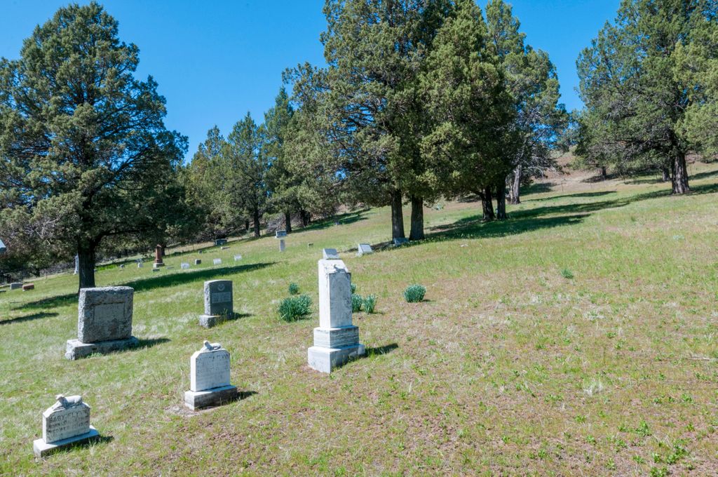
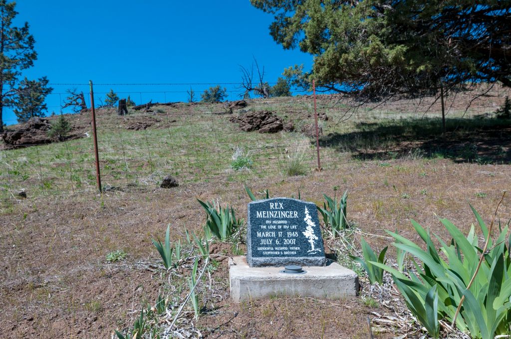
| Memorials | : | 0 |
| Location | : | Ritter, Grant County, USA |
| Coordinate | : | 44.8875008, -119.1402969 |
| Description | : | Originally called the Old Ritter Cemetery |
frequently asked questions (FAQ):
-
Where is Dickerson Ranch Cemetery?
Dickerson Ranch Cemetery is located at Range 30E, Township 8S, Section 7 Ritter, Grant County ,Oregon ,USA.
-
Dickerson Ranch Cemetery cemetery's updated grave count on graveviews.com?
0 memorials
-
Where are the coordinates of the Dickerson Ranch Cemetery?
Latitude: 44.8875008
Longitude: -119.1402969
Nearby Cemetories:
1. Ritter Cemetery
Ritter, Grant County, USA
Coordinate: 44.9117012, -119.1481018
2. Walton Ranch Cemetery
Grant County, USA
Coordinate: 44.8675499, -119.0265656
3. Kilbride Cemetery
Ritter, Grant County, USA
Coordinate: 44.8434200, -118.9918300
4. Johnson Children Burials
Long Creek, Grant County, USA
Coordinate: 44.7131690, -119.1066030
5. Long Creek Cemetery
Long Creek, Grant County, USA
Coordinate: 44.7172012, -119.0777969
6. Hamilton Cemetery
Hamilton, Grant County, USA
Coordinate: 44.7435989, -119.3167038
7. Cottonwood Cemetery
Monument, Grant County, USA
Coordinate: 44.8127747, -119.4158936
8. Monument Cemetery
Monument, Grant County, USA
Coordinate: 44.8208008, -119.4235992
9. Fox Valley Cemetery
Grant County, USA
Coordinate: 44.6375008, -119.1513977
10. Cupper Canyon Cemetery
Monument, Grant County, USA
Coordinate: 44.8374300, -119.5015100
11. Ukiah Cemetery
Ukiah, Umatilla County, USA
Coordinate: 45.1418991, -118.9306030
12. Galena Cemetery
Grant County, USA
Coordinate: 44.7083015, -118.8056030
13. Sturdivant Cemetery
Ukiah, Umatilla County, USA
Coordinate: 45.1685000, -118.9669500
14. Albee Cemetery
Albee, Umatilla County, USA
Coordinate: 45.2102000, -118.9346000
15. Gurdane Cemetery
Umatilla County, USA
Coordinate: 45.2689018, -119.1136017
16. Alexander Patterson Gravesite
Umatilla County, USA
Coordinate: 45.2694016, -119.1027985
17. Haystack Cemetery
Wheeler County, USA
Coordinate: 44.8800011, -119.7352982
18. Rhea Creek Cemetery
Morrow County, USA
Coordinate: 45.2219009, -119.5410995
19. Clark Tippitt Cemetery
Morrow County, USA
Coordinate: 45.3424950, -119.2265472
20. Darr Grave
Umatilla County, USA
Coordinate: 45.3417015, -119.0096970
21. Moon Creek Cemetery
Mount Vernon, Grant County, USA
Coordinate: 44.4291992, -119.2469025
22. Hester A Lemons Grave
Mount Vernon, Grant County, USA
Coordinate: 44.4228060, -119.1501540
23. Cummings Cemetery
Mount Vernon, Grant County, USA
Coordinate: 44.4398000, -119.3452000
24. Spray Cemetery
Spray, Wheeler County, USA
Coordinate: 44.8471985, -119.8110962