
| Memorials | : | 0 |
| Location | : | Donhead St Andrew, Wiltshire Unitary Authority, England |
| Website | : | www.donheadstandrew-pc.org.uk/ |
| Coordinate | : | 51.0229507, -2.1204580 |
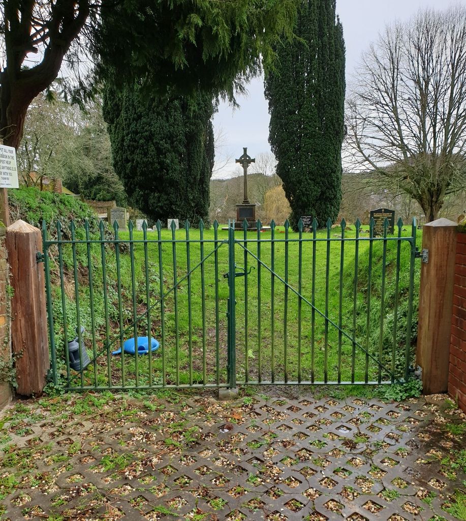
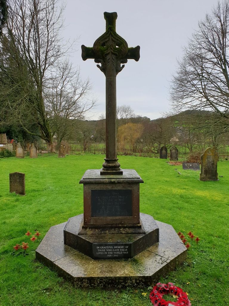
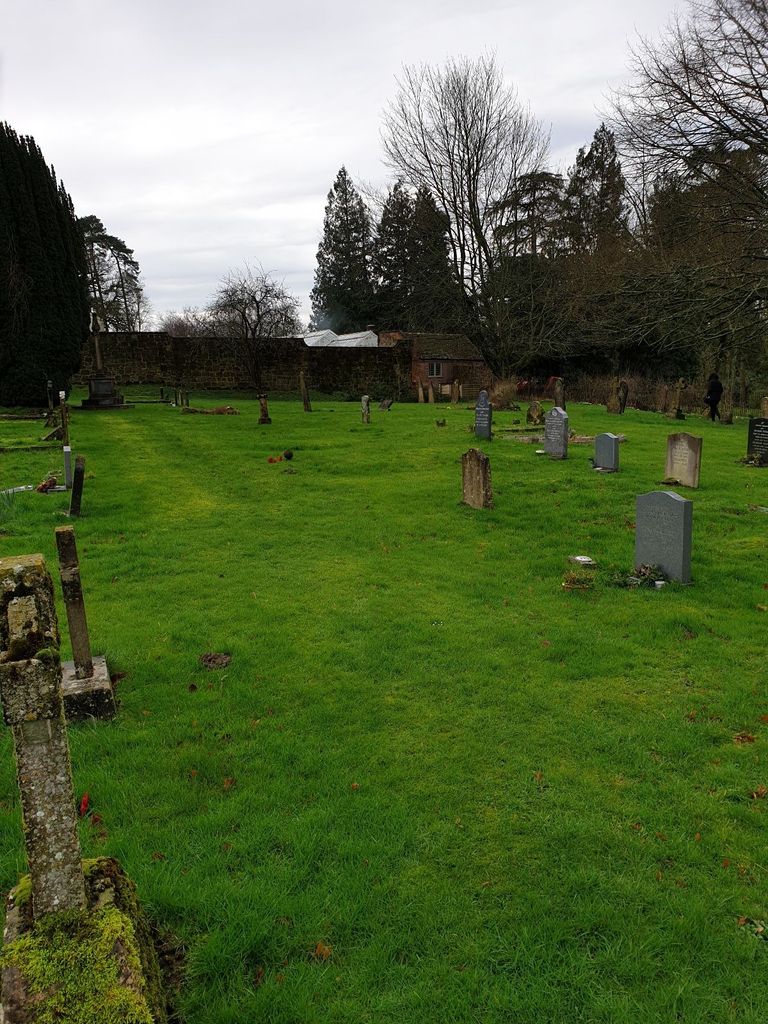
| Description | : | The land for the cemetery was donated by Reverend Horace Edwin Chapman, Rector of Donhead St. Andrew, on November 8, 1895 [1]. The first interment took place on Thursday, February 20, 1896 [2]. The cemetery contains a First World War memorial and one war grave. Refs: [1] Donhead St. Andrew Asset Register. [2] p6, Western Gazette, Friday, February 28, 1896. |
frequently asked questions (FAQ):
-
Where is Donhead St. Andrew Village Cemetery?
Donhead St. Andrew Village Cemetery is located at Lower Street Donhead St Andrew, Wiltshire Unitary Authority ,Wiltshire , SP7 9EEEngland.
-
Donhead St. Andrew Village Cemetery cemetery's updated grave count on graveviews.com?
0 memorials
-
Where are the coordinates of the Donhead St. Andrew Village Cemetery?
Latitude: 51.0229507
Longitude: -2.1204580
Nearby Cemetories:
1. St. Andrew's Churchyard
Donhead St Andrew, Wiltshire Unitary Authority, England
Coordinate: 51.0228480, -2.1231370
2. St. Mary's Churchyard
Donhead St Mary, Wiltshire Unitary Authority, England
Coordinate: 51.0190000, -2.1343080
3. St John's Churchyard and Cemetery
Donhead St Mary, Wiltshire Unitary Authority, England
Coordinate: 51.0028000, -2.1413417
4. St. John the Baptist Churchyard
Berwick St John, Wiltshire Unitary Authority, England
Coordinate: 51.0015430, -2.0796670
5. St. James' Churchyard
Ansty, Wiltshire Unitary Authority, England
Coordinate: 51.0359979, -2.0634072
6. Shaftesbury Cemetery
Shaftesbury, North Dorset District, England
Coordinate: 51.0050660, -2.1834550
7. St. Rumbold Churchyard
Cann, North Dorset District, England
Coordinate: 51.0036070, -2.1904180
8. St Peter's Church
Shaftesbury, North Dorset District, England
Coordinate: 51.0057190, -2.1967650
9. Shaftesbury Abbey Ruins
Shaftesbury, North Dorset District, England
Coordinate: 51.0053000, -2.1986000
10. Holy Trinity Churchyard
Shaftesbury, North Dorset District, England
Coordinate: 51.0058250, -2.1994730
11. St Thomas Churchyard
Melbury Abbas, North Dorset District, England
Coordinate: 50.9799490, -2.1694830
12. St. Mary's Churchyard
Alvediston, Wiltshire Unitary Authority, England
Coordinate: 51.0149340, -2.0344800
13. St James Churchyard
Shaftesbury, North Dorset District, England
Coordinate: 51.0007100, -2.2037560
14. St John's Churchyard
Motcombe, North Dorset District, England
Coordinate: 51.0073350, -2.2083450
15. St. Mary's Churchyard
Motcombe, North Dorset District, England
Coordinate: 51.0263000, -2.2165000
16. St. Mary's Churchyard
East Knoyle, Wiltshire Unitary Authority, England
Coordinate: 51.0739825, -2.1723783
17. Saint Nicholas' Church
Ashmore, North Dorset District, England
Coordinate: 50.9592570, -2.1272830
18. Saint Mary the Virgin Churchyard
Compton Abbas, North Dorset District, England
Coordinate: 50.9654160, -2.1880250
19. All Saints Churchyard
Closworth, South Somerset District, England
Coordinate: 51.0588880, -2.0211820
20. St Andrew's Churchyard
Fontmell Magna, North Dorset District, England
Coordinate: 50.9521800, -2.1929100
21. St Margaret of Antioch Churchayd
Chilmark, Wiltshire Unitary Authority, England
Coordinate: 51.0942400, -2.0441800
22. All Saints Church Cemetery
Chicklade, Wiltshire Unitary Authority, England
Coordinate: 51.1095310, -2.1309720
23. All Saints Churchyard
North Dorset District, England
Coordinate: 50.9894410, -2.2541640
24. Holy Trinity Churchyard
Bowerchalke, Wiltshire Unitary Authority, England
Coordinate: 51.0064450, -1.9747320