
| Memorials | : | 0 |
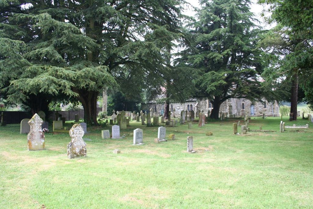
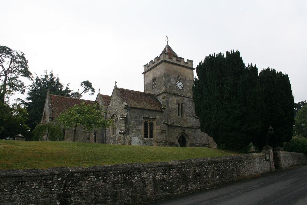
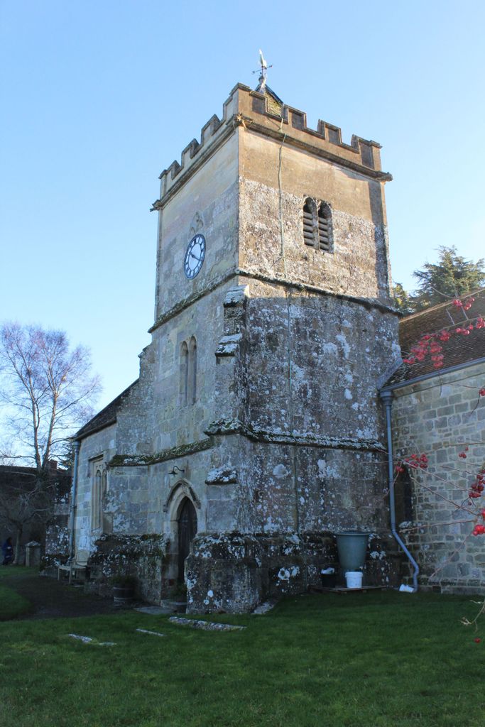
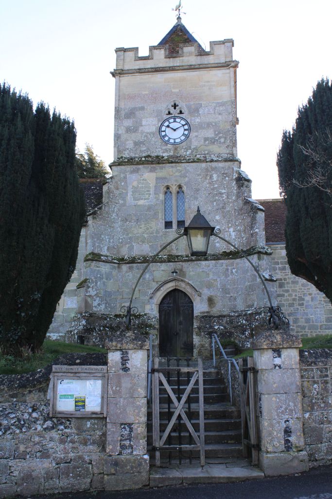
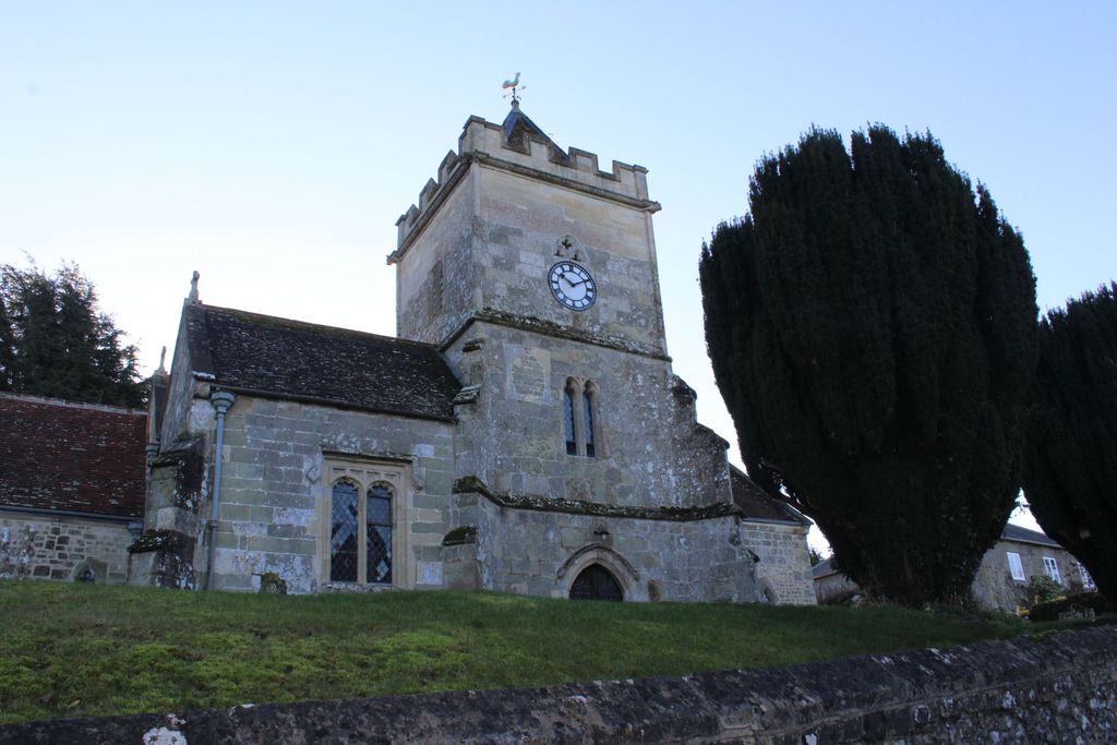
| Location | : | Bowerchalke, Wiltshire Unitary Authority, England |
| Coordinate | : | 51.0064450, -1.9747320 |
frequently asked questions (FAQ):
-
Where is Holy Trinity Churchyard?
Holy Trinity Churchyard is located at Bowerchalke, Wiltshire Unitary Authority ,Wiltshire ,England.
-
Holy Trinity Churchyard cemetery's updated grave count on graveviews.com?
0 memorials
-
Where are the coordinates of the Holy Trinity Churchyard?
Latitude: 51.0064450
Longitude: -1.9747320
Nearby Cemetories:
1. All Saints Churchyard
Broad Chalke, Wiltshire Unitary Authority, England
Coordinate: 51.0274220, -1.9433110
2. St. Mary's Churchyard
Alvediston, Wiltshire Unitary Authority, England
Coordinate: 51.0149340, -2.0344800
3. St. Rumbold's Churchyard
Pentridge, East Dorset District, England
Coordinate: 50.9598410, -1.9537360
4. St. Mary's Churchyard
Sixpenny Handley, East Dorset District, England
Coordinate: 50.9552100, -2.0076000
5. All Saints Churchyard
Martin, New Forest District, England
Coordinate: 50.9753760, -1.9009220
6. All Saints Churchyard
Closworth, South Somerset District, England
Coordinate: 51.0588880, -2.0211820
7. St. James' Churchyard
Ansty, Wiltshire Unitary Authority, England
Coordinate: 51.0359979, -2.0634072
8. St. Michael's Churchyard
Compton Chamberlayne, Wiltshire Unitary Authority, England
Coordinate: 51.0700400, -1.9598240
9. St. John the Baptist Churchyard
Berwick St John, Wiltshire Unitary Authority, England
Coordinate: 51.0015430, -2.0796670
10. St. John the Baptist Churchyard
Bishopstone (Salisbury), Wiltshire Unitary Authority, England
Coordinate: 51.0379160, -1.8812960
11. St Editha Churchyard
Baverstock, Wiltshire Unitary Authority, England
Coordinate: 51.0835750, -1.9603790
12. Saint Martin Churchyard
Barford St Martin, Wiltshire Unitary Authority, England
Coordinate: 51.0818400, -1.9210400
13. Barford St Martin Church Cemetery
Barford St Martin, Wiltshire Unitary Authority, England
Coordinate: 51.0837860, -1.9186010
14. St. Michael and All Angels Cemetery
Coombe Bissett, Wiltshire Unitary Authority, England
Coordinate: 51.0361120, -1.8473230
15. Donhead St. Andrew Village Cemetery
Donhead St Andrew, Wiltshire Unitary Authority, England
Coordinate: 51.0229507, -2.1204580
16. Ss Mary & Bartholomew Churchyard
Cranborne, East Dorset District, England
Coordinate: 50.9187790, -1.9237020
17. All Hallows Old Cemetery
Wimborne St Giles, North Dorset District, England
Coordinate: 50.9123200, -1.9673800
18. St. Andrew's Churchyard
Donhead St Andrew, Wiltshire Unitary Authority, England
Coordinate: 51.0228480, -2.1231370
19. St. Andrew's Churchyard
Rockbourne, New Forest District, England
Coordinate: 50.9640400, -1.8369600
20. St Margaret of Antioch Churchayd
Chilmark, Wiltshire Unitary Authority, England
Coordinate: 51.0942400, -2.0441800
21. Wimborne St Giles Churchyard
Wimborne St Giles, North Dorset District, England
Coordinate: 50.9071030, -1.9560130
22. St. Mary's Churchyard
Donhead St Mary, Wiltshire Unitary Authority, England
Coordinate: 51.0190000, -2.1343080
23. St George Churchyard
Damerham, New Forest District, England
Coordinate: 50.9416320, -1.8483240
24. St John's Churchyard and Cemetery
Donhead St Mary, Wiltshire Unitary Authority, England
Coordinate: 51.0028000, -2.1413417