
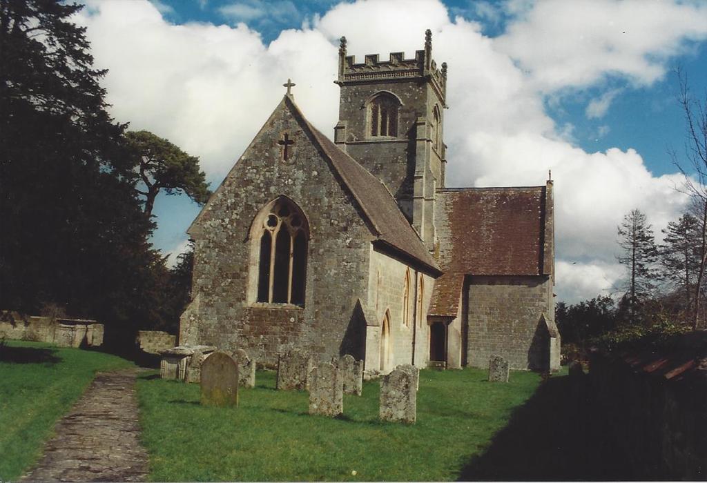
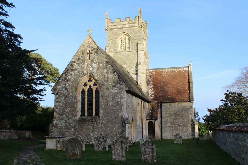
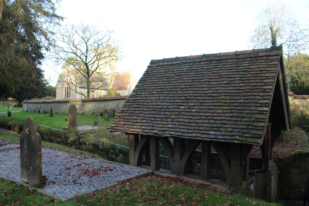
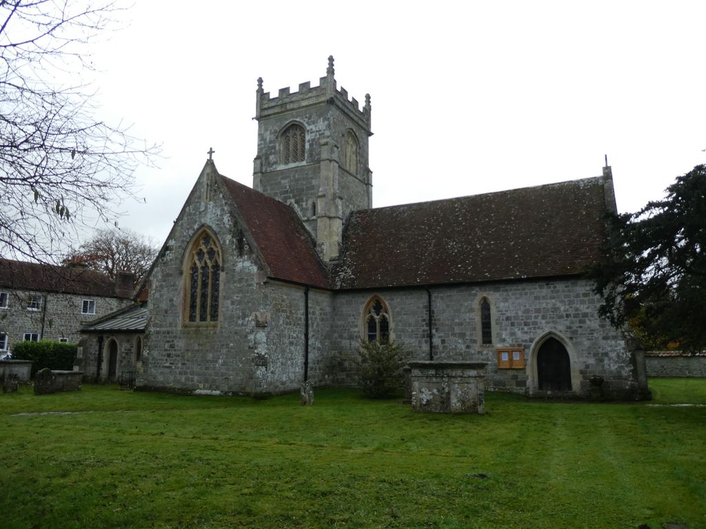
| Memorials | : | 0 |
| Location | : | Berwick St John, Wiltshire Unitary Authority, England |
| Coordinate | : | 51.0015430, -2.0796670 |
frequently asked questions (FAQ):
-
Where is St. John the Baptist Churchyard?
St. John the Baptist Churchyard is located at Berwick St John, Wiltshire Unitary Authority ,Wiltshire ,England.
-
St. John the Baptist Churchyard cemetery's updated grave count on graveviews.com?
0 memorials
-
Where are the coordinates of the St. John the Baptist Churchyard?
Latitude: 51.0015430
Longitude: -2.0796670
Nearby Cemetories:
1. St. Mary's Churchyard
Alvediston, Wiltshire Unitary Authority, England
Coordinate: 51.0149340, -2.0344800
2. Donhead St. Andrew Village Cemetery
Donhead St Andrew, Wiltshire Unitary Authority, England
Coordinate: 51.0229507, -2.1204580
3. St. Andrew's Churchyard
Donhead St Andrew, Wiltshire Unitary Authority, England
Coordinate: 51.0228480, -2.1231370
4. St. James' Churchyard
Ansty, Wiltshire Unitary Authority, England
Coordinate: 51.0359979, -2.0634072
5. St. Mary's Churchyard
Donhead St Mary, Wiltshire Unitary Authority, England
Coordinate: 51.0190000, -2.1343080
6. St John's Churchyard and Cemetery
Donhead St Mary, Wiltshire Unitary Authority, England
Coordinate: 51.0028000, -2.1413417
7. Saint Nicholas' Church
Ashmore, North Dorset District, England
Coordinate: 50.9592570, -2.1272830
8. St Thomas Churchyard
Melbury Abbas, North Dorset District, England
Coordinate: 50.9799490, -2.1694830
9. St. Mary's Churchyard
Sixpenny Handley, East Dorset District, England
Coordinate: 50.9552100, -2.0076000
10. Shaftesbury Cemetery
Shaftesbury, North Dorset District, England
Coordinate: 51.0050660, -2.1834550
11. Holy Trinity Churchyard
Bowerchalke, Wiltshire Unitary Authority, England
Coordinate: 51.0064450, -1.9747320
12. All Saints Churchyard
Closworth, South Somerset District, England
Coordinate: 51.0588880, -2.0211820
13. St. Rumbold Churchyard
Cann, North Dorset District, England
Coordinate: 51.0036070, -2.1904180
14. St Peter's Church
Shaftesbury, North Dorset District, England
Coordinate: 51.0057190, -2.1967650
15. Shaftesbury Abbey Ruins
Shaftesbury, North Dorset District, England
Coordinate: 51.0053000, -2.1986000
16. Holy Trinity Churchyard
Shaftesbury, North Dorset District, England
Coordinate: 51.0058250, -2.1994730
17. Saint Mary the Virgin Churchyard
Compton Abbas, North Dorset District, England
Coordinate: 50.9654160, -2.1880250
18. St James Churchyard
Shaftesbury, North Dorset District, England
Coordinate: 51.0007100, -2.2037560
19. St John's Churchyard
Motcombe, North Dorset District, England
Coordinate: 51.0073350, -2.2083450
20. St Mary Churchyard
Chettle, North Dorset District, England
Coordinate: 50.9191230, -2.0700510
21. St Andrew's Churchyard
Fontmell Magna, North Dorset District, England
Coordinate: 50.9521800, -2.1929100
22. St Mary's Church
Tarrant Gunville, North Dorset District, England
Coordinate: 50.9147358, -2.1051552
23. St. Mary's Churchyard
Motcombe, North Dorset District, England
Coordinate: 51.0263000, -2.2165000
24. St. Rumbold's Churchyard
Pentridge, East Dorset District, England
Coordinate: 50.9598410, -1.9537360