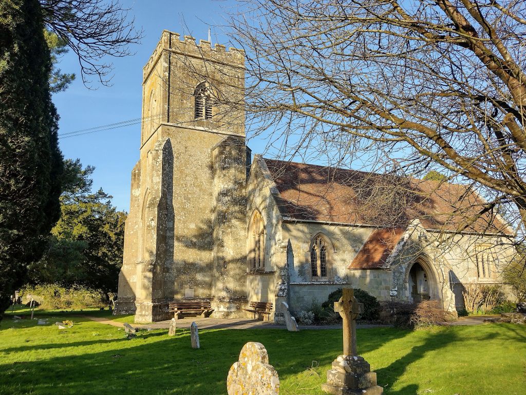
| Memorials | : | 0 |
| Location | : | Motcombe, North Dorset District, England |
| Coordinate | : | 51.0263000, -2.2165000 |
frequently asked questions (FAQ):
-
Where is St. Mary's Churchyard?
St. Mary's Churchyard is located at 1 Church Walk Motcombe, North Dorset District ,Dorset , SP7 9NTEngland.
-
St. Mary's Churchyard cemetery's updated grave count on graveviews.com?
0 memorials
-
Where are the coordinates of the St. Mary's Churchyard?
Latitude: 51.0263000
Longitude: -2.2165000
Nearby Cemetories:
1. St John's Churchyard
Motcombe, North Dorset District, England
Coordinate: 51.0073350, -2.2083450
2. Holy Trinity Churchyard
Shaftesbury, North Dorset District, England
Coordinate: 51.0058250, -2.1994730
3. Shaftesbury Abbey Ruins
Shaftesbury, North Dorset District, England
Coordinate: 51.0053000, -2.1986000
4. St Peter's Church
Shaftesbury, North Dorset District, England
Coordinate: 51.0057190, -2.1967650
5. St James Churchyard
Shaftesbury, North Dorset District, England
Coordinate: 51.0007100, -2.2037560
6. St. Rumbold Churchyard
Cann, North Dorset District, England
Coordinate: 51.0036070, -2.1904180
7. Shaftesbury Cemetery
Shaftesbury, North Dorset District, England
Coordinate: 51.0050660, -2.1834550
8. St. Mary the Virgin Churchyard
Gillingham, North Dorset District, England
Coordinate: 51.0383080, -2.2776020
9. Gillingham Garden of Rememberance
Gillingham, North Dorset District, England
Coordinate: 51.0393211, -2.2795574
10. Gillingham New Cemetery
Gillingham, North Dorset District, England
Coordinate: 51.0408540, -2.2811650
11. All Saints Churchyard
North Dorset District, England
Coordinate: 50.9894410, -2.2541640
12. Christ Church
East Stour, North Dorset District, England
Coordinate: 51.0048020, -2.2882840
13. St. Mary's Churchyard
Donhead St Mary, Wiltshire Unitary Authority, England
Coordinate: 51.0190000, -2.1343080
14. St. Simon & St Jude Church Milton on Stour
Gillingham, North Dorset District, England
Coordinate: 51.0569980, -2.2843840
15. St John's Churchyard and Cemetery
Donhead St Mary, Wiltshire Unitary Authority, England
Coordinate: 51.0028000, -2.1413417
16. St Thomas Churchyard
Melbury Abbas, North Dorset District, England
Coordinate: 50.9799490, -2.1694830
17. St. Mary's Churchyard
East Knoyle, Wiltshire Unitary Authority, England
Coordinate: 51.0739825, -2.1723783
18. St. Andrew's Churchyard
Donhead St Andrew, Wiltshire Unitary Authority, England
Coordinate: 51.0228480, -2.1231370
19. St. Michael & All Angels Churchyard
Stour Provost, North Dorset District, England
Coordinate: 50.9926020, -2.2948470
20. Donhead St. Andrew Village Cemetery
Donhead St Andrew, Wiltshire Unitary Authority, England
Coordinate: 51.0229507, -2.1204580
21. Saint Mary the Virgin Churchyard
Compton Abbas, North Dorset District, England
Coordinate: 50.9654160, -2.1880250
22. St Margaret Churchyard
Margaret Marsh, North Dorset District, England
Coordinate: 50.9668372, -2.2548074
23. St Andrew's Churchyard
Todber, North Dorset District, England
Coordinate: 50.9794600, -2.2863750
24. St. Thomas Churchyard
East Orchard, North Dorset District, England
Coordinate: 50.9605010, -2.2386630

