
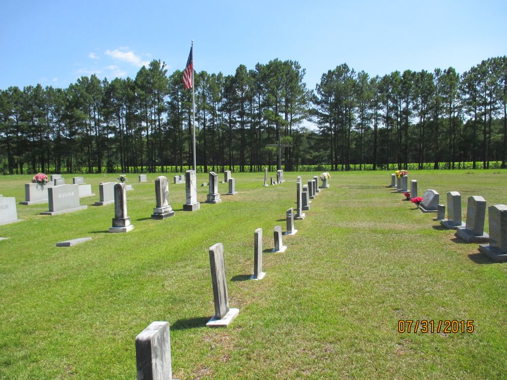
| Memorials | : | 2 |
| Location | : | West End, Moore County, USA |
| Phone | : | (910) 947-1210 |
| Coordinate | : | 35.2835840, -79.4743410 |
frequently asked questions (FAQ):
-
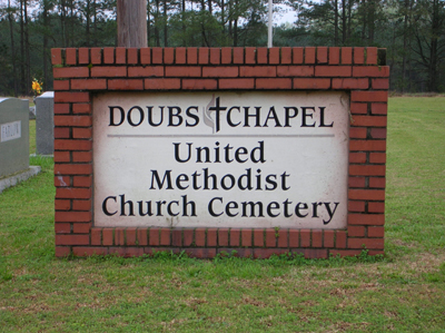
Where is Doubs Chapel United Methodist Church Cemetery?
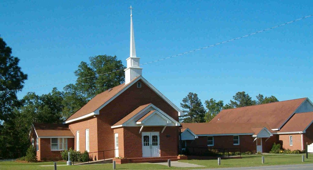
Doubs Chapel United Methodist Church Cemetery is located at 1444 Doubs Chapel Road West End, Moore County ,North Carolina , 27376USA.
-
Doubs Chapel United Methodist Church Cemetery cemetery's updated grave count on graveviews.com?
1 memorials
-
Where are the coordinates of the Doubs Chapel United Methodist Church Cemetery?
Latitude: 35.2835840
Longitude: -79.4743410
Nearby Cemetories:
1. Ingram Branch Presbyterian Church Cemetery
West End, Moore County, USA
Coordinate: 35.2900570, -79.4727800
2. Fairview Baptist Church Cemetery
West End, Moore County, USA
Coordinate: 35.2903633, -79.4917068
3. Victory Community Baptist Church Cemetery
Carthage, Moore County, USA
Coordinate: 35.2877820, -79.4522750
4. Faith Baptist Church Cemetery
West End, Moore County, USA
Coordinate: 35.2841492, -79.5079956
5. Culdee Presbyterian Church Cemetery
West End, Moore County, USA
Coordinate: 35.2506660, -79.4689180
6. Summer Hill Baptist Church Cemetery
Carthage, Moore County, USA
Coordinate: 35.3093470, -79.4372090
7. Saint Matthews Chapel Church Cemetery
Eastwood, Moore County, USA
Coordinate: 35.2451440, -79.4477820
8. Eastwood Community Cemetery
West End, Moore County, USA
Coordinate: 35.2412120, -79.4527430
9. Harris Family Cemetery
Moore County, USA
Coordinate: 35.3033530, -79.5363310
10. Warner Family Cemetery
Carthage, Moore County, USA
Coordinate: 35.3398440, -79.4695190
11. Sassafras Springs Cemetery
Carthage, Moore County, USA
Coordinate: 35.3202400, -79.4099100
12. Old Beulah Hill Church Cemetery
West End, Moore County, USA
Coordinate: 35.2227290, -79.5008470
13. Beulah Hill Baptist Church Cemetery
West End, Moore County, USA
Coordinate: 35.2222290, -79.5015564
14. John Hall Presbyterian Church Cemetery
Carthage, Moore County, USA
Coordinate: 35.3419230, -79.4296210
15. Bethlehem Baptist Church Cemetery
Carthage, Moore County, USA
Coordinate: 35.3525150, -79.4856250
16. Bible Tabernacle Church Cemetery
Southern Pines, Moore County, USA
Coordinate: 35.2514610, -79.3984920
17. Saint Augustine AME Zion Church Cemetery
Carthage, Moore County, USA
Coordinate: 35.3409460, -79.4253210
18. Eureka Presbyterian Church Cemetery
Carthage, Moore County, USA
Coordinate: 35.2746690, -79.3874700
19. Galilee Missionary Baptist Church Cemetery
West End, Moore County, USA
Coordinate: 35.2122997, -79.4861824
20. Taylortown Community Cemetery
Taylortown, Moore County, USA
Coordinate: 35.2119444, -79.4872222
21. Stony Hill Free Will Baptist Church Cemetery
Carthage, Moore County, USA
Coordinate: 35.3353860, -79.4073180
22. Barrett Family Cemetery
West End, Moore County, USA
Coordinate: 35.3322754, -79.5449066
23. Patterson Family Cemetery
Moore County, USA
Coordinate: 35.2083540, -79.4856550
24. Trinity Bible Church Cemetery
Carthage, Moore County, USA
Coordinate: 35.3215750, -79.3938350