
| Memorials | : | 25 |
| Location | : | Occidental, Sonoma County, USA |
| Coordinate | : | 38.4104996, -122.9419022 |
| Description | : | Hwy 12 west to Sebastopol. Hwy 116 north to Occidental Road. Turn right. Several miles down Cemetery is on lefthand side. |
frequently asked questions (FAQ):
-
Where is Druids Occidental Cemetery?
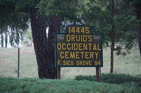
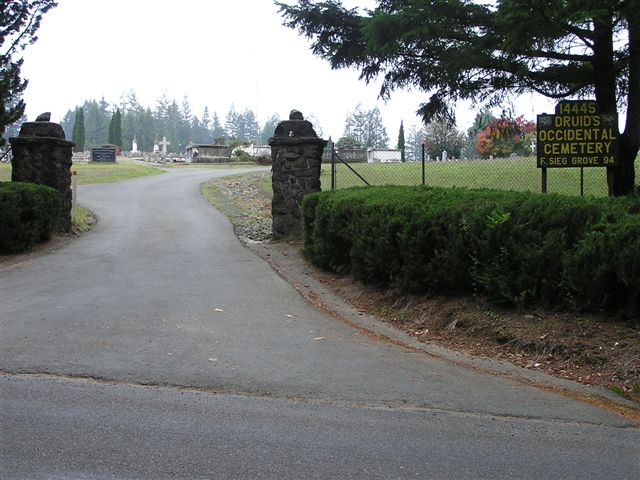
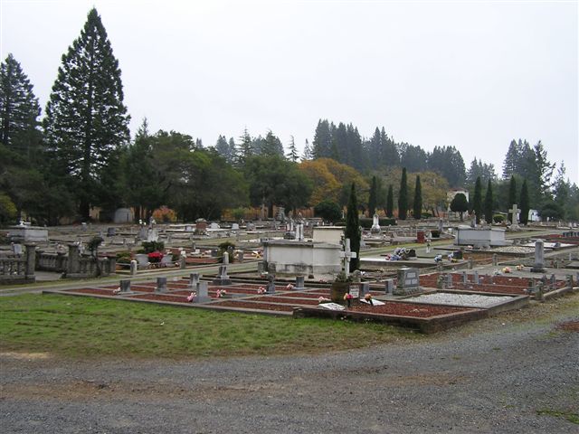
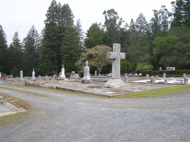
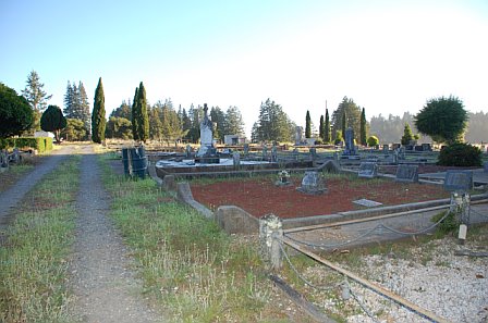
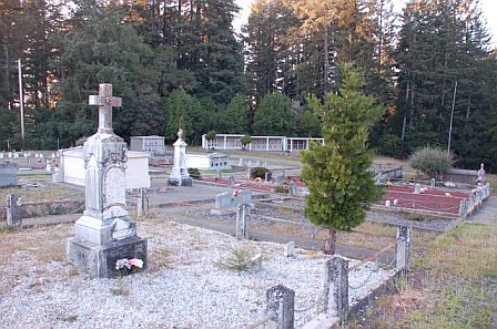
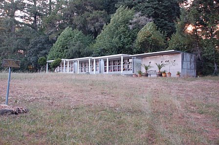
Druids Occidental Cemetery is located at 14445 Occidental Road Occidental, Sonoma County ,California ,USA.
-
Druids Occidental Cemetery cemetery's updated grave count on graveviews.com?
24 memorials
-
Where are the coordinates of the Druids Occidental Cemetery?
Latitude: 38.4104996
Longitude: -122.9419022
Nearby Cemetories:
1. Jasper O'Farrell Ranch Cemetery
Freestone, Sonoma County, USA
Coordinate: 38.3758300, -122.9090300
2. Gilliam Cemetery
Graton, Sonoma County, USA
Coordinate: 38.4314995, -122.8816986
3. Green Valley Cemetery
Sebastopol, Sonoma County, USA
Coordinate: 38.4424019, -122.8869019
4. Spring Hill Cemetery
Sebastopol, Sonoma County, USA
Coordinate: 38.3968010, -122.8637009
5. Saint Theresa of Avila Church Cemetery
Bodega, Sonoma County, USA
Coordinate: 38.3461342, -122.9723663
6. Forestview Cemetery
Forestville, Sonoma County, USA
Coordinate: 38.4677010, -122.8834000
7. Calvary Cemetery
Bodega, Sonoma County, USA
Coordinate: 38.3414993, -122.9749985
8. Saint Catherines Church Cemetery
Monte Rio, Sonoma County, USA
Coordinate: 38.4691010, -123.0104980
9. Sebastopol Memorial Lawn Cemetery
Sebastopol, Sonoma County, USA
Coordinate: 38.3981018, -122.8366013
10. Pleasant Hills Memorial Park and Mortuary
Sebastopol, Sonoma County, USA
Coordinate: 38.3792000, -122.8350983
11. McPeak Cemetery
Hacienda, Sonoma County, USA
Coordinate: 38.5097008, -122.9272003
12. McPeak Cemetery
Forestville, Sonoma County, USA
Coordinate: 38.5098190, -122.9280929
13. Duncans Mills Cemetery
Duncans Mills, Sonoma County, USA
Coordinate: 38.4593560, -123.0547780
14. Redwood Memorial Gardens
Guerneville, Sonoma County, USA
Coordinate: 38.5071983, -122.9927979
15. Steele Family Cemetery
Santa Rosa, Sonoma County, USA
Coordinate: 38.4523730, -122.8065610
16. Bodega Bay Cemetery
Bodega Bay, Sonoma County, USA
Coordinate: 38.3172740, -123.0257990
17. Canfield Cemetery
Sebastopol, Sonoma County, USA
Coordinate: 38.3512430, -122.8147040
18. Bloomfield Cemetery
Bloomfield, Sonoma County, USA
Coordinate: 38.3135986, -122.8583984
19. Del Stewart Ranch Cemetery
Cazadero, Sonoma County, USA
Coordinate: 38.4998290, -123.0793090
20. Macedonia Methodist Episcopal Church Cemetery
Sebastopol, Sonoma County, USA
Coordinate: 38.3594860, -122.7727270
21. Kricke Ranch Cemetery
Cazadero, Sonoma County, USA
Coordinate: 38.5036910, -123.0790620
22. Fulton Cemetery
Fulton, Sonoma County, USA
Coordinate: 38.4888000, -122.7786026
23. Santa Rosa Memorial Park Shiloh Annex
Windsor, Sonoma County, USA
Coordinate: 38.5247993, -122.8143005
24. Shiloh Cemetery
Windsor, Sonoma County, USA
Coordinate: 38.5256004, -122.8142014