
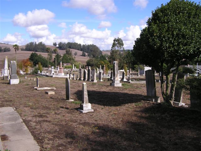
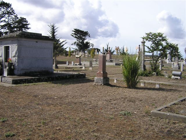
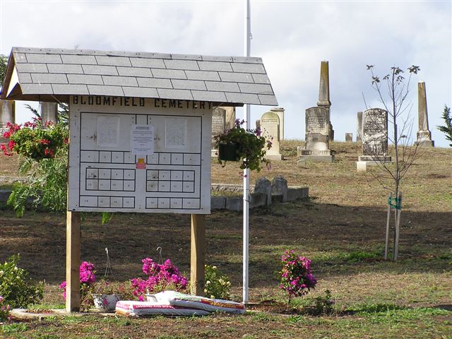
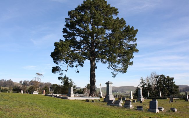
| Memorials | : | 32 |
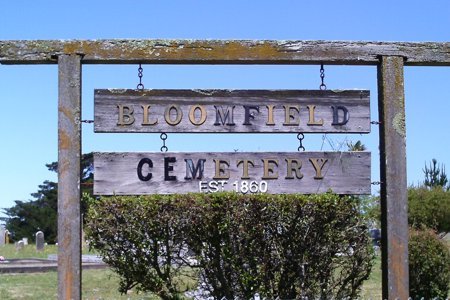
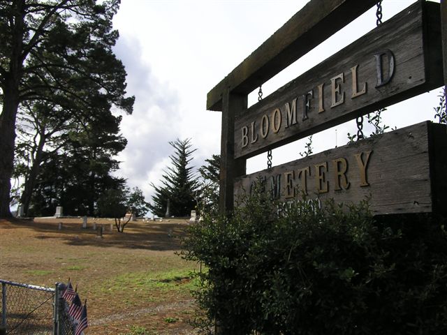
| Location | : | Bloomfield, Sonoma County, USA |
| Coordinate | : | 38.3135986, -122.8583984 |
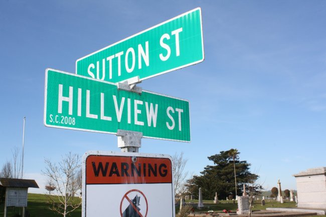
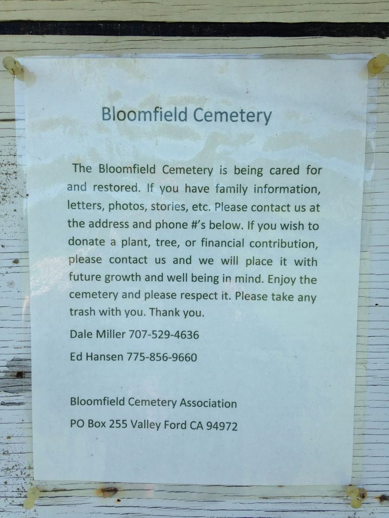
| Description | : | 101 north to Cotati. Exit Highway 116 west. Turn left on Lone Pine, then right on Bloomfield Road. After a couple of miles, before Valley Ford Rd., go right on Sutton Rd. At top of hill is the cemetery. This cemetery does not have an office or a municipality taking care of it, but concerned citizens have formed an association to preserve it and can be reached at: Bloomfield Cemetery Association P.O. Box 255 Valley Ford, CA 94972 |
frequently asked questions (FAQ):
-
Where is Bloomfield Cemetery?
Bloomfield Cemetery is located at Sutton Road Bloomfield, Sonoma County ,California ,USA.
-
Bloomfield Cemetery cemetery's updated grave count on graveviews.com?
30 memorials
-
Where are the coordinates of the Bloomfield Cemetery?
Latitude: 38.3135986
Longitude: -122.8583984

Nearby Cemetories:
1. Canfield Cemetery
Sebastopol, Sonoma County, USA
Coordinate: 38.3512430, -122.8147040
2. Pleasant Hills Memorial Park and Mortuary
Sebastopol, Sonoma County, USA
Coordinate: 38.3792000, -122.8350983
3. Jasper O'Farrell Ranch Cemetery
Freestone, Sonoma County, USA
Coordinate: 38.3758300, -122.9090300
4. Tomales Presbyterian Cemetery
Tomales, Marin County, USA
Coordinate: 38.2455215, -122.9075089
5. Tomales Catholic Cemetery
Tomales, Marin County, USA
Coordinate: 38.2482300, -122.9142500
6. Macedonia Methodist Episcopal Church Cemetery
Sebastopol, Sonoma County, USA
Coordinate: 38.3594860, -122.7727270
7. Spring Hill Cemetery
Sebastopol, Sonoma County, USA
Coordinate: 38.3968010, -122.8637009
8. Two Rock Presbyterian Church Cemetery
Two Rock, Sonoma County, USA
Coordinate: 38.2570000, -122.7795029
9. Sebastopol Memorial Lawn Cemetery
Sebastopol, Sonoma County, USA
Coordinate: 38.3981018, -122.8366013
10. Saint Theresa of Avila Church Cemetery
Bodega, Sonoma County, USA
Coordinate: 38.3461342, -122.9723663
11. Calvary Cemetery
Bodega, Sonoma County, USA
Coordinate: 38.3414993, -122.9749985
12. Druids Occidental Cemetery
Occidental, Sonoma County, USA
Coordinate: 38.4104996, -122.9419022
13. Gilliam Cemetery
Graton, Sonoma County, USA
Coordinate: 38.4314995, -122.8816986
14. Liberty Cemetery
Petaluma, Sonoma County, USA
Coordinate: 38.2781990, -122.7055500
15. Green Valley Cemetery
Sebastopol, Sonoma County, USA
Coordinate: 38.4424019, -122.8869019
16. Bodega Bay Cemetery
Bodega Bay, Sonoma County, USA
Coordinate: 38.3172740, -123.0257990
17. Steele Family Cemetery
Santa Rosa, Sonoma County, USA
Coordinate: 38.4523730, -122.8065610
18. Chapel of the Chimes Cemetery and Mausoleum
Santa Rosa, Sonoma County, USA
Coordinate: 38.4141998, -122.7137985
19. Forestview Cemetery
Forestville, Sonoma County, USA
Coordinate: 38.4677010, -122.8834000
20. Miwok Cemetery
Reynolds, Marin County, USA
Coordinate: 38.1491420, -122.8852400
21. Luther Burbank Memorial Home and Gardens Cemetery
Santa Rosa, Sonoma County, USA
Coordinate: 38.4355810, -122.7118050
22. My Pets Cemetery
Petaluma, Sonoma County, USA
Coordinate: 38.2472000, -122.6506000
23. Cypress Hill Memorial Park
Petaluma, Sonoma County, USA
Coordinate: 38.2472000, -122.6505966
24. Calvary Catholic Cemetery
Petaluma, Sonoma County, USA
Coordinate: 38.2449000, -122.6493400