
| Memorials | : | 2 |
| Location | : | Burlington, Racine County, USA |
| Phone | : | 262-662-2679 |
| Coordinate | : | 42.7143500, -88.1936900 |
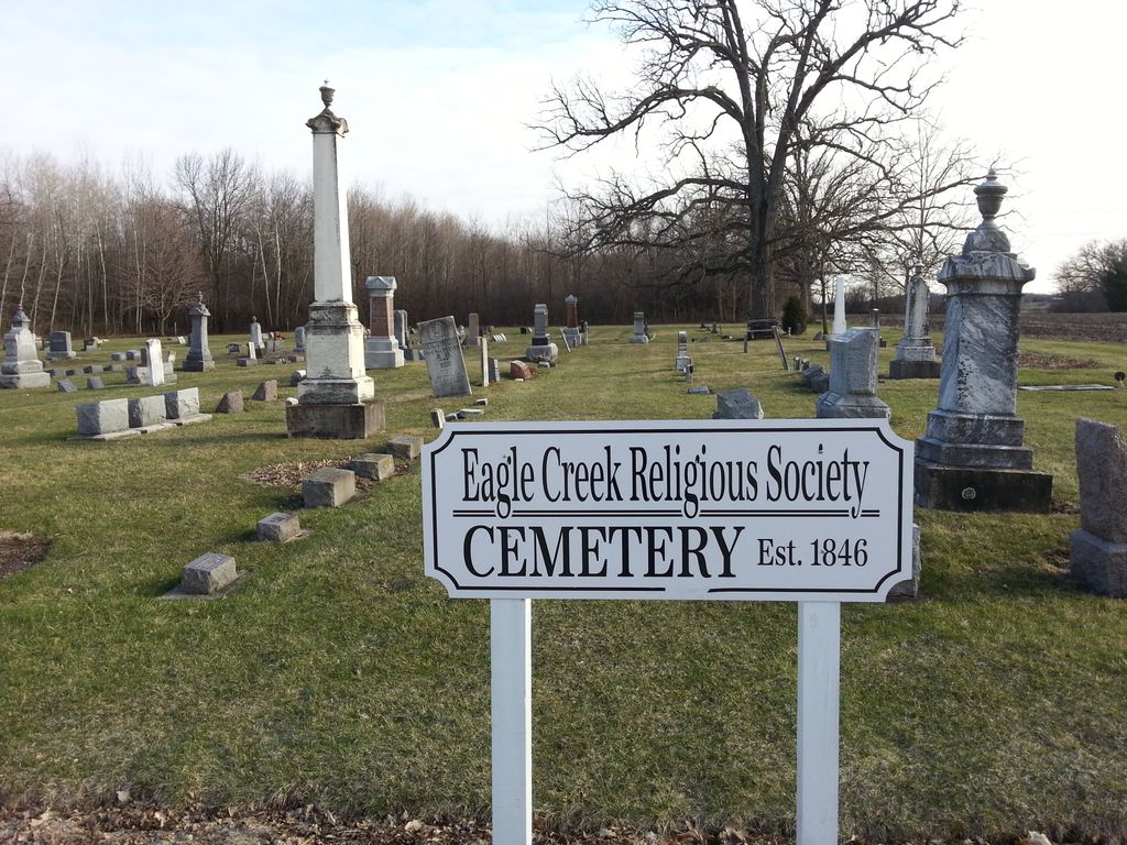
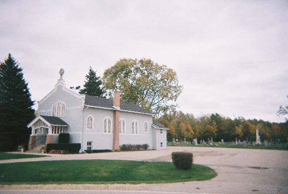
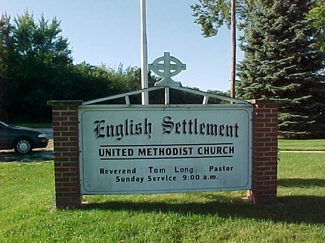
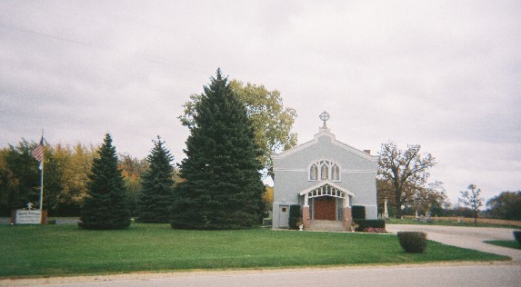
| Description | : | Eagle Creek Religious Society Cemetery, also known as English Settlement Cemetery, is located behind English Settlement United Methodist Church at the intersection of Plank Road/County Road A and English Settlement Avenue/County Road J. |
frequently asked questions (FAQ):
-
Where is Eagle Creek Religious Society Cemetery?
Eagle Creek Religious Society Cemetery is located at 28215 Plank Road/County Highway A Burlington, Racine County ,Wisconsin , 53105USA.
-
Eagle Creek Religious Society Cemetery cemetery's updated grave count on graveviews.com?
2 memorials
-
Where are the coordinates of the Eagle Creek Religious Society Cemetery?
Latitude: 42.7143500
Longitude: -88.1936900
Nearby Cemetories:
1. West Meadows Cemetery
Rochester, Racine County, USA
Coordinate: 42.7203760, -88.2021470
2. Rosewood Cemetery
Rosewood, Racine County, USA
Coordinate: 42.6840800, -88.1650300
3. Saint Thomas Aquinas Cemetery
Waterford, Racine County, USA
Coordinate: 42.7564300, -88.2101400
4. Rochester Cemetery
Rochester, Racine County, USA
Coordinate: 42.7444900, -88.2386800
5. Old Burlington Cemetery
Burlington, Racine County, USA
Coordinate: 42.6843500, -88.2522500
6. Old Village Cemetery
Waterford, Racine County, USA
Coordinate: 42.7654300, -88.2152400
7. Burlington Cemetery
Burlington, Racine County, USA
Coordinate: 42.6831017, -88.2585983
8. Saint Marys Catholic Cemetery
Kansasville, Racine County, USA
Coordinate: 42.7128460, -88.1140160
9. Saint Peters Lutheran Cemetery
Waterford, Racine County, USA
Coordinate: 42.7783012, -88.2043991
10. Saint John the Divine Episcopal Church Columbarium
Burlington, Racine County, USA
Coordinate: 42.6750700, -88.2750200
11. Rooker Cemetery
Burlington, Racine County, USA
Coordinate: 42.6974983, -88.2925034
12. Oakwood Cemetery
Waterford, Racine County, USA
Coordinate: 42.7806015, -88.2474976
13. Gods Acre Cemetery
Burlington, Racine County, USA
Coordinate: 42.6741982, -88.2853012
14. Southern Wisconsin Veterans Memorial Cemetery
Union Grove, Racine County, USA
Coordinate: 42.6984596, -88.0864029
15. Saint Charles Cemetery
Burlington, Racine County, USA
Coordinate: 42.6739006, -88.3000031
16. Honey Creek Cemetery
Rochester, Racine County, USA
Coordinate: 42.7478300, -88.3059200
17. Norway Cemetery
Norway, Racine County, USA
Coordinate: 42.8028800, -88.1708800
18. Honey Creek Memorial Cemetery
Rochester, Racine County, USA
Coordinate: 42.7494800, -88.3073400
19. United Presbyterian Cemetery
Yorkville, Racine County, USA
Coordinate: 42.7301100, -88.0720300
20. Old Voree Cemetery
Spring Prairie, Walworth County, USA
Coordinate: 42.6767100, -88.3062000
21. Frank Williams Cemetery
Spring Prairie, Walworth County, USA
Coordinate: 42.7048600, -88.3218000
22. Diener Cemetery
Spring Prairie, Walworth County, USA
Coordinate: 42.7049490, -88.3219990
23. Karcher Cemetery
Burlington, Racine County, USA
Coordinate: 42.6215800, -88.2535400
24. Mount Hope Cemetery
Spring Prairie, Walworth County, USA
Coordinate: 42.7006400, -88.3356900