
| Memorials | : | 11 |
| Location | : | Burlington, Racine County, USA |
| Phone | : | 262-763-1500 |
| Website | : | stmb.org/OurParish/Cemetery.aspx |
| Coordinate | : | 42.6741982, -88.2853012 |
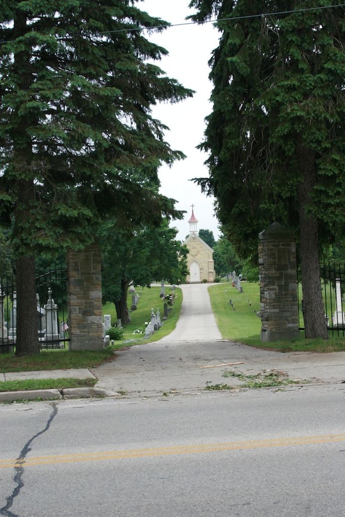
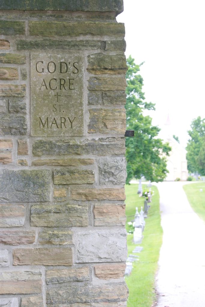
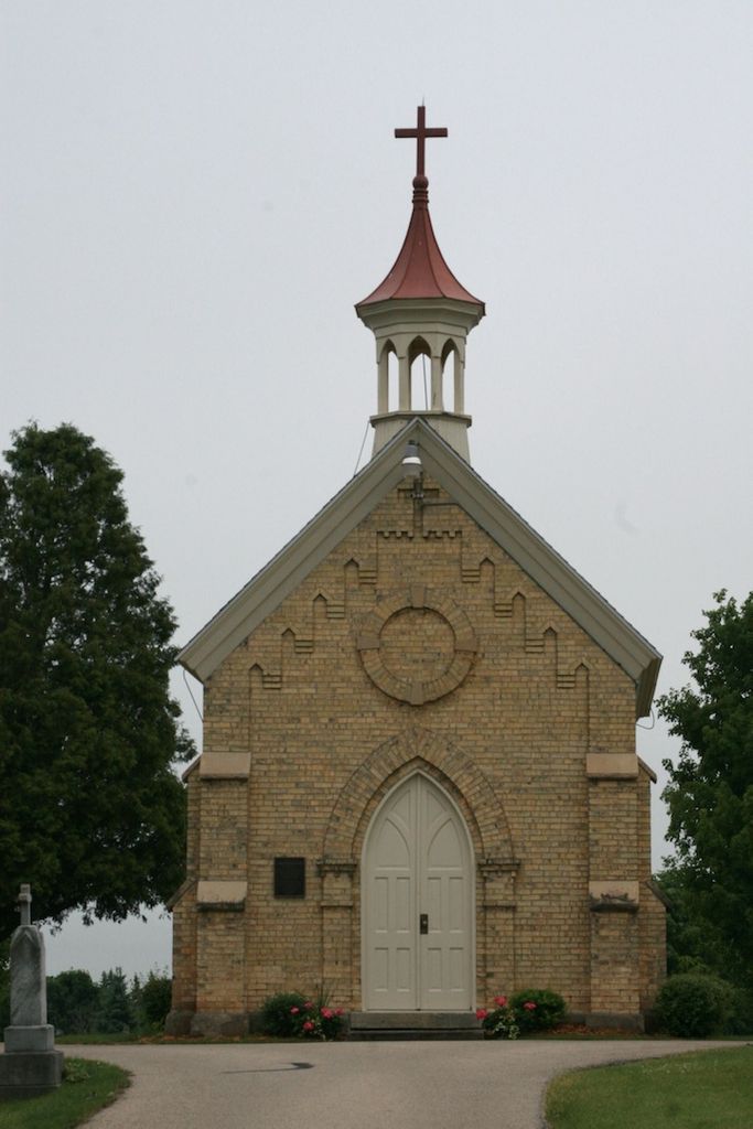
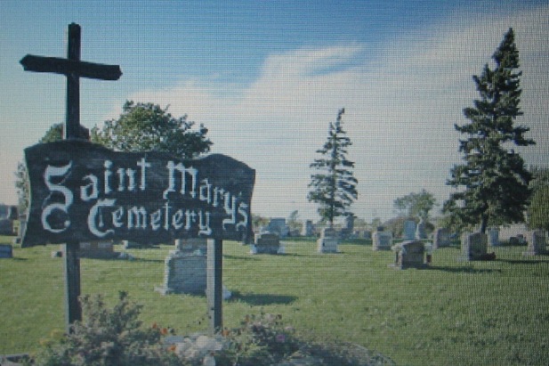
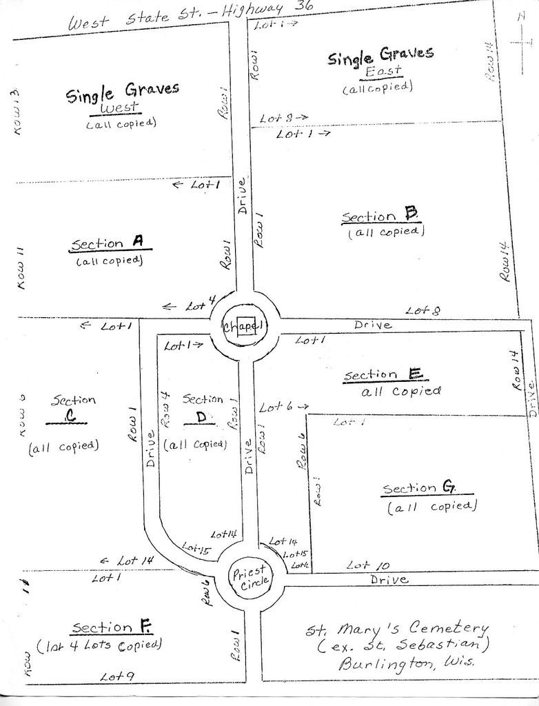
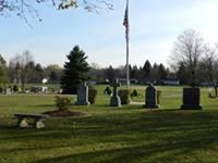
| Description | : | God's Acre Cemetery, also known as Saint Mary's Cemetery, was founded in 1846. It is the parish cemetery of Saint Mary Immaculate Conception Catholic Church, located nearby at 108 McHenry Street. This cemetery should not be confused with Saint Mary's Catholic Cemetery in Dover. |
frequently asked questions (FAQ):
-
Where is Gods Acre Cemetery?
Gods Acre Cemetery is located at 373 West State Street Burlington, Racine County ,Wisconsin , 53105USA.
-
Gods Acre Cemetery cemetery's updated grave count on graveviews.com?
11 memorials
-
Where are the coordinates of the Gods Acre Cemetery?
Latitude: 42.6741982
Longitude: -88.2853012
Nearby Cemetories:
1. Saint John the Divine Episcopal Church Columbarium
Burlington, Racine County, USA
Coordinate: 42.6750700, -88.2750200
2. Saint Charles Cemetery
Burlington, Racine County, USA
Coordinate: 42.6739006, -88.3000031
3. Old Voree Cemetery
Spring Prairie, Walworth County, USA
Coordinate: 42.6767100, -88.3062000
4. Burlington Cemetery
Burlington, Racine County, USA
Coordinate: 42.6831017, -88.2585983
5. Rooker Cemetery
Burlington, Racine County, USA
Coordinate: 42.6974983, -88.2925034
6. Old Burlington Cemetery
Burlington, Racine County, USA
Coordinate: 42.6843500, -88.2522500
7. Frank Williams Cemetery
Spring Prairie, Walworth County, USA
Coordinate: 42.7048600, -88.3218000
8. Diener Cemetery
Spring Prairie, Walworth County, USA
Coordinate: 42.7049490, -88.3219990
9. Mount Hope Cemetery
Spring Prairie, Walworth County, USA
Coordinate: 42.7006400, -88.3356900
10. Hudson Cemetery
Lyons, Walworth County, USA
Coordinate: 42.6577988, -88.3585968
11. Karcher Cemetery
Burlington, Racine County, USA
Coordinate: 42.6215800, -88.2535400
12. Lyons Quaker Cemetery
Lyons, Walworth County, USA
Coordinate: 42.6402300, -88.3577500
13. High Street Cemetery
Wheatland, Kenosha County, USA
Coordinate: 42.6067009, -88.2668991
14. Saint Josephs Catholic Cemetery
Lyons, Walworth County, USA
Coordinate: 42.6371994, -88.3668976
15. Honey Creek Cemetery
Rochester, Racine County, USA
Coordinate: 42.7478300, -88.3059200
16. West Meadows Cemetery
Rochester, Racine County, USA
Coordinate: 42.7203760, -88.2021470
17. Honey Creek Memorial Cemetery
Rochester, Racine County, USA
Coordinate: 42.7494800, -88.3073400
18. Rochester Cemetery
Rochester, Racine County, USA
Coordinate: 42.7444900, -88.2386800
19. Eagle Creek Religious Society Cemetery
Burlington, Racine County, USA
Coordinate: 42.7143500, -88.1936900
20. German Settlement Cemetery
Spring Prairie, Walworth County, USA
Coordinate: 42.7413800, -88.3622200
21. Rosewood Cemetery
Rosewood, Racine County, USA
Coordinate: 42.6840800, -88.1650300
22. Saint Johns Evangelical Lutheran Cemetery
Slades Corners, Kenosha County, USA
Coordinate: 42.5824780, -88.2837510
23. Springfield Union Cemetery
Springfield, Walworth County, USA
Coordinate: 42.6556900, -88.4131900
24. Free Will Baptist Cemetery
Wheatland, Kenosha County, USA
Coordinate: 42.5791670, -88.2619440