
| Memorials | : | 3 |
| Location | : | Rochester, Racine County, USA |
| Coordinate | : | 42.7478300, -88.3059200 |
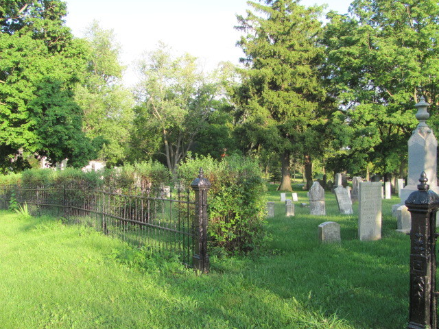
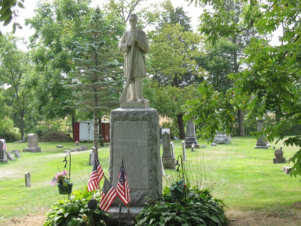
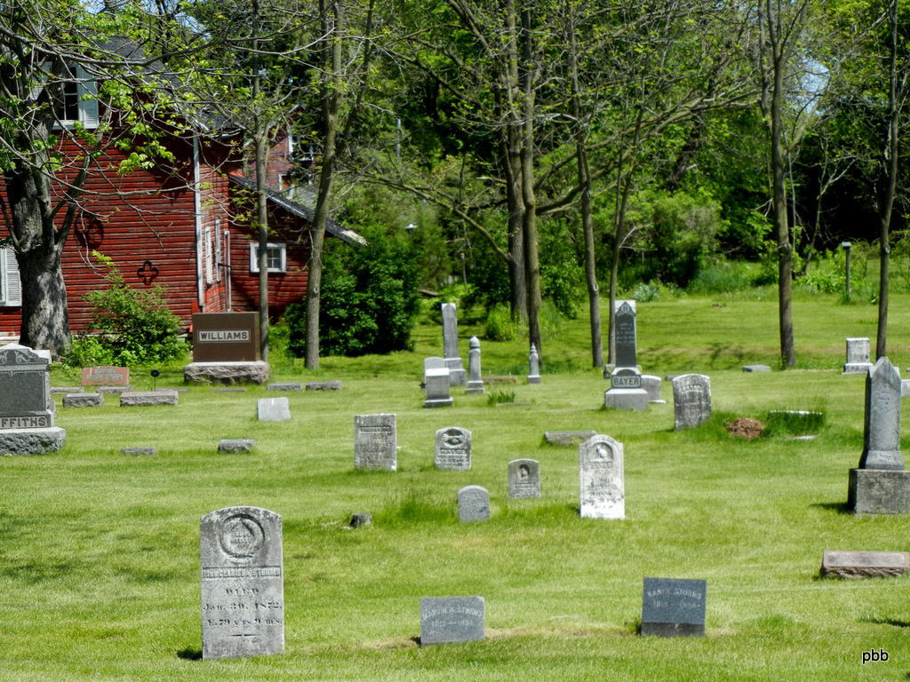
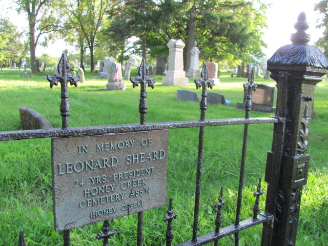
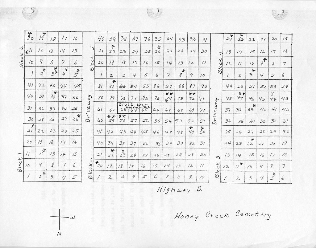
| Description | : | Honey Creek Cemetery is located on Washington Avenue/County Highway D just east of the border between Racine and Walworth Counties. The similarly named Honey Creek Memorial Cemetery is located across the street. |
frequently asked questions (FAQ):
-
Where is Honey Creek Cemetery?
Honey Creek Cemetery is located at Washington Avenue/County Highway D Rochester, Racine County ,Wisconsin , 53105USA.
-
Honey Creek Cemetery cemetery's updated grave count on graveviews.com?
3 memorials
-
Where are the coordinates of the Honey Creek Cemetery?
Latitude: 42.7478300
Longitude: -88.3059200
Nearby Cemetories:
1. Honey Creek Memorial Cemetery
Rochester, Racine County, USA
Coordinate: 42.7494800, -88.3073400
2. German Settlement Cemetery
Spring Prairie, Walworth County, USA
Coordinate: 42.7413800, -88.3622200
3. Diener Cemetery
Spring Prairie, Walworth County, USA
Coordinate: 42.7049490, -88.3219990
4. Frank Williams Cemetery
Spring Prairie, Walworth County, USA
Coordinate: 42.7048600, -88.3218000
5. Rochester Cemetery
Rochester, Racine County, USA
Coordinate: 42.7444900, -88.2386800
6. Rooker Cemetery
Burlington, Racine County, USA
Coordinate: 42.6974983, -88.2925034
7. Mount Hope Cemetery
Spring Prairie, Walworth County, USA
Coordinate: 42.7006400, -88.3356900
8. Oakwood Cemetery
Waterford, Racine County, USA
Coordinate: 42.7806015, -88.2474976
9. Old Village Cemetery
Waterford, Racine County, USA
Coordinate: 42.7654300, -88.2152400
10. Saint Thomas Aquinas Cemetery
Waterford, Racine County, USA
Coordinate: 42.7564300, -88.2101400
11. Old Voree Cemetery
Spring Prairie, Walworth County, USA
Coordinate: 42.6767100, -88.3062000
12. Burlington Cemetery
Burlington, Racine County, USA
Coordinate: 42.6831017, -88.2585983
13. Saint Charles Cemetery
Burlington, Racine County, USA
Coordinate: 42.6739006, -88.3000031
14. Old Burlington Cemetery
Burlington, Racine County, USA
Coordinate: 42.6843500, -88.2522500
15. Gods Acre Cemetery
Burlington, Racine County, USA
Coordinate: 42.6741982, -88.2853012
16. Saint John the Divine Episcopal Church Columbarium
Burlington, Racine County, USA
Coordinate: 42.6750700, -88.2750200
17. Oak Ridge Cemetery
East Troy, Walworth County, USA
Coordinate: 42.7930984, -88.3914032
18. Saint Peters Cemetery
East Troy, Walworth County, USA
Coordinate: 42.7997300, -88.3865000
19. Saint Peters Lutheran Cemetery
Waterford, Racine County, USA
Coordinate: 42.7783012, -88.2043991
20. West Meadows Cemetery
Rochester, Racine County, USA
Coordinate: 42.7203760, -88.2021470
21. Caldwell Cemetery
Caldwell, Racine County, USA
Coordinate: 42.8288100, -88.2769600
22. Eagle Creek Religious Society Cemetery
Burlington, Racine County, USA
Coordinate: 42.7143500, -88.1936900
23. Baptist Memorial Cemetery
East Troy, Walworth County, USA
Coordinate: 42.8349900, -88.3360000
24. Hudson Cemetery
Lyons, Walworth County, USA
Coordinate: 42.6577988, -88.3585968