| Memorials | : | 0 |
| Location | : | Gerton, Henderson County, USA |
| Coordinate | : | 35.4773890, -82.3387500 |
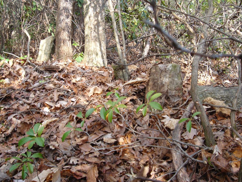
| Description | : | Located on the property of the Florence Nature Preserve of the Carolina Mountain Land Conservancy in the Gerton community. The cemetery is located via hiking trails into the conservancy property. It is approximately 700 feet beyond 392 Kelly Hill Road. There are two graves marked with field stones. |
frequently asked questions (FAQ):
-
Where is East of Gerton?
East of Gerton is located at Gerton, Henderson County ,North Carolina ,USA.
-
East of Gerton cemetery's updated grave count on graveviews.com?
0 memorials
-
Where are the coordinates of the East of Gerton?
Latitude: 35.4773890
Longitude: -82.3387500
Nearby Cemetories:
1. Bearwallow Cemetery
Gerton, Henderson County, USA
Coordinate: 35.4809900, -82.3510300
2. Barnwell Baptist Church Cemetery
Henderson County, USA
Coordinate: 35.4483000, -82.3164700
3. Hill Cemetery
Bat Cave, Henderson County, USA
Coordinate: 35.4608002, -82.2960968
4. Conner Cemetery
Bat Cave, Henderson County, USA
Coordinate: 35.4575005, -82.2981033
5. Barnwell Family Cemetery
Edneyville, Henderson County, USA
Coordinate: 35.4391000, -82.3244640
6. Case Family Cemetery
Edneyville, Henderson County, USA
Coordinate: 35.4324390, -82.3312470
7. Searcy Family Cemetery
Henderson County, USA
Coordinate: 35.4708150, -82.2826950
8. Pleasant Grove Baptist Church Cemetery
Fairview, Buncombe County, USA
Coordinate: 35.5213013, -82.3625031
9. Bat Cave Baptist Church Cemetery
Bat Cave, Henderson County, USA
Coordinate: 35.4503420, -82.2892850
10. Bethany United Methodist Church Cemetery
Fairview, Buncombe County, USA
Coordinate: 35.4900017, -82.3990021
11. Edney Family Cemetery
Bat Cave, Henderson County, USA
Coordinate: 35.4403960, -82.2958910
12. Liberty Baptist Church Cemetery
Henderson County, USA
Coordinate: 35.4266700, -82.3563300
13. Old Broad River Cemetery
Black Mountain, Buncombe County, USA
Coordinate: 35.4894400, -82.2733280
14. Episcopal Church of the Transfiguration Cemetery
Bat Cave, Henderson County, USA
Coordinate: 35.4501200, -82.2800600
15. Laurel Springs Baptist Church Cemetery
Fairview, Buncombe County, USA
Coordinate: 35.5235600, -82.3001100
16. Ledbetter Family Cemetery
Black Mountain, Buncombe County, USA
Coordinate: 35.4992500, -82.2713700
17. Drake Cemetery
Fruitland, Henderson County, USA
Coordinate: 35.4301390, -82.3851940
18. Broad River Baptist Church Cemetery
Black Mountain, Buncombe County, USA
Coordinate: 35.5008300, -82.2689800
19. Bald Mountain Baptist Church Cemetery
Buncombe County, USA
Coordinate: 35.4703690, -82.2637050
20. Saint Paul Cemetery
Edneyville, Henderson County, USA
Coordinate: 35.4133210, -82.3366600
21. Rhodes-Lyda Family Cemetery
Edneyville, Henderson County, USA
Coordinate: 35.4135900, -82.3491700
22. Nesbitt Chapel Cemetery
Fairview, Buncombe County, USA
Coordinate: 35.5368004, -82.3066025
23. Cane Creek Cemetery
Fairview, Buncombe County, USA
Coordinate: 35.5219002, -82.4011002
24. Spring Mountain Baptist Church Cemetery
Fairview, Buncombe County, USA
Coordinate: 35.5446014, -82.3529968

