
| Memorials | : | 2 |
| Location | : | Buncombe County, USA |
| Coordinate | : | 35.4703690, -82.2637050 |
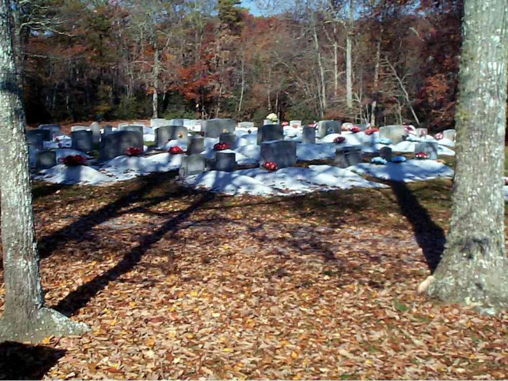
| Description | : | Travel south on NC #9 approx. 15 miles to Shumont Road (SR 2801). Make left turn onto Shumont Road and follow it up the mountain until you come to Bald Mountain Church Road on the right. Follow Bald Mountain Church Road to and past the church. The cemetery is at the end of Bald Mountain Church Road and the cemetery cannot be seen from the church. It is several hundred yards beyond the church. Parking is adequate and easy access to the cemetery. |
frequently asked questions (FAQ):
-
Where is Bald Mountain Baptist Church Cemetery?
Bald Mountain Baptist Church Cemetery is located at Buncombe County ,North Carolina , 28711USA.
-
Bald Mountain Baptist Church Cemetery cemetery's updated grave count on graveviews.com?
1 memorials
-
Where are the coordinates of the Bald Mountain Baptist Church Cemetery?
Latitude: 35.4703690
Longitude: -82.2637050

Nearby Cemetories:
1. Searcy Family Cemetery
Henderson County, USA
Coordinate: 35.4708150, -82.2826950
2. Old Broad River Cemetery
Black Mountain, Buncombe County, USA
Coordinate: 35.4894400, -82.2733280
3. Episcopal Church of the Transfiguration Cemetery
Bat Cave, Henderson County, USA
Coordinate: 35.4501200, -82.2800600
4. Hill Cemetery
Bat Cave, Henderson County, USA
Coordinate: 35.4608002, -82.2960968
5. Bat Cave Baptist Church Cemetery
Bat Cave, Henderson County, USA
Coordinate: 35.4503420, -82.2892850
6. Ledbetter Family Cemetery
Black Mountain, Buncombe County, USA
Coordinate: 35.4992500, -82.2713700
7. Broad River Baptist Church Cemetery
Black Mountain, Buncombe County, USA
Coordinate: 35.5008300, -82.2689800
8. Conner Cemetery
Bat Cave, Henderson County, USA
Coordinate: 35.4575005, -82.2981033
9. Edney Family Cemetery
Bat Cave, Henderson County, USA
Coordinate: 35.4403960, -82.2958910
10. Ledbetter-Gilliam Family Cemetery
Buncombe County, USA
Coordinate: 35.5107630, -82.2584800
11. Gilliam Family Cemetery
Buncombe County, USA
Coordinate: 35.5114040, -82.2655770
12. Chimney Rock Baptist Church Cemetery
Lake Lure, Rutherford County, USA
Coordinate: 35.4382380, -82.2301020
13. Red Top Cemetery
Buncombe County, USA
Coordinate: 35.5043000, -82.2269000
14. Barnwell Baptist Church Cemetery
Henderson County, USA
Coordinate: 35.4483000, -82.3164700
15. Barnwell Family Cemetery
Edneyville, Henderson County, USA
Coordinate: 35.4391000, -82.3244640
16. Buffalo Cemetery
Lake Lure, Rutherford County, USA
Coordinate: 35.4611250, -82.1910620
17. Stroud Family Cemetery
Black Mountain, Buncombe County, USA
Coordinate: 35.5297330, -82.2538600
18. Laurel Springs Baptist Church Cemetery
Fairview, Buncombe County, USA
Coordinate: 35.5235600, -82.3001100
19. East of Gerton
Gerton, Henderson County, USA
Coordinate: 35.4773890, -82.3387500
20. Fairfield Mountains Chapel Columbarium
Lake Lure, Rutherford County, USA
Coordinate: 35.4612430, -82.1878700
21. Weaver Cemetery
Lake Lure, Rutherford County, USA
Coordinate: 35.4294587, -82.2047271
22. Collins Cemetery
Edneyville, Henderson County, USA
Coordinate: 35.4082280, -82.2849970
23. Case Family Cemetery
Edneyville, Henderson County, USA
Coordinate: 35.4324390, -82.3312470
24. Stone Mountain Missionary Baptist Church Cemetery
Black Mountain, Buncombe County, USA
Coordinate: 35.5333400, -82.2301900