| Memorials | : | 0 |
| Location | : | Bluffton, Clay County, USA |
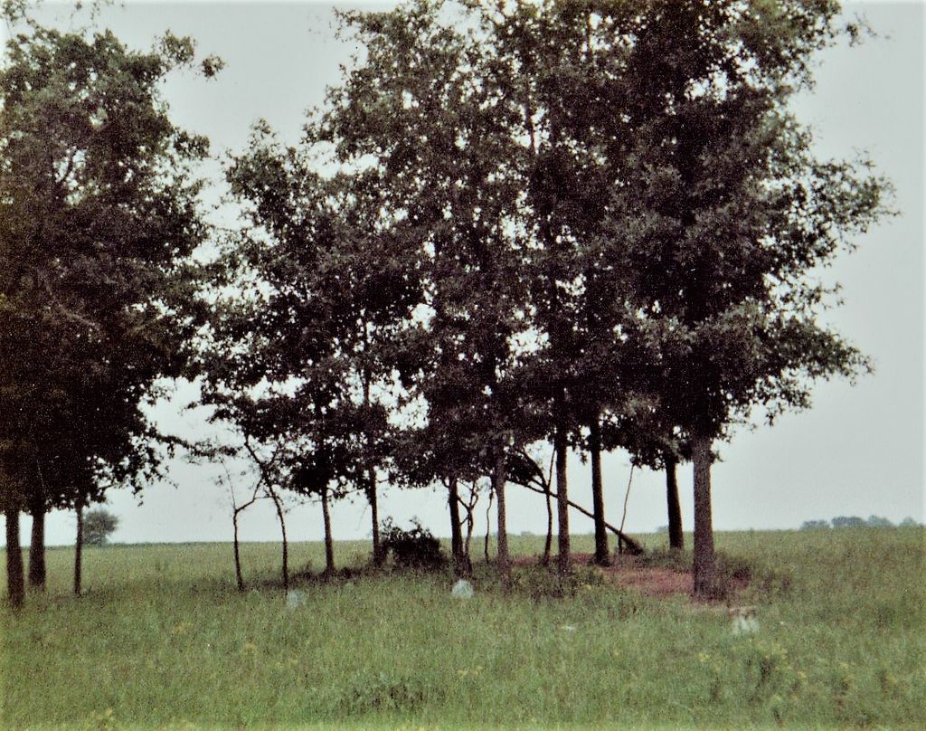
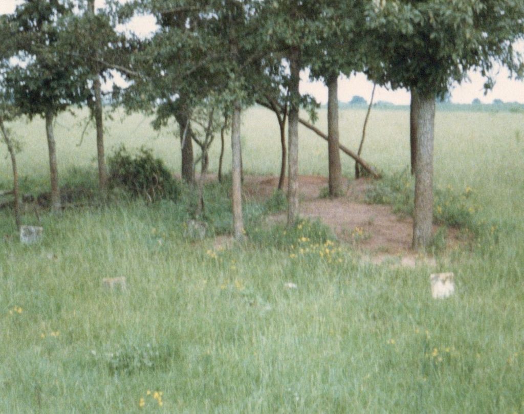
| Description | : | Elias Lee family moved to Early Co, GA from Washington Co, GA about 1830. He purchased 250 acres, Land lot #86, 5th dist 16th Sept 1830 and the adjacent 250 acre Land lot #87, 5th dist Early Co GA on 25 Feb 1836. Elias Lee died in 1842 and is the first person known to be buried in this cemetery, followed by wife Judith Westbrook Lee in 1843. Land lot #86 was willed to youngest son William W Lee and #87 to oldest son James S Lee. In 1854 the land became part of newly created... Read More |
frequently asked questions (FAQ):
-
Where is Elias Lee Family Cemetery?
Elias Lee Family Cemetery is located at Bluffton, Clay County, USA.
-
Elias Lee Family Cemetery cemetery's updated grave count on graveviews.com?
0 memorials
Nearby Cemetories:
1. Bethel Church Cemetery #2
Clay County, USA
Coordinate: 31.6035995, -84.9730988
2. Bluffton Cemetery
Bluffton, Clay County, USA
Coordinate: 31.6403008, -84.9882965
3. Coates Cemetery
Bluffton, Clay County, USA
Coordinate: 31.5935993, -84.9313965
4. Friendship Baptist Church Cemetery
Bluffton, Clay County, USA
Coordinate: 31.7553730, -85.0485560
5. Todd Cemetery
Bluffton, Clay County, USA
Coordinate: 31.7786007, -85.1035995
6. Union AME Church Cemetery
Bluffton, Clay County, USA
Coordinate: 31.6583004, -84.9682999
7. Vincent Cemetery
Bluffton, Clay County, USA
Coordinate: 31.5192432, -84.8542328
8. Mount Zion Cemetery
Clay County, USA
Coordinate: 31.5293999, -84.9308014
9. New Lowell Cemetery
Clay County, USA
Coordinate: 31.6557999, -85.0242004
10. Shiloh Cemetery
Clay County, USA
11. Ebenezer AME Church Cemetery
Zetto, Clay County, USA
Coordinate: 31.6777992, -85.0083008
12. Judson Cemetery
Clay County, USA
Coordinate: 31.5030994, -85.0261002
13. Mount Vernon Cemetery
Clay County, USA
Coordinate: 31.6035995, -84.9730988
14. Pecan Cemetery
Clay County, USA
Coordinate: 31.6403008, -84.9882965
15. Wesley Cemetery
Clay County, USA
Coordinate: 31.5935993, -84.9313965
16. Mount Zion Church Cemetery #2
Days Crossroads, Clay County, USA
Coordinate: 31.7553730, -85.0485560
17. Saint James Cemetery
Clay County, USA
Coordinate: 31.7786007, -85.1035995
18. Singletary Cemetery
Clay County, USA
Coordinate: 31.6583004, -84.9682999
19. Blocker Family Cemetery
Clay County, USA
Coordinate: 31.5192432, -84.8542328
20. Bryant-Neves Cemetery
Clay County, USA
Coordinate: 31.5293999, -84.9308014
21. Campground Cemetery
Clay County, USA
Coordinate: 31.6557999, -85.0242004
22. Esau Davis Gravesite
Clay County, USA
23. Mount Gilead Cemetery
Clay County, USA
Coordinate: 31.6777992, -85.0083008
24. New Bethel Cemetery
Clay County, USA
Coordinate: 31.5030994, -85.0261002


