
| Memorials | : | 58 |
| Location | : | Moundridge, McPherson County, USA |
| Coordinate | : | 38.2105180, -97.5858040 |
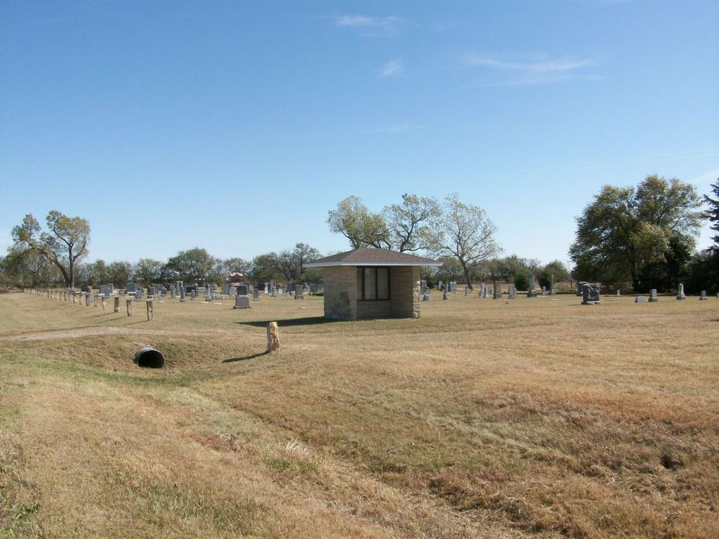
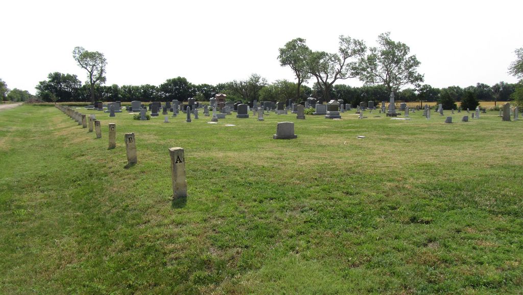
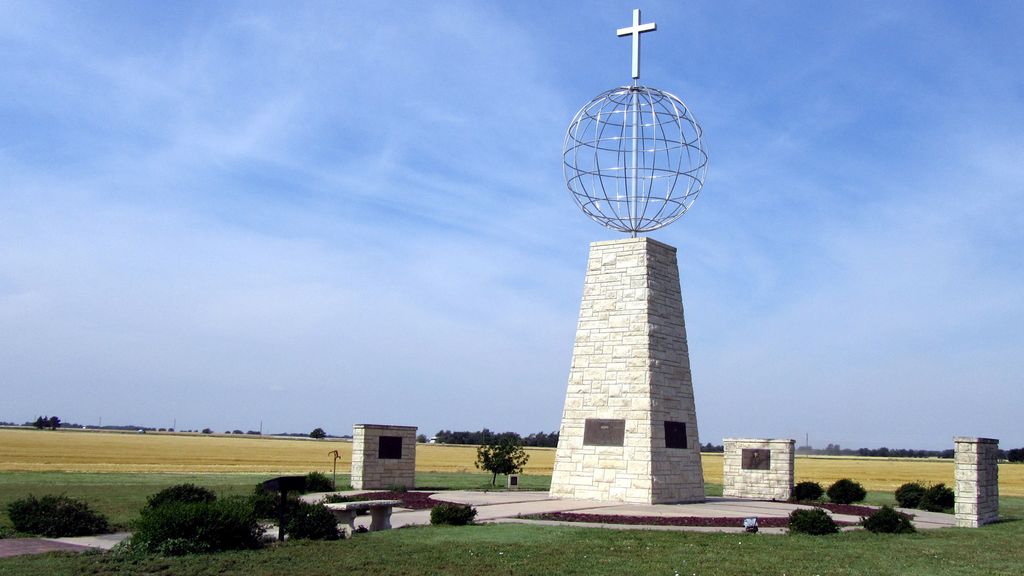
| Description | : | Located next to the Hopefield Mennonite Church, 4 mi. W., 1/2 mi. N., 1/2 mi.E. of Moundridge, Kansas. Also know as Hofnungsfeld Cemetery. Maintained by the The Swiss Mennonite Cultural and Historical Association - SMCHA. The Hoffnungsfeld Cemetery located west of Moundridge, KS near the site of the Hopefield Church, is the historical burial place for the Swiss Volhynian Mennonites and others who migrated to the area in 1874 and later. It is located on a tract in the NE corner of the SW quarter of section 19 in township 21 of McPherson County. The cemetery was the only Mennonite cemetery west... Read More |
frequently asked questions (FAQ):
-
Where is Hopefield Church Cemetery?
Hopefield Church Cemetery is located at Moundridge, McPherson County ,Kansas ,USA.
-
Hopefield Church Cemetery cemetery's updated grave count on graveviews.com?
57 memorials
-
Where are the coordinates of the Hopefield Church Cemetery?
Latitude: 38.2105180
Longitude: -97.5858040

Nearby Cemetories:
1. Eden Mennonite Church Cemetery
Moundridge, McPherson County, USA
Coordinate: 38.2329890, -97.5940630
2. Mound Township Cemetery
Moundridge, McPherson County, USA
Coordinate: 38.2028008, -97.5378036
3. West Zion Cemetery
Moundridge, McPherson County, USA
Coordinate: 38.2028008, -97.5372009
4. Schlender Cemetery
Harvey County, USA
Coordinate: 38.1669006, -97.5374985
5. Lohrentz Cemetery
Harvey County, USA
Coordinate: 38.1518374, -97.5843430
6. First Mennonite Cemetery
Moundridge, McPherson County, USA
Coordinate: 38.1885090, -97.5094070
7. Hoffnungsau Mennonite Church Cemetery
Inman, McPherson County, USA
Coordinate: 38.1807370, -97.6830270
8. Emmanuel Bible Church Cemetery
Moundridge, McPherson County, USA
Coordinate: 38.2868200, -97.5264200
9. Lone Tree Cemetery
Moundridge, McPherson County, USA
Coordinate: 38.2846985, -97.5002975
10. Garden Community Church Cemetery
Halstead, Harvey County, USA
Coordinate: 38.1225900, -97.5188600
11. Hebron Cemetery
Burrton, Harvey County, USA
Coordinate: 38.1432991, -97.6883011
12. Garden Valley Cemetery
Harvey County, USA
Coordinate: 38.1232147, -97.4998856
13. Farnsworth-Cook Cemetery
Halstead, Harvey County, USA
Coordinate: 38.1233600, -97.4992200
14. Schroeder Family Cemetery
Buhler, Reno County, USA
Coordinate: 38.1664700, -97.7211600
15. Buhler East Cemetery
Reno County, USA
Coordinate: 38.1453018, -97.7071991
16. Freedom Baptist Church Cemetery
McPherson County, USA
Coordinate: 38.2027400, -97.4362500
17. Immanuel Lutheran Church Cemetery
Canton, McPherson County, USA
Coordinate: 38.2755330, -97.4473030
18. Little River Township Cemetery
Buhler, Reno County, USA
Coordinate: 38.1369019, -97.7205963
19. Martens Family Cemetery
Buhler, Reno County, USA
Coordinate: 38.1472400, -97.7292700
20. Hesston Cemetery
Hesston, Harvey County, USA
Coordinate: 38.1448900, -97.4402400
21. German Evangelical Lutheran Cemetery
Meridian Township, McPherson County, USA
Coordinate: 38.2567150, -97.4267420
22. Garden View Mennonite Church Cemetery
Hesston, Harvey County, USA
Coordinate: 38.0874400, -97.5128900
23. Whitestone Mennonite Church Columbarium
Hesston, Harvey County, USA
Coordinate: 38.1458950, -97.4297920
24. Empire Cemetery
Galva, McPherson County, USA
Coordinate: 38.3403015, -97.5192032