
| Memorials | : | 0 |
| Location | : | Engelen, 's-Hertogenbosch Municipality, Netherlands |
| Coordinate | : | 51.7157900, 5.2753500 |
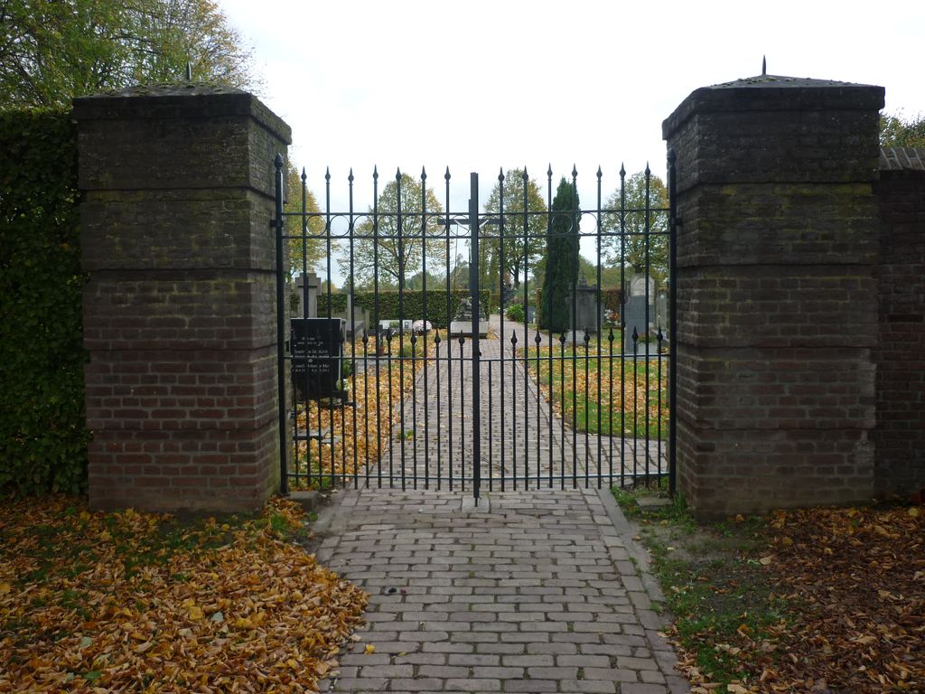
| Description | : | Engelen, a small village 3 kilometres north of 'S-Hertogenbosch, is about 2 kilometres west of the main road from that town to Zaltbommel. The cemetery is on the southern outskirts of the village, on the west bank of the canal. |
frequently asked questions (FAQ):
-
Where is Engelen General Cemetery?
Engelen General Cemetery is located at Engelen, 's-Hertogenbosch Municipality ,Noord-Brabant ,Netherlands.
-
Engelen General Cemetery cemetery's updated grave count on graveviews.com?
0 memorials
-
Where are the coordinates of the Engelen General Cemetery?
Latitude: 51.7157900
Longitude: 5.2753500
Nearby Cemetories:
1. Begraafplaats Orthen
Orthen, 's-Hertogenbosch Municipality, Netherlands
Coordinate: 51.7032070, 5.3076970
2. Oud-Empel Roman Catholic Churchyard
Oud-Empel, 's-Hertogenbosch Municipality, Netherlands
Coordinate: 51.7362500, 5.3046800
3. Vlijmen Roman Catholic Churchyard
Vlijmen, Heusden Municipality, Netherlands
Coordinate: 51.6969200, 5.2231100
4. Haarsteeg Roman Catholic Cemetery
Haarsteeg, Heusden Municipality, Netherlands
Coordinate: 51.7107300, 5.1983600
5. Vught O-L-V Middelares Roman Catholic Cemetery
Vught, Vught Municipality, Netherlands
Coordinate: 51.6656300, 5.2919800
6. Kerkhof St Lambertus
Rosmalen, 's-Hertogenbosch Municipality, Netherlands
Coordinate: 51.7184878, 5.3635487
7. Nieuwkuijk Algemene Begraafplaats Onsenoort
Nieuwkuijk, Heusden Municipality, Netherlands
Coordinate: 51.6974300, 5.1895300
8. Veld-Driel Roman Catholic Churchyard
Velddriel, Maasdriel Municipality, Netherlands
Coordinate: 51.7698800, 5.3047100
9. Cromvoirt Sint-Lambertus Roman Catholic Cemetery
Cromvoirt, Vught Municipality, Netherlands
Coordinate: 51.6615300, 5.2309800
10. Israëlitische begraafplaats
Vught, Vught Municipality, Netherlands
Coordinate: 51.6549100, 5.2793800
11. Vught General Cemetery
Vught, Vught Municipality, Netherlands
Coordinate: 51.6539100, 5.2940900
12. Begraafplaats Bruchem
Bruchem, Zaltbommel Municipality, Netherlands
Coordinate: 51.7833840, 5.2255020
13. Heusden Buytenhove Algemene Begraafplaats
Heusden, Heusden Municipality, Netherlands
Coordinate: 51.7323600, 5.1485200
14. Sint-Nicolaaskerk
Helvoirt, Haaren Municipality, Netherlands
Coordinate: 51.6342300, 5.2295500
15. Elshout Roman Catholic Churchyard
Elshout, Heusden Municipality, Netherlands
Coordinate: 51.7004700, 5.1364900
16. Sint-Michielsgestel Catholic & Protestant Cemetery
Sint-Michielsgestel, Sint-Michielsgestel Municipality, Netherlands
Coordinate: 51.6425300, 5.3527600
17. Heusden Oudheusden Protestant Cemetery
Heusden, Heusden Municipality, Netherlands
Coordinate: 51.7279100, 5.1348900
18. Joodse Begraafplaats
Heesbeen, Heusden Municipality, Netherlands
Coordinate: 51.7358060, 5.1302780
19. Begraafplaats Sint Jozefsoord
Nuland, 's-Hertogenbosch Municipality, Netherlands
Coordinate: 51.7216886, 5.4246841
20. Joodse Begraafplaats Maarten van Rossumsingel
Zaltbommel Municipality, Netherlands
Coordinate: 51.8084430, 5.2469290
21. Algemene Begraafplaats
Rossum, Maasdriel Municipality, Netherlands
Coordinate: 51.8053361, 5.3233691
22. Drunen Roman Catholic Cemetery
Drunen, Heusden Municipality, Netherlands
Coordinate: 51.6885800, 5.1295700
23. Joodse Begraafplaats Bossche Poort
Zaltbommel Municipality, Netherlands
Coordinate: 51.8104310, 5.2514020
24. Zaltbommel General Cemetery
Zaltbommel, Zaltbommel Municipality, Netherlands
Coordinate: 51.8105900, 5.2509500