
| Memorials | : | 0 |
| Location | : | Oud-Empel, 's-Hertogenbosch Municipality, Netherlands |
| Coordinate | : | 51.7362500, 5.3046800 |
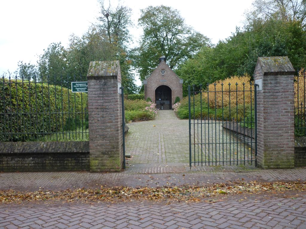
| Description | : | Empel and Meerwijk are adjoining villages under one administration. Empel is 6 kilometres north of 'S-Hertogenbosch on the south side of the River Maas. The church, which stood in the centre of the village, was completely destroyed during the 1939-1945 war, and the churchyard is in the old section of the village, 1.75 miles to the north-west of the new. |
frequently asked questions (FAQ):
-
Where is Oud-Empel Roman Catholic Churchyard?
Oud-Empel Roman Catholic Churchyard is located at Oud-Empel, 's-Hertogenbosch Municipality ,Noord-Brabant ,Netherlands.
-
Oud-Empel Roman Catholic Churchyard cemetery's updated grave count on graveviews.com?
0 memorials
-
Where are the coordinates of the Oud-Empel Roman Catholic Churchyard?
Latitude: 51.7362500
Longitude: 5.3046800
Nearby Cemetories:
1. Engelen General Cemetery
Engelen, 's-Hertogenbosch Municipality, Netherlands
Coordinate: 51.7157900, 5.2753500
2. Begraafplaats Orthen
Orthen, 's-Hertogenbosch Municipality, Netherlands
Coordinate: 51.7032070, 5.3076970
3. Veld-Driel Roman Catholic Churchyard
Velddriel, Maasdriel Municipality, Netherlands
Coordinate: 51.7698800, 5.3047100
4. Kerkhof St Lambertus
Rosmalen, 's-Hertogenbosch Municipality, Netherlands
Coordinate: 51.7184878, 5.3635487
5. Vlijmen Roman Catholic Churchyard
Vlijmen, Heusden Municipality, Netherlands
Coordinate: 51.6969200, 5.2231100
6. Begraafplaats Bruchem
Bruchem, Zaltbommel Municipality, Netherlands
Coordinate: 51.7833840, 5.2255020
7. Algemene Begraafplaats
Rossum, Maasdriel Municipality, Netherlands
Coordinate: 51.8053361, 5.3233691
8. Haarsteeg Roman Catholic Cemetery
Haarsteeg, Heusden Municipality, Netherlands
Coordinate: 51.7107300, 5.1983600
9. Vught O-L-V Middelares Roman Catholic Cemetery
Vught, Vught Municipality, Netherlands
Coordinate: 51.6656300, 5.2919800
10. Begraafplaats Sint Jozefsoord
Nuland, 's-Hertogenbosch Municipality, Netherlands
Coordinate: 51.7216886, 5.4246841
11. Begraafplaats Sint Jans Onthoofding Kerk
Nuland, 's-Hertogenbosch Municipality, Netherlands
Coordinate: 51.7311755, 5.4331474
12. Joodse Begraafplaats Maarten van Rossumsingel
Zaltbommel Municipality, Netherlands
Coordinate: 51.8084430, 5.2469290
13. Joodse Begraafplaats Bossche Poort
Zaltbommel Municipality, Netherlands
Coordinate: 51.8104310, 5.2514020
14. Nieuwkuijk Algemene Begraafplaats Onsenoort
Nieuwkuijk, Heusden Municipality, Netherlands
Coordinate: 51.6974300, 5.1895300
15. Zaltbommel General Cemetery
Zaltbommel, Zaltbommel Municipality, Netherlands
Coordinate: 51.8105900, 5.2509500
16. Vught General Cemetery
Vught, Vught Municipality, Netherlands
Coordinate: 51.6539100, 5.2940900
17. Israëlitische begraafplaats
Vught, Vught Municipality, Netherlands
Coordinate: 51.6549100, 5.2793800
18. Cromvoirt Sint-Lambertus Roman Catholic Cemetery
Cromvoirt, Vught Municipality, Netherlands
Coordinate: 51.6615300, 5.2309800
19. Opijnen Protestant Churchyard
Opijnen, Neerijnen Municipality, Netherlands
Coordinate: 51.8280200, 5.3003800
20. Heusden Buytenhove Algemene Begraafplaats
Heusden, Heusden Municipality, Netherlands
Coordinate: 51.7323600, 5.1485200
21. Sint-Michielsgestel Catholic & Protestant Cemetery
Sint-Michielsgestel, Sint-Michielsgestel Municipality, Netherlands
Coordinate: 51.6425300, 5.3527600
22. Algemene Begraafplaats Haaften
Haaften, Neerijnen Municipality, Netherlands
Coordinate: 51.8186100, 5.2134100
23. Algemene Begraafplaats Waardenburg
Waardenburg, Neerijnen Municipality, Netherlands
Coordinate: 51.8359820, 5.2699709
24. R.K. Begraafplaats
Vinkel, 's-Hertogenbosch Municipality, Netherlands
Coordinate: 51.7046305, 5.4636537