
| Memorials | : | 0 |
| Location | : | Vught, Vught Municipality, Netherlands |
| Coordinate | : | 51.6539100, 5.2940900 |
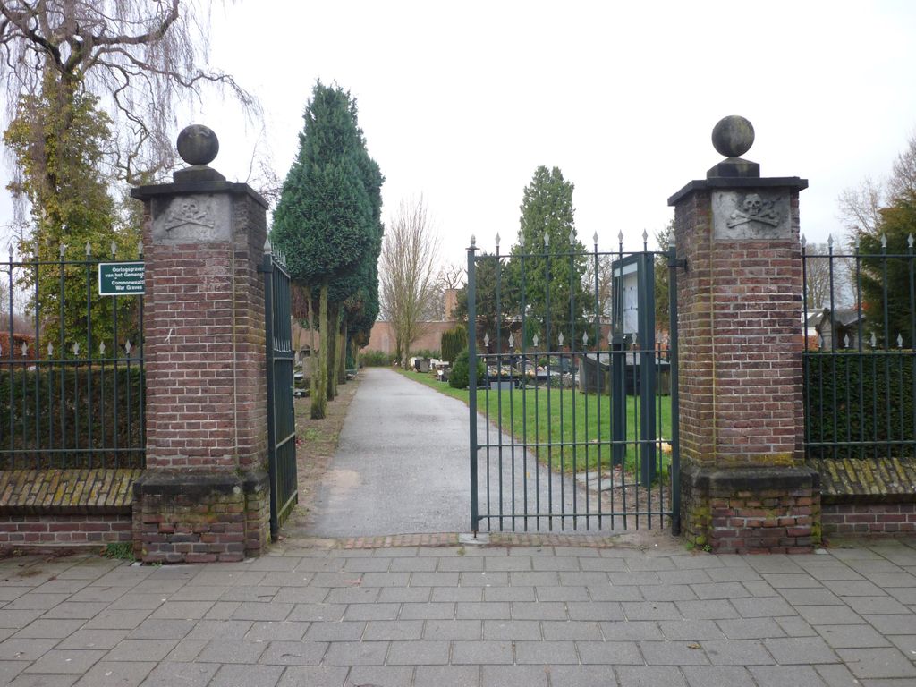
| Description | : | Vught is a small town 3 kilometres south of 'S-Hertogenbosch. The cemetery is in St. Elizabeth-straat, and is about 400 metres south-west of the church in the centre of the town. |
frequently asked questions (FAQ):
-
Where is Vught General Cemetery?
Vught General Cemetery is located at Vught, Vught Municipality ,Noord-Brabant ,Netherlands.
-
Vught General Cemetery cemetery's updated grave count on graveviews.com?
0 memorials
-
Where are the coordinates of the Vught General Cemetery?
Latitude: 51.6539100
Longitude: 5.2940900
Nearby Cemetories:
1. Israëlitische begraafplaats
Vught, Vught Municipality, Netherlands
Coordinate: 51.6549100, 5.2793800
2. Vught O-L-V Middelares Roman Catholic Cemetery
Vught, Vught Municipality, Netherlands
Coordinate: 51.6656300, 5.2919800
3. Sint-Michielsgestel Catholic & Protestant Cemetery
Sint-Michielsgestel, Sint-Michielsgestel Municipality, Netherlands
Coordinate: 51.6425300, 5.3527600
4. Cromvoirt Sint-Lambertus Roman Catholic Cemetery
Cromvoirt, Vught Municipality, Netherlands
Coordinate: 51.6615300, 5.2309800
5. Sint-Nicolaaskerk
Helvoirt, Haaren Municipality, Netherlands
Coordinate: 51.6342300, 5.2295500
6. Begraafplaats Orthen
Orthen, 's-Hertogenbosch Municipality, Netherlands
Coordinate: 51.7032070, 5.3076970
7. Vlijmen Roman Catholic Churchyard
Vlijmen, Heusden Municipality, Netherlands
Coordinate: 51.6969200, 5.2231100
8. Engelen General Cemetery
Engelen, 's-Hertogenbosch Municipality, Netherlands
Coordinate: 51.7157900, 5.2753500
9. Boxtel Roman Catholic Church Cemetery
Boxtel, Boxtel Municipality, Netherlands
Coordinate: 51.5896100, 5.3164800
10. Biezenmortel Roman Catholic Cemetery
Biezenmortel, Haaren Municipality, Netherlands
Coordinate: 51.6241100, 5.1786400
11. Kerkhof St Lambertus
Rosmalen, 's-Hertogenbosch Municipality, Netherlands
Coordinate: 51.7184878, 5.3635487
12. Nieuwkuijk Algemene Begraafplaats Onsenoort
Nieuwkuijk, Heusden Municipality, Netherlands
Coordinate: 51.6974300, 5.1895300
13. Haarsteeg Roman Catholic Cemetery
Haarsteeg, Heusden Municipality, Netherlands
Coordinate: 51.7107300, 5.1983600
14. Oud-Empel Roman Catholic Churchyard
Oud-Empel, 's-Hertogenbosch Municipality, Netherlands
Coordinate: 51.7362500, 5.3046800
15. Oisterwijk Protestant Churchyard
Oisterwijk, Oisterwijk Municipality, Netherlands
Coordinate: 51.5796900, 5.1874600
16. St. Peter Roman Catholic Churchyard
Oisterwijk, Oisterwijk Municipality, Netherlands
Coordinate: 51.5780500, 5.1841500
17. Udenhout Roman Catholic Churchyard
Udenhout, Tilburg Municipality, Netherlands
Coordinate: 51.6106700, 5.1412200
18. Begraafplaats Sint Jozefsoord
Nuland, 's-Hertogenbosch Municipality, Netherlands
Coordinate: 51.7216886, 5.4246841
19. Drunen Roman Catholic Cemetery
Drunen, Heusden Municipality, Netherlands
Coordinate: 51.6885800, 5.1295700
20. Joodse Begraafplaats
Schijndel Municipality, Netherlands
Coordinate: 51.6110200, 5.4535900
21. Elshout Roman Catholic Churchyard
Elshout, Heusden Municipality, Netherlands
Coordinate: 51.7004700, 5.1364900
22. Joodse Begraafplaats
Oisterwijk, Oisterwijk Municipality, Netherlands
Coordinate: 51.5659700, 5.1857700
23. Wijbosch Zusters van Liefde Schijndel
Wijbosch, Schijndel Municipality, Netherlands
Coordinate: 51.6167377, 5.4654452
24. Berkel Roman Catholic Cemetery
Berkel-Enschot, Tilburg Municipality, Netherlands
Coordinate: 51.5889200, 5.1430100