
| Memorials | : | 19 |
| Location | : | Lewisville, Monroe County, USA |
| Coordinate | : | 39.7625723, -81.2184446 |
frequently asked questions (FAQ):
-
Where is Evangelical Reformed Church Cemetery?
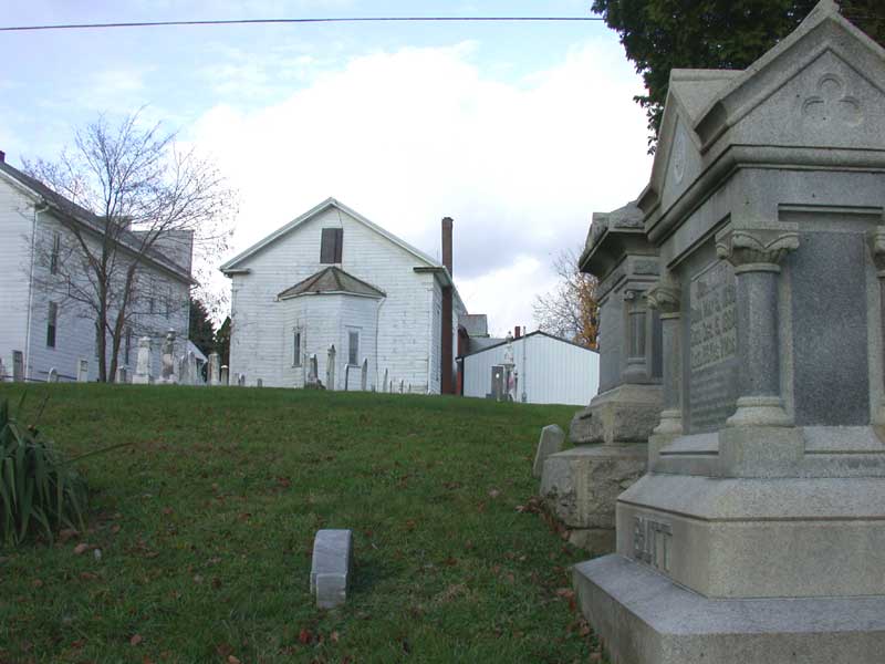
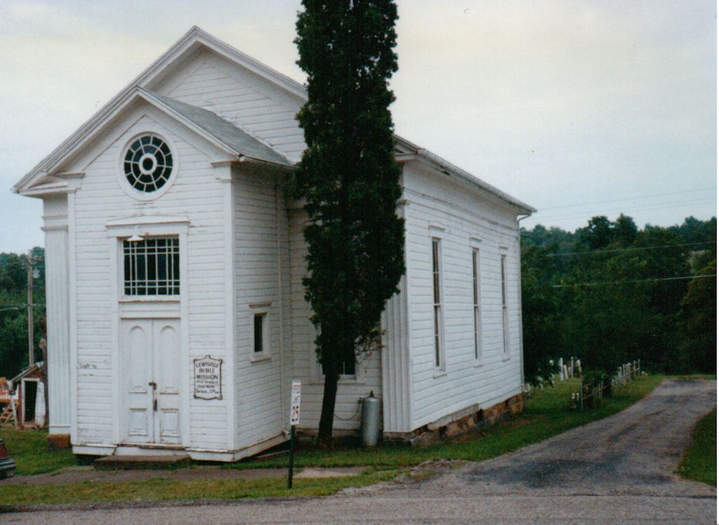
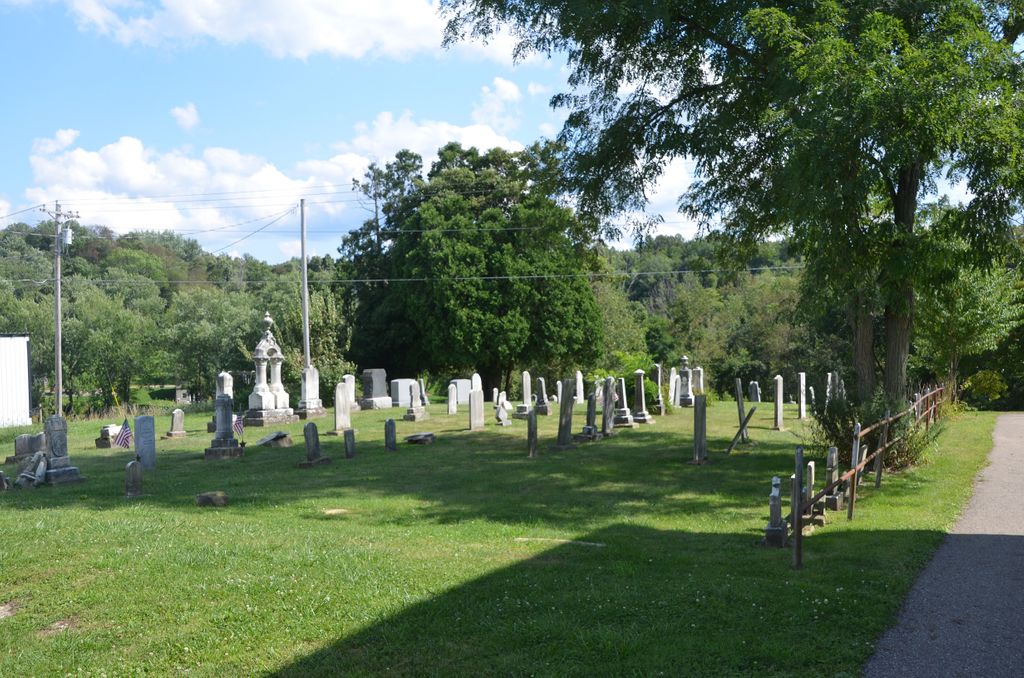
Evangelical Reformed Church Cemetery is located at Lewisville, Monroe County ,Ohio ,USA.
-
Evangelical Reformed Church Cemetery cemetery's updated grave count on graveviews.com?
19 memorials
-
Where are the coordinates of the Evangelical Reformed Church Cemetery?
Latitude: 39.7625723
Longitude: -81.2184446
Nearby Cemetories:
1. Lewisville German Lutheran Cemetery
Monroe County, USA
Coordinate: 39.7625700, -81.2184400
2. Friendship Cemetery
Lewisville, Monroe County, USA
Coordinate: 39.7592010, -81.2221985
3. Hamilton Cemetery
Monroe County, USA
Coordinate: 39.7810360, -81.2445330
4. Wise Cemetery
Lewisville, Monroe County, USA
Coordinate: 39.7754620, -81.2504200
5. Buchanan Presbyterian Church Cemetery
Summit Township, Monroe County, USA
Coordinate: 39.7678490, -81.1798325
6. Bracken Ridge Church Cemetery
Summit Township, Monroe County, USA
Coordinate: 39.7747960, -81.2629620
7. Saint Johns Cemetery
Summit Township, Monroe County, USA
Coordinate: 39.8020164, -81.2159442
8. Potts Cemetery
Monroe County, USA
Coordinate: 39.7588997, -81.1652985
9. Barber Ridge Cemetery
Wayne Township, Monroe County, USA
Coordinate: 39.7313995, -81.1819000
10. Saint Josephs Roman Catholic Church Cemetery
Summit Township, Monroe County, USA
Coordinate: 39.7882750, -81.2620940
11. Mount Zion Methodist Cemetery
Lewisville, Monroe County, USA
Coordinate: 39.7238390, -81.2483750
12. German Cemetery
Monroe County, USA
Coordinate: 39.8100014, -81.2125015
13. Sutherland Methodist Cemetery
Stafford, Monroe County, USA
Coordinate: 39.7281281, -81.2692804
14. Moose Ridge Cemetery
Monroe County, USA
Coordinate: 39.7430992, -81.1544037
15. Swazey Methodist Cemetery
Monroe County, USA
Coordinate: 39.7661800, -81.2887300
16. Eggar Ridge Cemetery
Monroe County, USA
Coordinate: 39.8005981, -81.1671982
17. Chapel Hill Cemetery
Burkhart, Monroe County, USA
Coordinate: 39.8093987, -81.2583008
18. Hartshorn Ridge Cemetery
Monroe County, USA
Coordinate: 39.7047950, -81.2173339
19. Valley Cemetery
Woodsfield, Monroe County, USA
Coordinate: 39.7464700, -81.1426520
20. Christy Cemetery
Hilltop, Monroe County, USA
Coordinate: 39.7020230, -81.1968830
21. Stafford Cemetery
Stafford, Monroe County, USA
Coordinate: 39.7128500, -81.2723400
22. McGrary Cemetery
Woodsfield, Monroe County, USA
Coordinate: 39.7585983, -81.1299973
23. Brister Cemetery
Calais, Monroe County, USA
Coordinate: 39.8257100, -81.2629900
24. Hines Chapel Church of Christ Cemetery
Monroe County, USA
Coordinate: 39.6922900, -81.2398300