
| Memorials | : | 22 |
| Location | : | Summit Township, Monroe County, USA |
| Coordinate | : | 39.7747960, -81.2629620 |
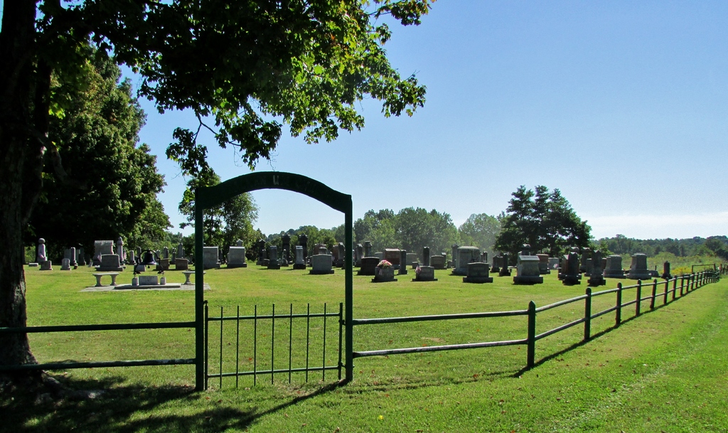
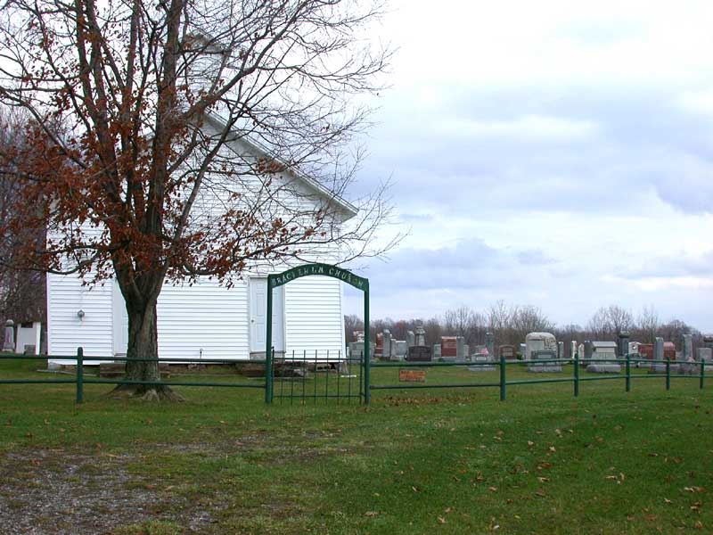
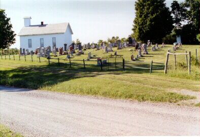
| Description | : | The cemetery is located on the east side of Bracken Ridge Road (County Road 79) at its intersection with Township Road 241. The cemetery is located in Summit Township, Monroe County, Ohio, and is # 8185 (Bracken Ridge Cemetery) in “Ohio Cemeteries 1803-2003”, compiled by the Ohio Genealogical Society. The cemetery is registered with the Ohio Division of Real Estate and Professional Licensing (ODRE) as Bracken Ridge Cemetery with registration license number CGR.2013003190. The U.S. Geological Survey (USGS) Geographic Names Information System (GNIS) feature ID for the cemetery is 1963749 (Bracken Ridge Cemetery). |
frequently asked questions (FAQ):
-
Where is Bracken Ridge Church Cemetery?
Bracken Ridge Church Cemetery is located at Bracken Ridge Road (County Road 79) Summit Township, Monroe County ,Ohio , 43754USA.
-
Bracken Ridge Church Cemetery cemetery's updated grave count on graveviews.com?
15 memorials
-
Where are the coordinates of the Bracken Ridge Church Cemetery?
Latitude: 39.7747960
Longitude: -81.2629620
Nearby Cemetories:
1. Wise Cemetery
Lewisville, Monroe County, USA
Coordinate: 39.7754620, -81.2504200
2. Saint Josephs Roman Catholic Church Cemetery
Summit Township, Monroe County, USA
Coordinate: 39.7882750, -81.2620940
3. Hamilton Cemetery
Monroe County, USA
Coordinate: 39.7810360, -81.2445330
4. Swazey Methodist Cemetery
Monroe County, USA
Coordinate: 39.7661800, -81.2887300
5. Chapel Hill Cemetery
Burkhart, Monroe County, USA
Coordinate: 39.8093987, -81.2583008
6. Friendship Cemetery
Lewisville, Monroe County, USA
Coordinate: 39.7592010, -81.2221985
7. Evangelical Reformed Church Cemetery
Lewisville, Monroe County, USA
Coordinate: 39.7625723, -81.2184446
8. Lewisville German Lutheran Cemetery
Monroe County, USA
Coordinate: 39.7625700, -81.2184400
9. Saint Johns Cemetery
Summit Township, Monroe County, USA
Coordinate: 39.8020164, -81.2159442
10. Sutherland Methodist Cemetery
Stafford, Monroe County, USA
Coordinate: 39.7281281, -81.2692804
11. Danford Cemetery
Monroe County, USA
Coordinate: 39.8119011, -81.3039017
12. Brister Cemetery
Calais, Monroe County, USA
Coordinate: 39.8257100, -81.2629900
13. Mount Zion Methodist Cemetery
Lewisville, Monroe County, USA
Coordinate: 39.7238390, -81.2483750
14. German Cemetery
Monroe County, USA
Coordinate: 39.8100014, -81.2125015
15. Eastern Cemetery
Summerfield, Noble County, USA
Coordinate: 39.8015100, -81.3316920
16. Summerfield Methodist Church Cemetery
Summerfield, Noble County, USA
Coordinate: 39.7967339, -81.3358231
17. Stafford Cemetery
Stafford, Monroe County, USA
Coordinate: 39.7128500, -81.2723400
18. Curtis Ridge Cemetery
Noble County, USA
Coordinate: 39.7546997, -81.3419037
19. Buchanan Presbyterian Church Cemetery
Summit Township, Monroe County, USA
Coordinate: 39.7678490, -81.1798325
20. Crow Cemetery
Carlisle, Noble County, USA
Coordinate: 39.7651500, -81.3469770
21. Mount Tabor Cemetery
Carlisle, Noble County, USA
Coordinate: 39.7220001, -81.3229980
22. Aaron Cemetery
Calais, Monroe County, USA
Coordinate: 39.8417015, -81.2936020
23. Calais Cemetery
Seneca Township, Monroe County, USA
Coordinate: 39.8489000, -81.2753000
24. Barber Ridge Cemetery
Wayne Township, Monroe County, USA
Coordinate: 39.7313995, -81.1819000