
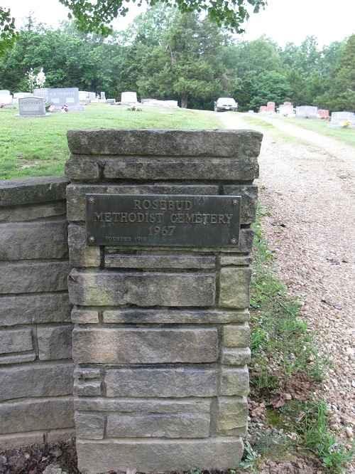
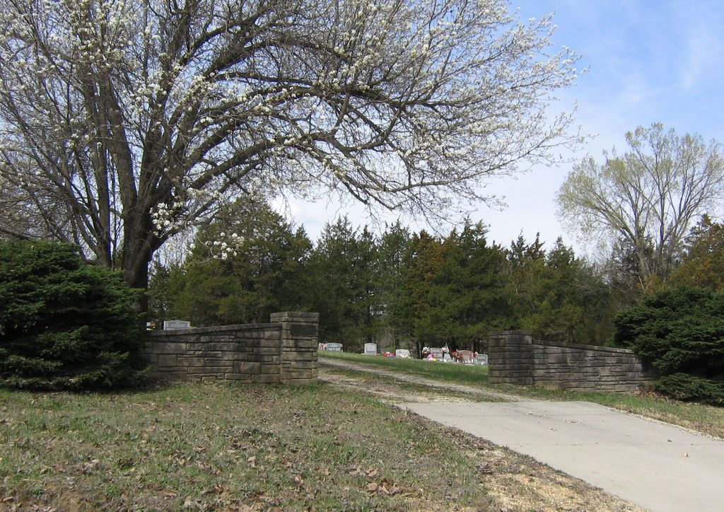
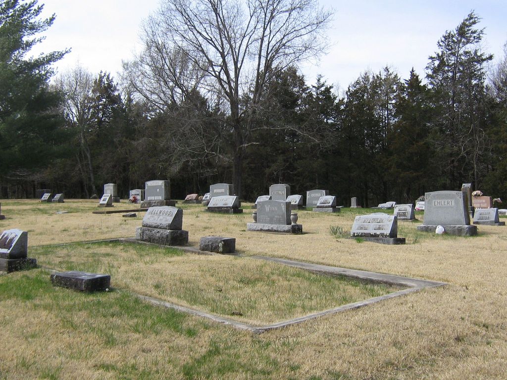
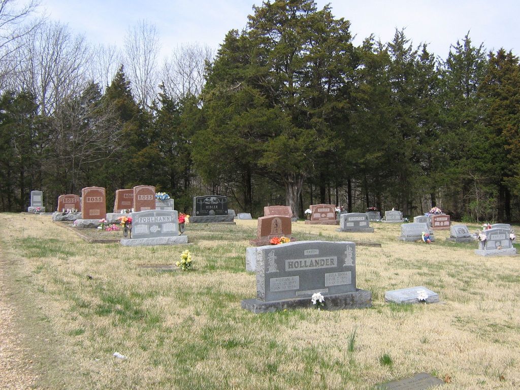
| Memorials | : | 1 |
| Location | : | Rosebud, Gasconade County, USA |
| Coordinate | : | 38.3917660, -91.3999690 |
frequently asked questions (FAQ):
-
Where is Methodist Cemetery?
Methodist Cemetery is located at Rosebud, Gasconade County ,Missouri ,USA.
-
Methodist Cemetery cemetery's updated grave count on graveviews.com?
0 memorials
-
Where are the coordinates of the Methodist Cemetery?
Latitude: 38.3917660
Longitude: -91.3999690
Nearby Cemetories:
1. Immanuel Cemetery
Rosebud, Gasconade County, USA
Coordinate: 38.3869019, -91.4064026
2. Old Polish Cemetery
Owensville, Gasconade County, USA
Coordinate: 38.4069600, -91.4504960
3. Boeuff Cemetery
Gerald, Franklin County, USA
Coordinate: 38.3944016, -91.3450012
4. Red Oak Cemetery
Gasconade County, USA
Coordinate: 38.3499985, -91.3822174
5. Hinton Cemetery
Rosebud, Gasconade County, USA
Coordinate: 38.3460999, -91.4002991
6. Cedar Fork United Baptist Church #2
Gerald, Franklin County, USA
Coordinate: 38.4283500, -91.3499200
7. New Salem Cemetery
Owensville, Gasconade County, USA
Coordinate: 38.4002991, -91.4738998
8. Saint James UCC Cemetery
Drake, Gasconade County, USA
Coordinate: 38.4419950, -91.4420980
9. Cedar Fork United Baptist Church #1
Gerald, Franklin County, USA
Coordinate: 38.4284100, -91.3373500
10. Schroeder Cemetery
Gasconade County, USA
Coordinate: 38.4536018, -91.4047012
11. Saint John Lutheran Church Cemetery
Owensville, Gasconade County, USA
Coordinate: 38.4457800, -91.4428100
12. Leach Cemetery
Owensville, Gasconade County, USA
Coordinate: 38.3614006, -91.4792023
13. Georgetown Cemetery
Gasconade County, USA
Coordinate: 38.4608002, -91.3786011
14. Matthews Cemetery
Owensville, Gasconade County, USA
Coordinate: 38.3946991, -91.4906006
15. Evangelical Saint Paul Cemetery
Gerald, Franklin County, USA
Coordinate: 38.4105988, -91.3106003
16. Immanuel Cemetery
Gasconade County, USA
Coordinate: 38.4460983, -91.4677963
17. Salem Cemetery
Gasconade County, USA
Coordinate: 38.3161011, -91.4119034
18. Saint Peters Cemetery
Owensville, Gasconade County, USA
Coordinate: 38.3572006, -91.4931030
19. Plummer Farm Cemetery
Owensville, Gasconade County, USA
Coordinate: 38.3279900, -91.4644400
20. New Friendship Baptist Church Cemetery
Gerald, Franklin County, USA
Coordinate: 38.3298790, -91.3275870
21. Meyer Family Cemetery
Gasconade County, USA
Coordinate: 38.4723700, -91.3681400
22. Seaton Cemetery
Gerald, Franklin County, USA
Coordinate: 38.3940700, -91.2882400
23. Prior Cemetery
Hope, Osage County, USA
Coordinate: 38.3021050, -91.4041480
24. Koirtyohann-Bates Family Cemetery
Gerald, Franklin County, USA
Coordinate: 38.4286003, -91.2941971