
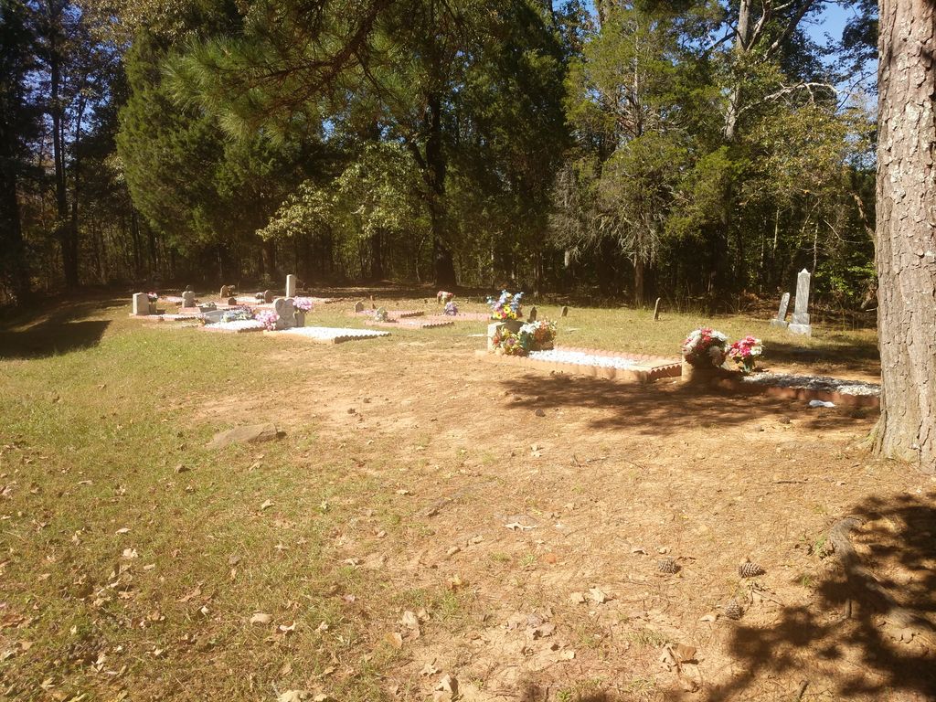
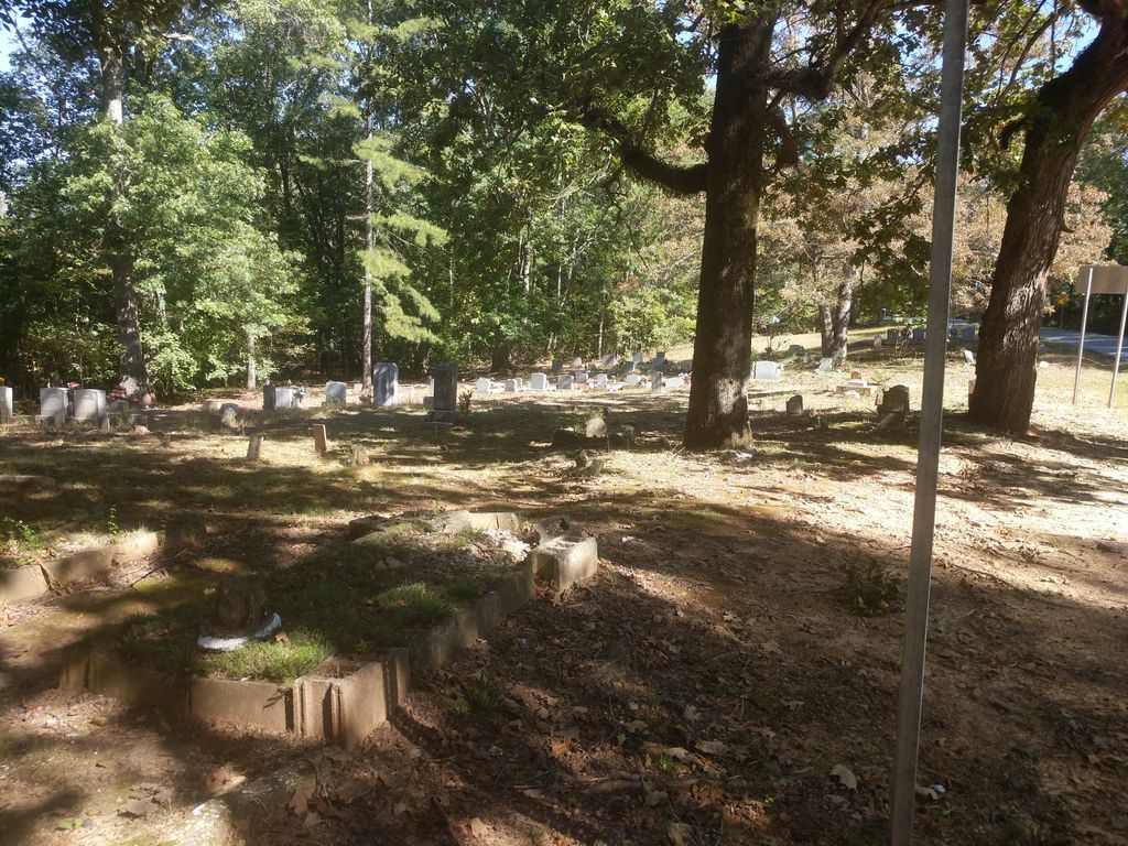
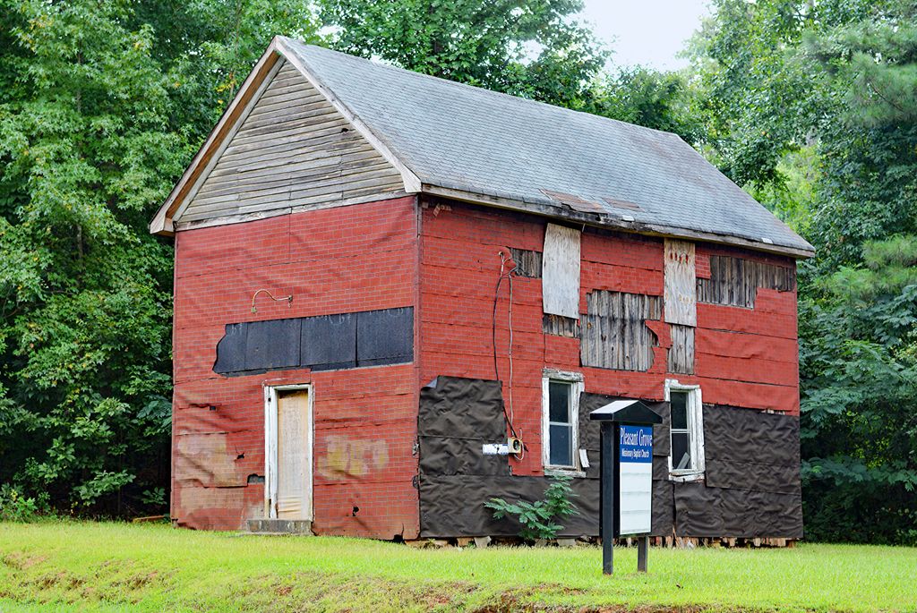
| Memorials | : | 0 |
| Location | : | Douglas County, USA |
| Coordinate | : | 33.7063751, -84.6582870 |
frequently asked questions (FAQ):
-
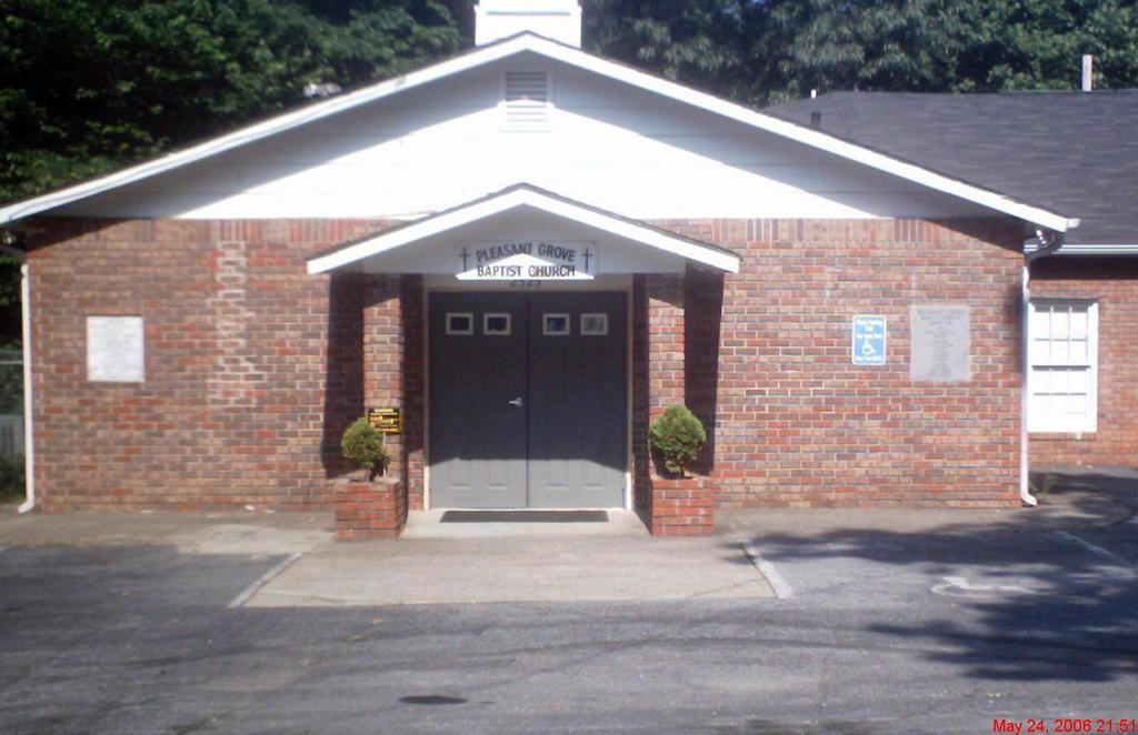
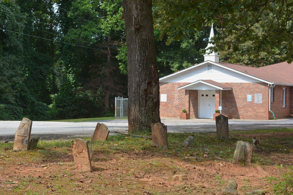
Where is Pleasant Grove Baptist Church Cemetery?
Pleasant Grove Baptist Church Cemetery is located at Douglas County ,Georgia ,USA.
-
Pleasant Grove Baptist Church Cemetery cemetery's updated grave count on graveviews.com?
0 memorials
-
Where are the coordinates of the Pleasant Grove Baptist Church Cemetery?
Latitude: 33.7063751
Longitude: -84.6582870

Nearby Cemetories:
1. New River Community Church Cemetery
Douglasville, Douglas County, USA
Coordinate: 33.7109030, -84.6618760
2. Gorman Cemetery
Douglas County, USA
Coordinate: 33.7097851, -84.6477179
3. Boyd Slave Cemetery
Hilderbrand, Douglas County, USA
Coordinate: 33.6939590, -84.6661810
4. Victory Baptist Church Cemetery
Douglasville, Douglas County, USA
Coordinate: 33.6849340, -84.6616050
5. Connally Family Cemetery
Douglasville, Douglas County, USA
Coordinate: 33.6960240, -84.6344270
6. Moss Cemetery
Hilderbrand, Douglas County, USA
Coordinate: 33.6806710, -84.6672750
7. James Family Cemetery
Douglasville, Douglas County, USA
Coordinate: 33.7334600, -84.6792540
8. Edenfield Family Cemetery
Douglas County, USA
Coordinate: 33.6758990, -84.6734880
9. Believers Church Cemetery
Douglasville, Douglas County, USA
Coordinate: 33.7240261, -84.6921704
10. Old Austell Plantation Cemetery
South Fulton, Fulton County, USA
Coordinate: 33.6726270, -84.6439580
11. Pepper Family Cemetery
Douglas County, USA
Coordinate: 33.7412030, -84.6818960
12. Mount Carmel Primitive Baptist Church Cemetery
Douglasville, Douglas County, USA
Coordinate: 33.7416600, -84.6823700
13. Owl Brothers-Cherokee Indians
Sweetwater Bluff, Douglas County, USA
Coordinate: 33.7408280, -84.6323200
14. Fair View Church Cemetery
Douglasville, Douglas County, USA
Coordinate: 33.7367760, -84.6971520
15. Aderhold Kolb Cemetery
Fulton County, USA
Coordinate: 33.7105790, -84.6034810
16. Liberty Grove Cemetery
Douglasville, Douglas County, USA
Coordinate: 33.7515910, -84.6811150
17. Brock Family Cemetery
Douglasville, Douglas County, USA
Coordinate: 33.6877190, -84.7160050
18. County Line Baptist Church Cemetery
Lithia Springs, Douglas County, USA
Coordinate: 33.7564210, -84.6734280
19. Chapel Hill Cemetery
Douglasville, Douglas County, USA
Coordinate: 33.6852600, -84.7165000
20. Campbellton Baptist Church Cemetery
Fairburn, Fulton County, USA
Coordinate: 33.6530100, -84.6716300
21. Old Campbellton Baptist Church Cemetery
Campbellton, Fulton County, USA
Coordinate: 33.6525300, -84.6686100
22. Friendship Baptist Church Cemetery
Campbellton, Fulton County, USA
Coordinate: 33.6519700, -84.6694300
23. Tranquil AME Church Cemetery
Douglasville, Douglas County, USA
Coordinate: 33.6860950, -84.7221060
24. Campbellton United Methodist Church Cemetery
Fairburn, Fulton County, USA
Coordinate: 33.6505500, -84.6723800