
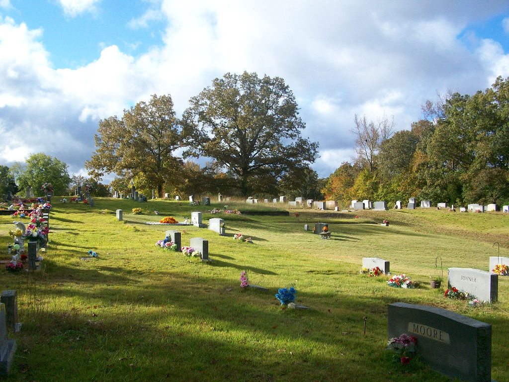
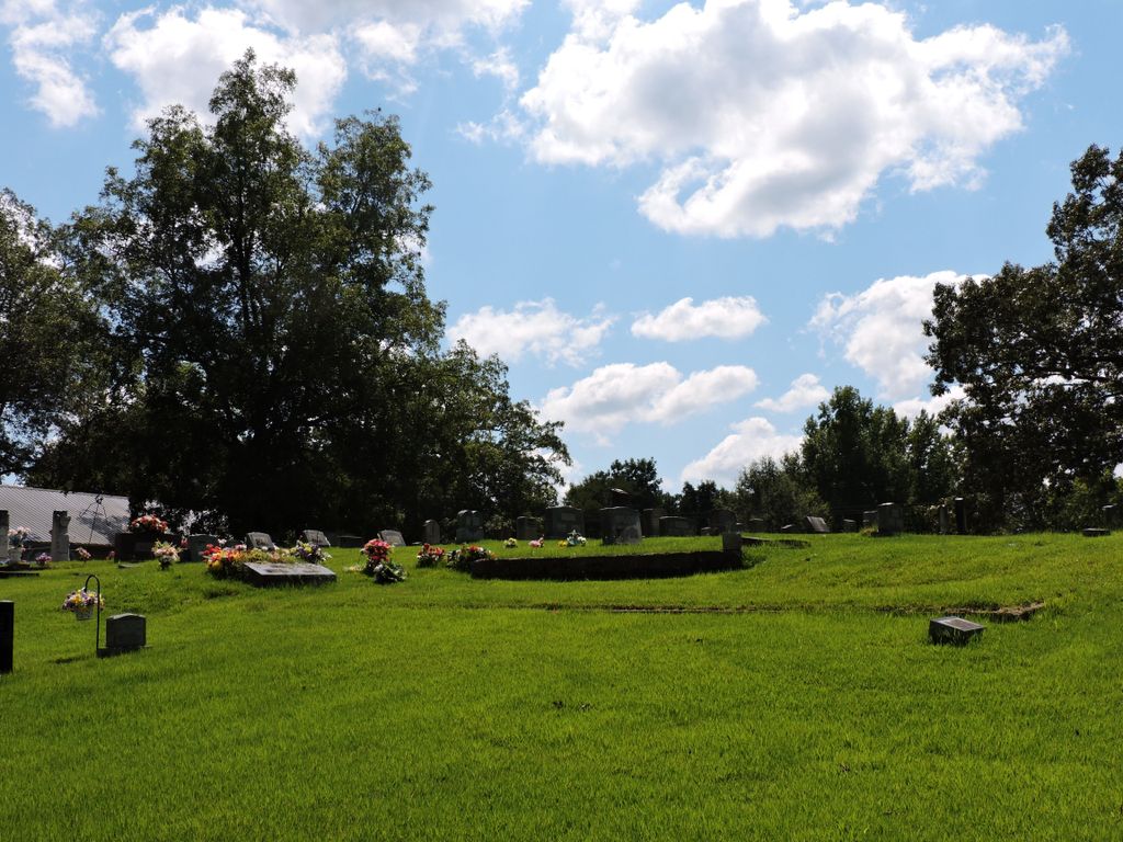
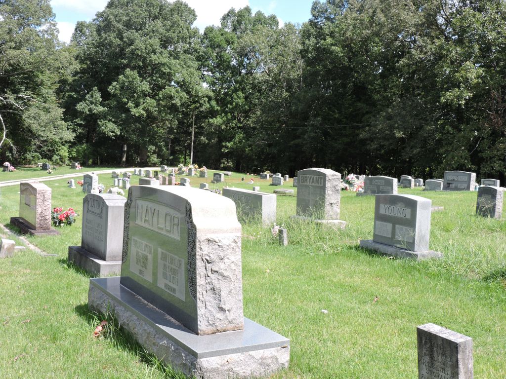
| Memorials | : | 3 |
| Location | : | Finger, McNairy County, USA |
| Coordinate | : | 35.3581900, -88.6107260 |
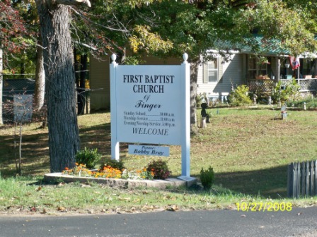
| Description | : | From the intersection of TN-199 E/Finger Leapwood Rd. & US-45 N, west of Finger, travel east on TN-199 E/Finger Leapwood Rd. for 1.7 mi., turning north (left) onto the Cemetery Loop Rd., going past the Finger Baptist Church to the cemetery, surrounded by the Cemetery Loop Rd. |
frequently asked questions (FAQ):
-
Where is Finger Church Cemetery?
Finger Church Cemetery is located at 1774 Finger Leapwood Road Finger, McNairy County ,Tennessee ,USA.
-
Finger Church Cemetery cemetery's updated grave count on graveviews.com?
3 memorials
-
Where are the coordinates of the Finger Church Cemetery?
Latitude: 35.3581900
Longitude: -88.6107260
Nearby Cemetories:
1. Finger Christian Fellowship Cemetery
Finger, McNairy County, USA
Coordinate: 35.3576110, -88.6189170
2. Kerby Family Cemetery
Finger, McNairy County, USA
Coordinate: 35.3656810, -88.5971940
3. Mount Carmel Cemetery
Finger, McNairy County, USA
Coordinate: 35.3424988, -88.6003036
4. Floyd Cemetery
Finger, McNairy County, USA
Coordinate: 35.3371770, -88.6222940
5. Old Friendship Cemetery
Chester County, USA
Coordinate: 35.3622017, -88.6485977
6. Tillman's Chapel Cemetery
Henderson, Chester County, USA
Coordinate: 35.3894610, -88.6225830
7. Estes Church of Christ Cemetery
Henderson, Chester County, USA
Coordinate: 35.3858370, -88.6398660
8. Anderson Slave Cemetery
Finger, McNairy County, USA
Coordinate: 35.3598000, -88.5659000
9. Old Estes Cemetery
Henderson, Chester County, USA
Coordinate: 35.3859790, -88.6462870
10. Harmony Cemetery
Chester County, USA
Coordinate: 35.3960991, -88.6311035
11. Old Oak Grove Cemetery
Henderson, Chester County, USA
Coordinate: 35.3879000, -88.5727200
12. Malone Cemetery
Finger, McNairy County, USA
Coordinate: 35.3602440, -88.5572960
13. Mount Zion Baptist Church Cemetery
McNairy, McNairy County, USA
Coordinate: 35.3139000, -88.6235962
14. Lanes Chapel Cemetery
Finger, McNairy County, USA
Coordinate: 35.3312510, -88.5639110
15. Oak Grove Cemetery
Oak Grove, Chester County, USA
Coordinate: 35.4025002, -88.5858002
16. White Plains Cemetery
Finger, McNairy County, USA
Coordinate: 35.3731670, -88.5516960
17. Chambers Chapel Cemetery
McNairy, McNairy County, USA
Coordinate: 35.3044180, -88.6185380
18. Robinson Cemetery
Chester County, USA
Coordinate: 35.4011002, -88.5642014
19. Chester County Memory Gardens
Henderson, Chester County, USA
Coordinate: 35.4100760, -88.6411590
20. Robertson Cemetery
Henderson, Chester County, USA
Coordinate: 35.4013460, -88.5639870
21. Plunk Cemetery
Finger, McNairy County, USA
Coordinate: 35.3382988, -88.5333023
22. Ross Cemetery
Henderson, Chester County, USA
Coordinate: 35.4252000, -88.6088000
23. Faith Baptist Church Cemetery
Henderson, Chester County, USA
Coordinate: 35.4155970, -88.5666890
24. Smith Cemetery
Finger, McNairy County, USA
Coordinate: 35.3169870, -88.6766370