| Memorials | : | 7 |
| Location | : | Leechburg, Armstrong County, USA |
| Coordinate | : | 40.6746490, -79.5986510 |
| Description | : | From the bridge, in Leechburg, Armstrong County, PA, drive North, for a total of 3.55 miles, on Pennsylvania Route 66, toward Ford City. At 3.55 miles there will be a fork, in the road, on the left...at the fork in the road, turn sharp left and onto Forks Church Road and reverse your driving direction. On Forks Church Road, drive 0.25 miles to the Church and Cemetery on the right. (If you get to Myers Pickle Farm, on Route 66, you drove 0.75 miles too far and you missed this turn.) |
frequently asked questions (FAQ):
-
Where is Forks-Zion Lutheran Evangelical Church Cemetery?
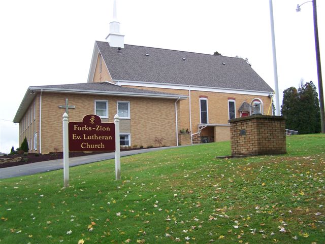
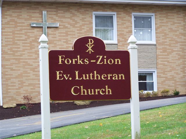
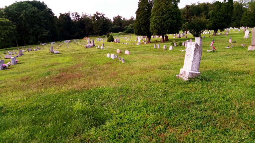
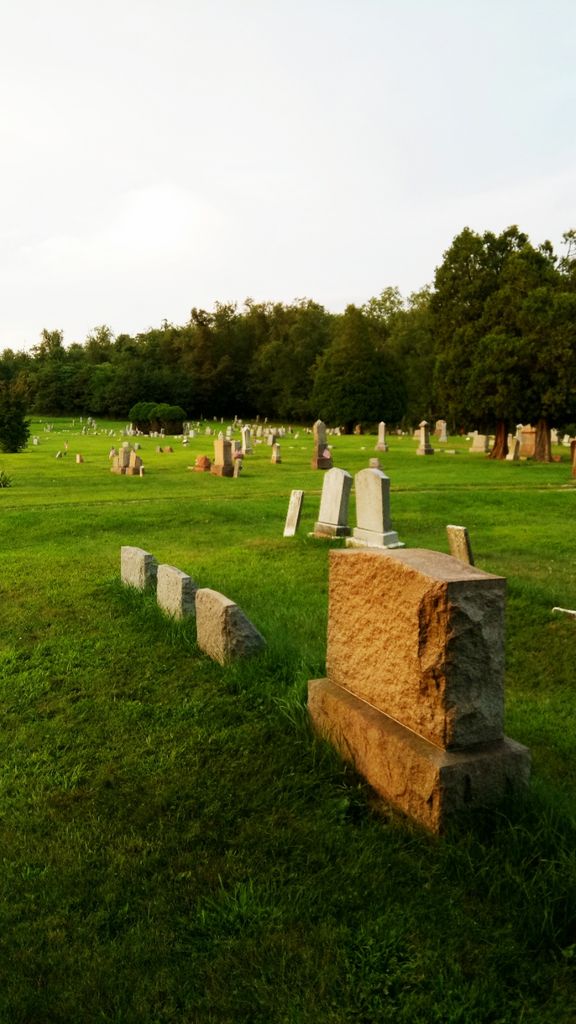
Forks-Zion Lutheran Evangelical Church Cemetery is located at Leechburg, Armstrong County ,Pennsylvania ,USA.
-
Forks-Zion Lutheran Evangelical Church Cemetery cemetery's updated grave count on graveviews.com?
7 memorials
-
Where are the coordinates of the Forks-Zion Lutheran Evangelical Church Cemetery?
Latitude: 40.6746490
Longitude: -79.5986510
Nearby Cemetories:
1. Kidd Farm Cemetery
Leechburg, Armstrong County, USA
Coordinate: 40.6547220, -79.5988890
2. Sober Hill Cemetery
Leechburg, Armstrong County, USA
Coordinate: 40.6650760, -79.6245240
3. Silvis Cemetery
Forks Church, Armstrong County, USA
Coordinate: 40.6948260, -79.5841460
4. Evergreen Cemetery
Leechburg, Armstrong County, USA
Coordinate: 40.6478004, -79.6035995
5. Saint Catherine's Cemetery
Leechburg, Armstrong County, USA
Coordinate: 40.6469994, -79.6019974
6. Murphys Cemetery
Armstrong County, USA
Coordinate: 40.6935997, -79.6425018
7. Smail Family Cemetery
North Vandergrift, Armstrong County, USA
Coordinate: 40.6781730, -79.5466050
8. Leechburg Cemetery
Leechburg, Armstrong County, USA
Coordinate: 40.6320220, -79.6064030
9. Grinder Cemetery
Hyde Park, Westmoreland County, USA
Coordinate: 40.6308000, -79.5865000
10. Parks Family Cemetery
Kiskimere, Armstrong County, USA
Coordinate: 40.6267950, -79.5775470
11. McVille Union Cemetery
McVille, Armstrong County, USA
Coordinate: 40.7275848, -79.6052933
12. Bethel Lutheran Church Cemetery
Ford City, Armstrong County, USA
Coordinate: 40.6969290, -79.5336720
13. Brookland Cemetery
Bagdad, Westmoreland County, USA
Coordinate: 40.6493988, -79.6669006
14. Homewood Baptist Church Cemetery
Ford City, Armstrong County, USA
Coordinate: 40.7266000, -79.5616000
15. Saint Mary's Cemetery
Freeport, Armstrong County, USA
Coordinate: 40.6800003, -79.6781006
16. Freeport Cemetery
Freeport, Armstrong County, USA
Coordinate: 40.6810989, -79.6791992
17. Laurel Point Cemetery
Armstrong County, USA
Coordinate: 40.6203003, -79.5543976
18. Porter Cemetery
Armstrong County, USA
Coordinate: 40.6618996, -79.5147018
19. Keppel Burial Ground
Armstrong County, USA
Coordinate: 40.6101000, -79.5822000
20. Highfield Lutheran Church Cemetery
North Vandergrift, Armstrong County, USA
Coordinate: 40.6392441, -79.5245590
21. Mud Church Cemetery
Freeport, Armstrong County, USA
Coordinate: 40.7260050, -79.6556400
22. Oakland Methodist Cemetery
Ford City, Armstrong County, USA
Coordinate: 40.7217865, -79.5342789
23. Saint Francis DePaul Cemetery
Cadogan, Armstrong County, USA
Coordinate: 40.7432000, -79.5955000
24. Crooked Creek Presbyterian Cemetery
Ford City, Armstrong County, USA
Coordinate: 40.7104000, -79.5197000


