
| Memorials | : | 0 |
| Location | : | Altenglan, Landkreis Kusel, Germany |
| Coordinate | : | 49.5542360, 7.4599070 |
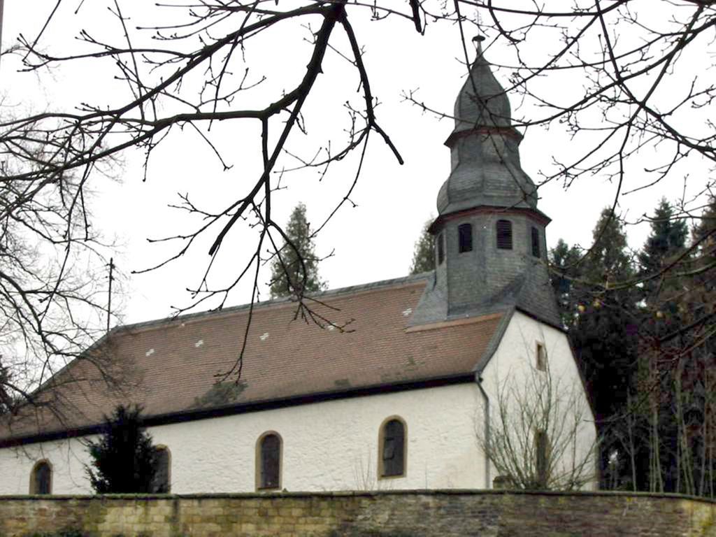
| Description | : | Contact: Pfarramt Altenglan Kuseler Strasse 18 66885 Altenglan GERMANY The village of Altenglan dates back to the middle of the 12th century and was the property of the counts of Veldenz. From 1797 until 1814 the region belonged to the kingdom of France, then became part of Bavaria until 1945. Since then Altenglan and the county of Kusel is part of the German State of Rheinland-Pfalz. The villages of Mühlbach and Patersbach were incorporated into Altenglan in 1969. Both still maintain their own cemeteries. The old medieval church of Altenglan now stands on a property which used to be the old cemetery. The graves have long... Read More |
frequently asked questions (FAQ):
-
Where is Friedhof Altenglan?
Friedhof Altenglan is located at Friedhofstrasse 1 Altenglan, Landkreis Kusel ,Rheinland-Pfalz , 66885Germany.
-
Friedhof Altenglan cemetery's updated grave count on graveviews.com?
0 memorials
-
Where are the coordinates of the Friedhof Altenglan?
Latitude: 49.5542360
Longitude: 7.4599070
Nearby Cemetories:
1. Friedhof Rutsweiler am Glan
Rutsweiler am Glan, Landkreis Kusel, Germany
Coordinate: 49.5316860, 7.4578340
2. Friedhof Kusel
Kirrweiler, Landkreis Kusel, Germany
Coordinate: 49.5416190, 7.4167560
3. Propsteikirche
Haschbach am Remigiusberg, Landkreis Kusel, Germany
Coordinate: 49.5212180, 7.4382500
4. Ulmet Flurskapelle
Ulmet, Landkreis Kusel, Germany
Coordinate: 49.5912230, 7.4527580
5. Friedhof Rehweiler
Rehweiler, Landkreis Kusel, Germany
Coordinate: 49.4803625, 7.4387971
6. Friedhof Quirnbach
Quirnbach, Landkreis Kusel, Germany
Coordinate: 49.4784922, 7.4182498
7. Friedhof Pfeffelbach
Pfeffelbach, Landkreis Kusel, Germany
Coordinate: 49.5417772, 7.3308117
8. Friedhof Henschtal
Landkreis Kusel, Germany
Coordinate: 49.4646293, 7.4056378
9. Ilgesheim Evangelical Cemetery
Ilgesheim, Landkreis Kusel, Germany
Coordinate: 49.6510000, 7.4454300
10. Trahweiler
Trahweiler, Landkreis Kusel, Germany
Coordinate: 49.4643049, 7.4015576
11. Jüdischer Friedhof Steinbach am Glan
Steinbach, Landkreis Kusel, Germany
Coordinate: 49.4577760, 7.3982190
12. Friedhof 2
Frutzweiler, Landkreis Kusel, Germany
Coordinate: 49.4546832, 7.3807754
13. Hausweiler Friedhof
Hausweiler, Landkreis Kusel, Germany
Coordinate: 49.6460360, 7.5604180
14. Friedhof 1
Frutzweiler, Landkreis Kusel, Germany
Coordinate: 49.4517685, 7.3762781
15. Friedhof Fohren-Linden
Fohren-Linden, Landkreis Birkenfeld, Germany
Coordinate: 49.5890821, 7.2836588
16. Friedhof Ramstein
Ramstein-Miesenbach, Landkreis Kaiserslautern, Germany
Coordinate: 49.4473300, 7.5494100
17. Friedhof Ohmbach
Ohmbach, Landkreis Kusel, Germany
Coordinate: 49.4509570, 7.3474230
18. Friedhof Hauptstuhl
Hauptstuhl, Landkreis Kaiserslautern, Germany
Coordinate: 49.4003883, 7.4991166
19. Friedhof Kübelberg
Schönenberg-Kübelberg, Landkreis Kusel, Germany
Coordinate: 49.4079629, 7.3698712
20. Friedhofsverwaltung
Bad Kreuznach, Landkreis Bad Kreuznach, Germany
Coordinate: 49.4000000, 7.5200000
21. Landstuhl Cemetery
Landstuhl, Landkreis Kaiserslautern, Germany
Coordinate: 49.4132313, 7.5803565
22. St. Andreas-Kirche
Landstuhl, Landkreis Kaiserslautern, Germany
Coordinate: 49.4095100, 7.5701620
23. Adenbach alter Friedhof
Adenbach, Landkreis Kusel, Germany
Coordinate: 49.6684940, 7.6463450
24. Friedhof Otzweiler
Otzweiler, Landkreis Bad Kreuznach, Germany
Coordinate: 49.7166700, 7.5166700