
| Memorials | : | 0 |
| Location | : | Bobenthal, Landkreis Südwestpfalz, Germany |
| Coordinate | : | 49.0643900, 7.8576300 |
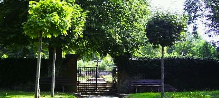
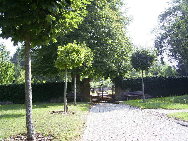
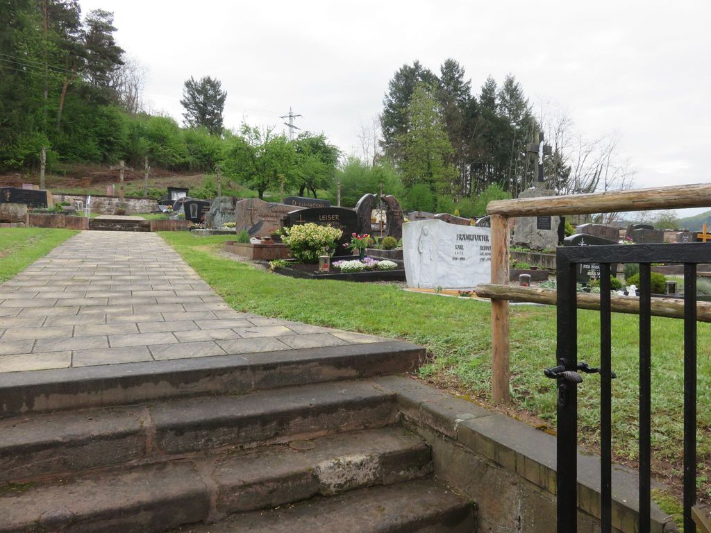
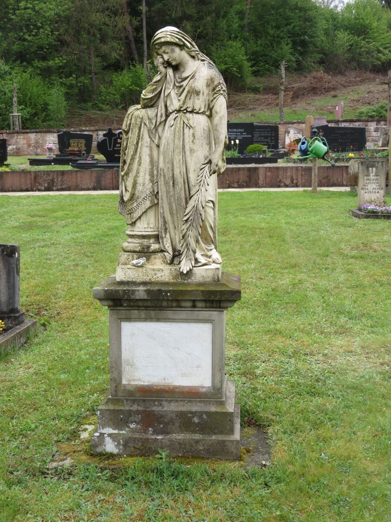
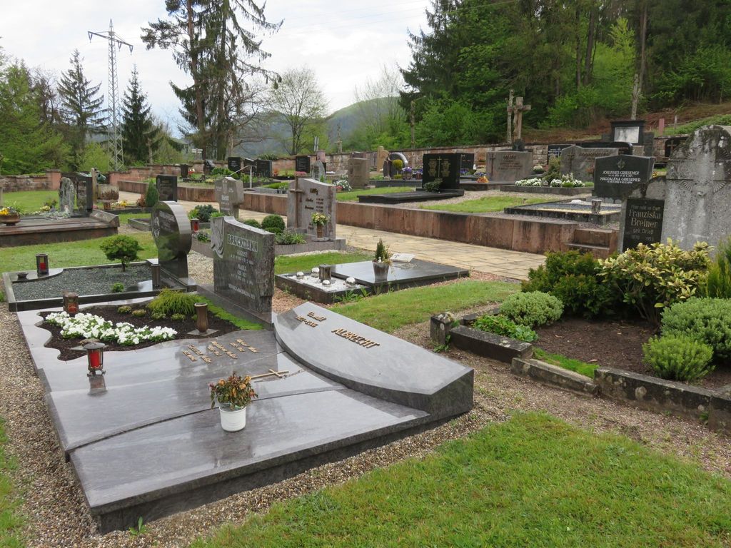
| Description | : | Bobenthal ist eine Ortsgemeinde im Landkreis Südwestpfalz in Rheinland-Pfalz. Sie gehört der Verbandsgemeinde Dahner Felsenland an, die ihren Verwaltungssitz in der Stadt Dahn hat. In 2015 hatte Bobenthal 291 Einwohner. Die größte Stadt in der Nähe von Bobenthal ist Bad Bergzabern. Die meisten Grabsteine wurden im Jahr 2004 von Andreas Drieß fotografiert. --------------------------------------------------- Bobenthal is a municipality in the Südwestpfalz administrative district in the German state of Rhineland-Palatinate which is located near to the French border and northwest of Karlsruhe. It has a population of 291 (2015). The biggest town closest to Bobenthal is Bad Bergzabern. The cemetery is, as are all German cemeteries,... Read More |
frequently asked questions (FAQ):
-
Where is Friedhof Bobenthal?
Friedhof Bobenthal is located at Friedhofstraße Bobenthal, Landkreis Südwestpfalz ,Rheinland-Pfalz , 76891Germany.
-
Friedhof Bobenthal cemetery's updated grave count on graveviews.com?
0 memorials
-
Where are the coordinates of the Friedhof Bobenthal?
Latitude: 49.0643900
Longitude: 7.8576300
Nearby Cemetories:
1. Friedhof Niederschlettenbach
Niederschlettenbach, Landkreis Südwestpfalz, Germany
Coordinate: 49.0838800, 7.8504800
2. Friedhof Nothweiler
Nothweiler, Landkreis Südwestpfalz, Germany
Coordinate: 49.0702600, 7.8026500
3. Friedhof Bundenthal
Bundenthal, Landkreis Südwestpfalz, Germany
Coordinate: 49.0918000, 7.8114500
4. Église Saint Philippe et Saint Jacques
Climbach, Departement du Bas-Rhin, France
Coordinate: 49.0164030, 7.8511920
5. Friedhof Erlenbach bei Dahn
Erlenbach bei Dahn, Landkreis Südwestpfalz, Germany
Coordinate: 49.1146900, 7.8646200
6. Neuer Friedhof Bruchweiler-Bärenbach
Bruchweiler-Bärenbach, Landkreis Südwestpfalz, Germany
Coordinate: 49.1099200, 7.8122200
7. Friedhof Rumbach
Rumbach, Landkreis Südwestpfalz, Germany
Coordinate: 49.0961000, 7.7835600
8. Friedhof Lauterschwan
Lauterschwan, Landkreis Südwestpfalz, Germany
Coordinate: 49.1142400, 7.9052800
9. Friedhof Schweigen
Schweigen-Rechtenbach, Landkreis Südliche Weinstraße, Germany
Coordinate: 49.0493800, 7.9486400
10. Alter Friedhof Bruchweiler-Bärenbach
Bruchweiler-Bärenbach, Landkreis Südwestpfalz, Germany
Coordinate: 49.1152000, 7.8025100
11. Friedhof Böllenborn
Böllenborn, Landkreis Südliche Weinstraße, Germany
Coordinate: 49.0995300, 7.9368800
12. Jüdischer Friedhof Busenberg
Busenberg, Landkreis Südwestpfalz, Germany
Coordinate: 49.1262340, 7.8389840
13. Friedhof Rechtenbach
Schweigen-Rechtenbach, Landkreis Südliche Weinstraße, Germany
Coordinate: 49.0570530, 7.9552670
14. Friedhof Vorderweidenthal
Vorderweidenthal, Landkreis Südliche Weinstraße, Germany
Coordinate: 49.1284760, 7.8830630
15. Friedhof Birkenhördt
Birkenhördt, Landkreis Südliche Weinstraße, Germany
Coordinate: 49.1150600, 7.9242400
16. Friedhof Busenberg
Busenberg, Landkreis Südwestpfalz, Germany
Coordinate: 49.1311060, 7.8288170
17. Friedhof Sankt Nikolaus
Schönau, Landkreis Südwestpfalz, Germany
Coordinate: 49.0595310, 7.7501690
18. Gemeindefriedhof Schönau
Schönau, Landkreis Südwestpfalz, Germany
Coordinate: 49.0602500, 7.7496600
19. Friedhof Dörrenbach
Dörrenbach, Landkreis Südliche Weinstraße, Germany
Coordinate: 49.0904200, 7.9611490
20. Friedhof Oberotterbach
Oberotterbach, Landkreis Südliche Weinstraße, Germany
Coordinate: 49.0731920, 7.9752540
21. Bremmelbach
Cleebourg, Departement du Bas-Rhin, France
Coordinate: 48.9871643, 7.8963862
22. Friedhof Oberschlettenbach
Oberschlettenbach, Landkreis Südliche Weinstraße, Germany
Coordinate: 49.1455900, 7.8753200
23. Friedhof Schindhard
Schindhard, Landkreis Südwestpfalz, Germany
Coordinate: 49.1469200, 7.8198700
24. Friedhof Blankenborn
Blankenborn, Landkreis Südliche Weinstraße, Germany
Coordinate: 49.1293300, 7.9564800