
| Memorials | : | 0 |
| Location | : | Rudow, Neukölln, Germany |
| Coordinate | : | 52.4108734, 13.5106192 |
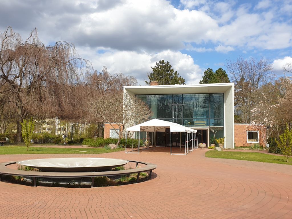
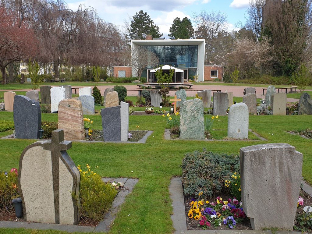
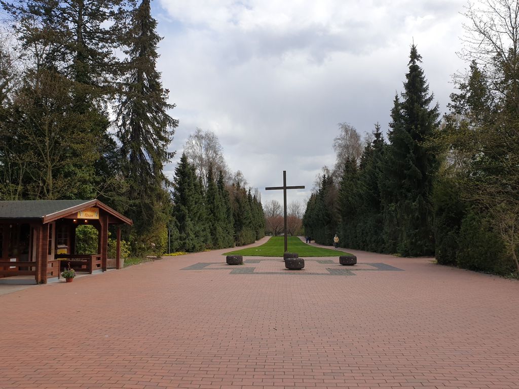
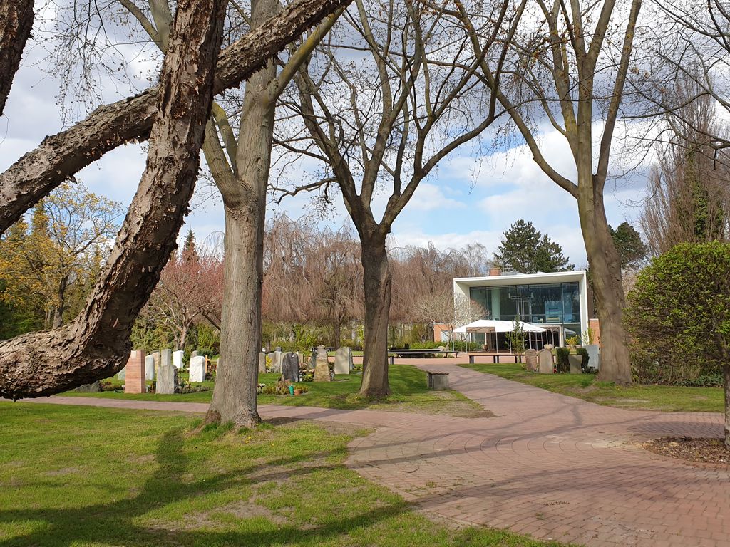
| Description | : | Official German name: Kirchhof der evangelischen Kirchengemeinde Berlin-Rudow, or sometimes shortened to Kirchhof Rudow, though commonly referred to as Friedhof Ostburger Weg Address: Ev. Kirchhof Rudow Ostburger Weg 43-57 Berlin GERMANY Phone: (030) 663 49 78 Cemetery of the Lutheran Church Congregation in Berlin-Rudow (part of Neukölln District). Opened in 1958. It covers an area of 64512 square meters (about 16 acres). Please note that the final resting places in Germany are not eternal, due to lack of space. This cemetery has a "period of repose" of 20 years. Once the time is up for a renewal of the "lease" the cemetery administration will place a small sticker on the... Read More |
frequently asked questions (FAQ):
-
Where is Friedhof Ostburger Weg?
Friedhof Ostburger Weg is located at Ostburger Weg 43-57 Rudow, Neukölln ,Berlin ,Germany.
-
Friedhof Ostburger Weg cemetery's updated grave count on graveviews.com?
0 memorials
-
Where are the coordinates of the Friedhof Ostburger Weg?
Latitude: 52.4108734
Longitude: 13.5106192
Nearby Cemetories:
1. Friedhof Altglienicke
Altglienicke, Treptow-Köpenick, Germany
Coordinate: 52.4110760, 13.5274100
2. Friedhof Köpenicker Strasse
Rudow, Neukölln, Germany
Coordinate: 52.4209061, 13.5033989
3. Kirchhof Alt-Glienicke
Altglienicke, Treptow-Köpenick, Germany
Coordinate: 52.4211210, 13.5289660
4. Alter Friedhof Schönefeld
Schonefeld, Landkreis Dahme-Spreewald, Germany
Coordinate: 52.3872400, 13.5062690
5. Friedhof Schönefeld
Landkreis Dahme-Spreewald, Germany
Coordinate: 52.3847740, 13.5120870
6. Friedhof Bohnsdorf
Bohnsdorf, Treptow-Köpenick, Germany
Coordinate: 52.3998620, 13.5587280
7. Friedhof Adlershof
Adlershof, Treptow-Köpenick, Germany
Coordinate: 52.4412560, 13.5466580
8. Alter Kirchhof Grossziethen
Grossziethen, Landkreis Dahme-Spreewald, Germany
Coordinate: 52.3962975, 13.4482527
9. Neuer Friedhof Grossziethen
Grossziethen, Landkreis Dahme-Spreewald, Germany
Coordinate: 52.3991013, 13.4445515
10. Kirchhof Wassmannsdorf
Schonefeld, Landkreis Dahme-Spreewald, Germany
Coordinate: 52.3710100, 13.4724170
11. Kriegsgräberanlage Rudower Strasse
Treptow-Köpenick, Germany
Coordinate: 52.4437480, 13.5653580
12. St. Laurentius-Friedhof
Kopenick, Treptow-Köpenick, Germany
Coordinate: 52.4437500, 13.5653600
13. Friedhof Wassmannsdorf
Schonefeld, Landkreis Dahme-Spreewald, Germany
Coordinate: 52.3715324, 13.4651613
14. Waldfriedhof Grünau
Grunau, Treptow-Köpenick, Germany
Coordinate: 52.4072760, 13.5905280
15. Friedhof Alt-Buckow
Buckow, Neukölln, Germany
Coordinate: 52.4205025, 13.4309062
16. Dorfkirchhof Alt-Buckow
Buckow, Neukölln, Germany
Coordinate: 52.4220110, 13.4310010
17. Friedhof Baumschulenweg
Baumschulenweg, Treptow-Köpenick, Germany
Coordinate: 52.4608330, 13.4938890
18. Rathaus Köpenick
Treptow-Köpenick, Germany
Coordinate: 52.4457220, 13.5747500
19. Friedhof Waltersdorf
Schonefeld, Landkreis Dahme-Spreewald, Germany
Coordinate: 52.3626519, 13.5494779
20. Parkfriedhof Neukölln Urnenhain
Neukölln, Neukölln, Germany
Coordinate: 52.4275322, 13.4257011
21. Parkfriedhof Neukölln
Neukölln, Neukölln, Germany
Coordinate: 52.4301300, 13.4267282
22. Waldfriedhof Oberschöneweide
Oberschoneweide, Treptow-Köpenick, Germany
Coordinate: 52.4638000, 13.5335000
23. Kirchhof Waltersdorf
Schonefeld, Landkreis Dahme-Spreewald, Germany
Coordinate: 52.3619950, 13.5556590
24. Kirchhof Selchow
Schonefeld, Landkreis Dahme-Spreewald, Germany
Coordinate: 52.3582210, 13.4725110