| Memorials | : | 0 |
| Location | : | Schonefeld, Landkreis Dahme-Spreewald, Germany |
| Coordinate | : | 52.3582210, 13.4725110 |
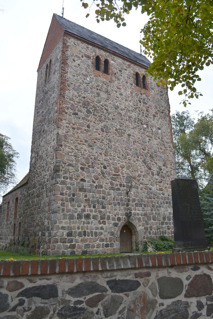
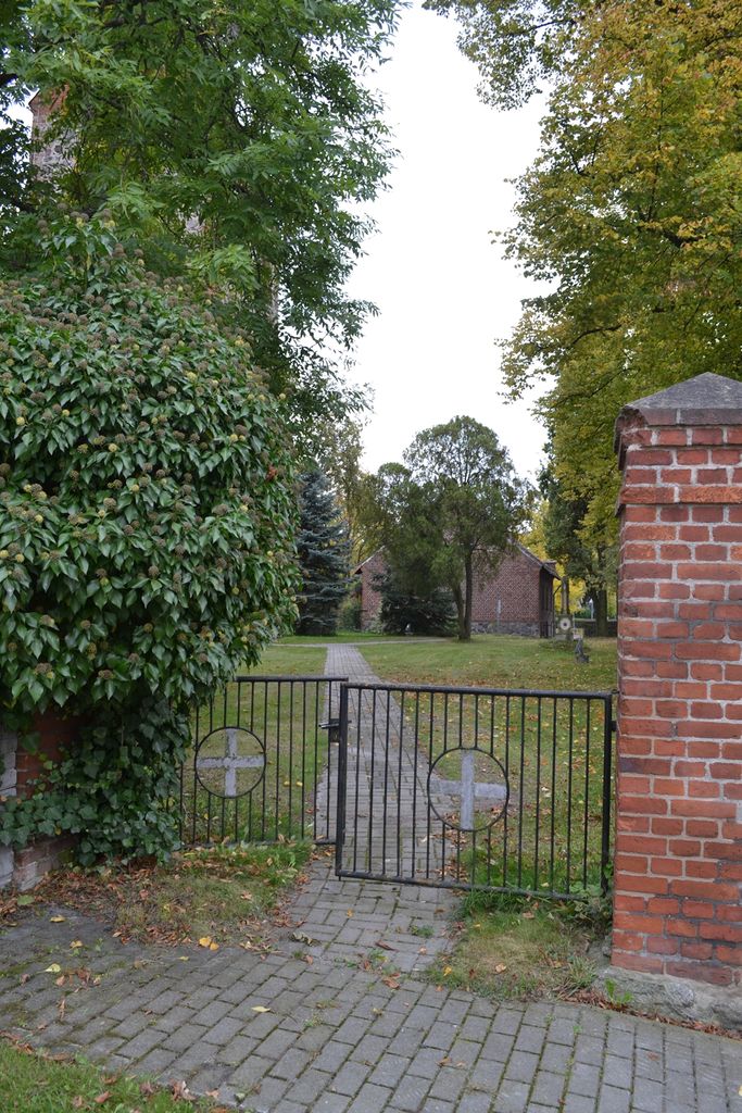
| Description | : | The old cemetery surrounds the village church of Selchow, which was built in 1866. It is no longer in use. The last burial was in the late 1950's. Very few grave markers are left, most of them illegible. Some metal crosses are now leaning against the outside wall of the church, which DO NOT indicated these people's original burial spots. Also, behind the church, some old stones were collected and placed together, those DO NOT indicate the original burial plots either. The church itself is still used by the Lutheran congregation of Selchow. Just outside the southern gate to this... Read More |
frequently asked questions (FAQ):
-
Where is Kirchhof Selchow?
Kirchhof Selchow is located at Alte Selchower Strasse 9 Schonefeld, Landkreis Dahme-Spreewald ,Brandenburg ,Germany.
-
Kirchhof Selchow cemetery's updated grave count on graveviews.com?
0 memorials
-
Where are the coordinates of the Kirchhof Selchow?
Latitude: 52.3582210
Longitude: 13.4725110
Nearby Cemetories:
1. Friedhof Selchow
Schonefeld, Landkreis Dahme-Spreewald, Germany
Coordinate: 52.3571810, 13.4745870
2. Kirchhof Wassmannsdorf
Schonefeld, Landkreis Dahme-Spreewald, Germany
Coordinate: 52.3710100, 13.4724170
3. Friedhof Wassmannsdorf
Schonefeld, Landkreis Dahme-Spreewald, Germany
Coordinate: 52.3715324, 13.4651613
4. Friedhof Rotberg
Rotberg, Landkreis Dahme-Spreewald, Germany
Coordinate: 52.3407569, 13.5066658
5. Alter Friedhof Schönefeld
Schonefeld, Landkreis Dahme-Spreewald, Germany
Coordinate: 52.3872400, 13.5062690
6. Friedhof Schönefeld
Landkreis Dahme-Spreewald, Germany
Coordinate: 52.3847740, 13.5120870
7. Alter Kirchhof Grossziethen
Grossziethen, Landkreis Dahme-Spreewald, Germany
Coordinate: 52.3962975, 13.4482527
8. Neuer Friedhof Grossziethen
Grossziethen, Landkreis Dahme-Spreewald, Germany
Coordinate: 52.3991013, 13.4445515
9. Friedhof Dahlewitz
Dahlewitz, Landkreis Teltow-Fläming, Germany
Coordinate: 52.3192110, 13.4369291
10. Friedhof Lichtenrade
Lichtenrade, Tempelhof-Schöneberg, Germany
Coordinate: 52.3843360, 13.4090710
11. Friedhof Waltersdorf
Schonefeld, Landkreis Dahme-Spreewald, Germany
Coordinate: 52.3626519, 13.5494779
12. Evangelischer Waldfriedhof Blankenfelde
Blankenfelde, Landkreis Teltow-Fläming, Germany
Coordinate: 52.3406365, 13.3993458
13. Kirchhof Alt-Lichtenrade
Lichtenrade, Tempelhof-Schöneberg, Germany
Coordinate: 52.3914680, 13.4102970
14. Kirchhof Waltersdorf
Schonefeld, Landkreis Dahme-Spreewald, Germany
Coordinate: 52.3619950, 13.5556590
15. Friedhof Ostburger Weg
Rudow, Neukölln, Germany
Coordinate: 52.4108734, 13.5106192
16. Friedhof Altglienicke
Altglienicke, Treptow-Köpenick, Germany
Coordinate: 52.4110760, 13.5274100
17. Friedhof Köpenicker Strasse
Rudow, Neukölln, Germany
Coordinate: 52.4209061, 13.5033989
18. Friedhof Bohnsdorf
Bohnsdorf, Treptow-Köpenick, Germany
Coordinate: 52.3998620, 13.5587280
19. Friedhof Alt-Buckow
Buckow, Neukölln, Germany
Coordinate: 52.4205025, 13.4309062
20. Dorfkirchhof Alt-Buckow
Buckow, Neukölln, Germany
Coordinate: 52.4220110, 13.4310010
21. Kirchhof Alt-Glienicke
Altglienicke, Treptow-Köpenick, Germany
Coordinate: 52.4211210, 13.5289660
22. Parkfriedhof Neukölln Urnenhain
Neukölln, Neukölln, Germany
Coordinate: 52.4275322, 13.4257011
23. Parkfriedhof Neukölln
Neukölln, Neukölln, Germany
Coordinate: 52.4301300, 13.4267282
24. Dorfkirchhof Alt-Marienfelde
Marienfelde, Tempelhof-Schöneberg, Germany
Coordinate: 52.4121706, 13.3677399


