
| Memorials | : | 0 |
| Location | : | Rothenburg ob der Tauber, Landkreis Ansbach, Germany |
| Coordinate | : | 49.3754270, 10.1874910 |
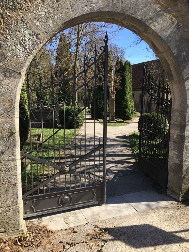
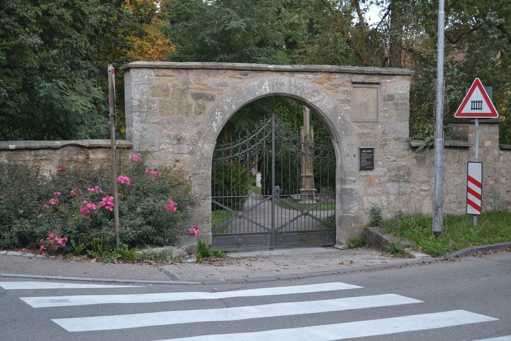
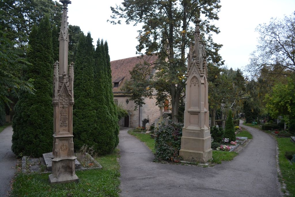
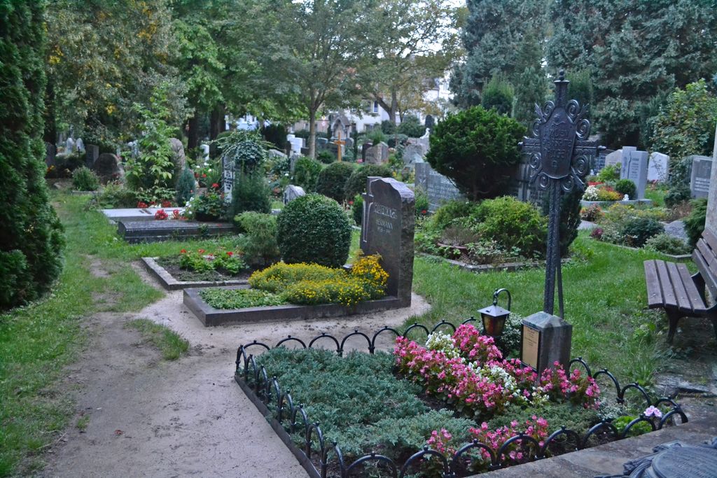
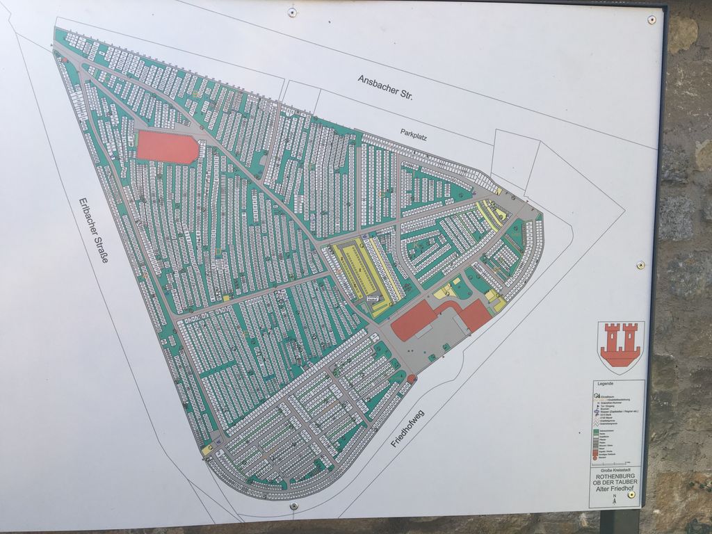
| Description | : | The old cemetery in Rothenburg is located on the eastern side of Erlbacher Strasse, across from the new one. The main gate is located at Ansbacher Strasse/Erlbacher Strasse, at its most northern tip. The cemetery is owned and maintained by the city of Rothenburg. The northern part of this cemetery is managed by the Lutheran St. Jakob congregation of Rothenburg, which had been given a perpetual lease for that part by the city in 1911. It has the oldest graves in it. There is no distinction between the church maintained area and the municipal one. The oldest graves surround the... Read More |
frequently asked questions (FAQ):
-
Where is Alter Friedhof Rothenburg?
Alter Friedhof Rothenburg is located at Ansbacher Strasse/Friedhofsweg Rothenburg ob der Tauber, Landkreis Ansbach ,Bavaria (Bayern) , 91541Germany.
-
Alter Friedhof Rothenburg cemetery's updated grave count on graveviews.com?
0 memorials
-
Where are the coordinates of the Alter Friedhof Rothenburg?
Latitude: 49.3754270
Longitude: 10.1874910
Nearby Cemetories:
1. Neuer Friedhof Rothenburg
Rothenburg ob der Tauber, Landkreis Ansbach, Germany
Coordinate: 49.3741670, 10.1865520
2. Franziskanerkloster Rothenburg o.d. Tauber
Rothenburg ob der Tauber, Landkreis Ansbach, Germany
Coordinate: 49.3766670, 10.1763890
3. Neuer jüdischer Friedhof Rothenburg
Rothenburg ob der Tauber, Landkreis Ansbach, Germany
Coordinate: 49.3843200, 10.1867210
4. Friedhof Sankt Leonhard
Rothenburg ob der Tauber, Landkreis Ansbach, Germany
Coordinate: 49.3619997, 10.1952344
5. Friedhof Neusitz
Neusitz, Landkreis Ansbach, Germany
Coordinate: 49.3714107, 10.2224423
6. Gebsattel
Gebsattel, Landkreis Ansbach, Germany
Coordinate: 49.3503735, 10.1932641
7. Friedhof Bockenfeld
Bockenfeld, Landkreis Ansbach, Germany
Coordinate: 49.3286696, 10.1967328
8. Friedhof Heiligenbronn
Heiligenbronn, Landkreis Schwäbisch Hall, Germany
Coordinate: 49.3794013, 10.0981218
9. Friedhof Diebach
Diebach, Landkreis Ansbach, Germany
Coordinate: 49.3093394, 10.1865778
10. Friedhof Insingen
Insingen, Landkreis Ansbach, Germany
Coordinate: 49.3033533, 10.1619194
11. Friedhof Gammesfeld
Gammesfeld, Landkreis Schwäbisch Hall, Germany
Coordinate: 49.3112540, 10.0948363
12. Friedhof Diebach-Oberoestheim
Oberoestheim, Landkreis Ansbach, Germany
Coordinate: 49.2861721, 10.2036907
13. Friedhof Hausen am Bach
Rot am See, Landkreis Schwäbisch Hall, Germany
Coordinate: 49.2959356, 10.1179181
14. Friedhof Gastenfelden
Gastenfelden (Buch am Wald), Landkreis Ansbach, Germany
Coordinate: 49.3160642, 10.2959667
15. Friedhof Ohrenbach
Ohrenbach, Landkreis Ansbach, Germany
Coordinate: 49.4691644, 10.2109335
16. Friedhof Archshofen
Archshofen, Main-Tauber-Kreis, Germany
Coordinate: 49.4529800, 10.0750300
17. Gailnau Cemetery
Untergailnau, Landkreis Ansbach, Germany
Coordinate: 49.2678533, 10.1887184
18. Friedhof Brettheim
Brettheim, Landkreis Schwäbisch Hall, Germany
Coordinate: 49.2782623, 10.0903073
19. Friedhof Wettringen
Wettringen, Landkreis Ansbach, Germany
Coordinate: 49.2579900, 10.1574300
20. Friedhof Wörnitz
Wörnitz, Landkreis Ansbach, Germany
Coordinate: 49.2567417, 10.2422890
21. Friedhof Krailshausen
Krailshausen, Landkreis Schwäbisch Hall, Germany
Coordinate: 49.3665818, 9.9915662
22. Friedhof Marktbergel
Marktbergel, Landkreis Neustadt-Bad Windsheim, Germany
Coordinate: 49.4406240, 10.3596980
23. Friedhof Hilgartshausen
Rot am See, Landkreis Schwäbisch Hall, Germany
Coordinate: 49.2672091, 10.0675529
24. Friedhof Wildentierbach
Wildentierbach, Main-Tauber-Kreis, Germany
Coordinate: 49.3952860, 9.9825730