
| Memorials | : | 142 |
| Location | : | Marion, Plymouth County, USA |
| Coordinate | : | 41.7279129, -70.7757416 |
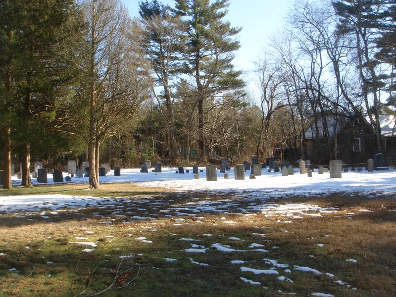
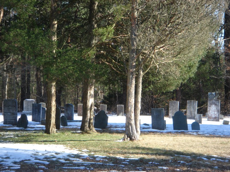
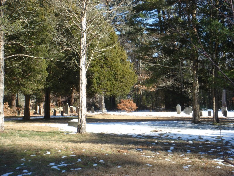
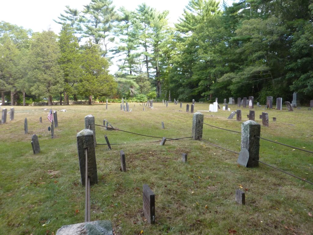
| Description | : | This is a town-owned cemetery. The earliest burial is not known. This is a Quaker cemetery, and most graves are not marked. A monument here reads: WITHIN THIS ENCLOSURE LIE THE REMAINS OF 326 FRIENDS 200 x 67 FEET This cemetery is located across the street from the North Marion Cemetery. The Massachusetts Historical Commission refers to this cemetery in MACRIS as MRN800. This burial place is referenced to in the book "Vital Records of Rochester, Massachusetts to 1850", Published by the New England Historic Genealogical Society, as G.R.12. The town of Marion separated from the town... Read More |
frequently asked questions (FAQ):
-
Where is Friends Burial Ground?
Friends Burial Ground is located at County Road Marion, Plymouth County ,Massachusetts ,USA.
-
Friends Burial Ground cemetery's updated grave count on graveviews.com?
142 memorials
-
Where are the coordinates of the Friends Burial Ground?
Latitude: 41.7279129
Longitude: -70.7757416
Nearby Cemetories:
1. North Marion Cemetery
Marion, Plymouth County, USA
Coordinate: 41.7280884, -70.7763062
2. Little Neck Cemetery
Marion, Plymouth County, USA
Coordinate: 41.7175200, -70.7624900
3. Old Landing Cemetery
Marion, Plymouth County, USA
Coordinate: 41.7103004, -70.7707977
4. Perry Family Cemetery
Rochester, Plymouth County, USA
Coordinate: 41.7501840, -70.7914780
5. Saint Gabriels Episcopal Memorial Garden
Marion, Plymouth County, USA
Coordinate: 41.7020200, -70.7626500
6. Evergreen Cemetery
Marion, Plymouth County, USA
Coordinate: 41.6985435, -70.7698517
7. Center Cemetery
Rochester, Plymouth County, USA
Coordinate: 41.7301530, -70.8185830
8. Blankenship Cemetery
Marion, Plymouth County, USA
Coordinate: 41.7076200, -70.7392100
9. Point Road Memorial Forest
Marion, Plymouth County, USA
Coordinate: 41.7071400, -70.7385050
10. Union Cemetery
Rochester, Plymouth County, USA
Coordinate: 41.7573640, -70.8202030
11. Hillside Cemetery
Rochester, Plymouth County, USA
Coordinate: 41.7750015, -70.7889023
12. Tobey-Fearing-Bliss Cemetery (Defunct)
Wareham, Plymouth County, USA
Coordinate: 41.7722600, -70.7464100
13. Ellis Family Burial Ground
Rochester, Plymouth County, USA
Coordinate: 41.7105620, -70.8397580
14. Centre Cemetery
Wareham, Plymouth County, USA
Coordinate: 41.7708015, -70.7277985
15. Saint Patricks Cemetery
Wareham, Plymouth County, USA
Coordinate: 41.7703018, -70.7264023
16. Woodside Cemetery
Rochester, Plymouth County, USA
Coordinate: 41.7848816, -70.7774887
17. Friends Cemetery
Mattapoisett, Plymouth County, USA
Coordinate: 41.6658110, -70.7838390
18. Saint Anthonys Cemetery
Mattapoisett, Plymouth County, USA
Coordinate: 41.6781060, -70.8271560
19. Howse Family Burial Ground
Rochester, Plymouth County, USA
Coordinate: 41.7262300, -70.8632760
20. Agawam Cemetery
Wareham, Plymouth County, USA
Coordinate: 41.7463989, -70.6908035
21. Pine Island Cemetery
Mattapoisett, Plymouth County, USA
Coordinate: 41.6624947, -70.7928925
22. Ellis Cemetery
Mattapoisett, Plymouth County, USA
Coordinate: 41.6957817, -70.8545609
23. Sherman Cemetery
Rochester, Plymouth County, USA
Coordinate: 41.7467728, -70.8678284
24. Barlow Cemetery
Mattapoisett, Plymouth County, USA
Coordinate: 41.6641045, -70.8232269