
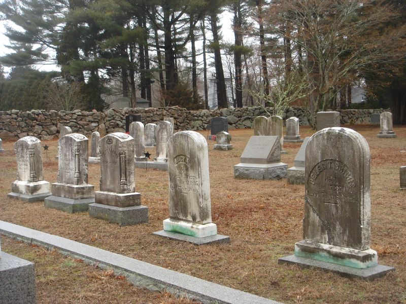
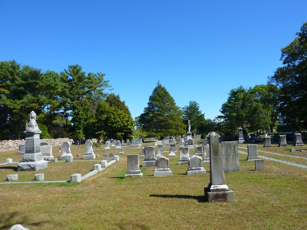
| Memorials | : | 852 |
| Location | : | Marion, Plymouth County, USA |
| Coordinate | : | 41.7103004, -70.7707977 |
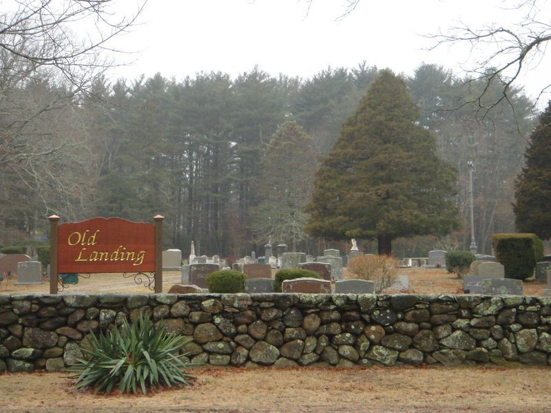
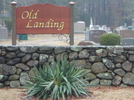
| Description | : | This is a town-owned cemetery. It was established about 1810. The Massachusetts Historical Commission refers to this cemetery in MACRIS as MRN803. This burial place is referenced to in the book "Vital Records of Rochester, Massachusetts to 1850", Published by the New England Historic Genealogical Society, as G.R.14. The town of Marion separated from the town of Rochester in 1852. This burial place is referenced to in the book "Old Cemeteries of Southeastern Massachusetts" by Charles M Thatcher as "Cemetery at Marion on the back road". |
frequently asked questions (FAQ):
-
Where is Old Landing Cemetery?
Old Landing Cemetery is located at Mill Street (Route 6) or Spring Street Marion, Plymouth County ,Massachusetts ,USA.
-
Old Landing Cemetery cemetery's updated grave count on graveviews.com?
845 memorials
-
Where are the coordinates of the Old Landing Cemetery?
Latitude: 41.7103004
Longitude: -70.7707977
Nearby Cemetories:
1. Little Neck Cemetery
Marion, Plymouth County, USA
Coordinate: 41.7175200, -70.7624900
2. Saint Gabriels Episcopal Memorial Garden
Marion, Plymouth County, USA
Coordinate: 41.7020200, -70.7626500
3. Evergreen Cemetery
Marion, Plymouth County, USA
Coordinate: 41.6985435, -70.7698517
4. Friends Burial Ground
Marion, Plymouth County, USA
Coordinate: 41.7279129, -70.7757416
5. North Marion Cemetery
Marion, Plymouth County, USA
Coordinate: 41.7280884, -70.7763062
6. Blankenship Cemetery
Marion, Plymouth County, USA
Coordinate: 41.7076200, -70.7392100
7. Point Road Memorial Forest
Marion, Plymouth County, USA
Coordinate: 41.7071400, -70.7385050
8. Center Cemetery
Rochester, Plymouth County, USA
Coordinate: 41.7301530, -70.8185830
9. Perry Family Cemetery
Rochester, Plymouth County, USA
Coordinate: 41.7501840, -70.7914780
10. Friends Cemetery
Mattapoisett, Plymouth County, USA
Coordinate: 41.6658110, -70.7838390
11. Pine Island Cemetery
Mattapoisett, Plymouth County, USA
Coordinate: 41.6624947, -70.7928925
12. Ellis Family Burial Ground
Rochester, Plymouth County, USA
Coordinate: 41.7105620, -70.8397580
13. Saint Anthonys Cemetery
Mattapoisett, Plymouth County, USA
Coordinate: 41.6781060, -70.8271560
14. Union Cemetery
Rochester, Plymouth County, USA
Coordinate: 41.7573640, -70.8202030
15. Barlow Cemetery
Mattapoisett, Plymouth County, USA
Coordinate: 41.6641045, -70.8232269
16. Cushing Cemetery
Mattapoisett, Plymouth County, USA
Coordinate: 41.6624985, -70.8255997
17. Ellis Cemetery
Mattapoisett, Plymouth County, USA
Coordinate: 41.6957817, -70.8545609
18. Tobey-Fearing-Bliss Cemetery (Defunct)
Wareham, Plymouth County, USA
Coordinate: 41.7722600, -70.7464100
19. Hillside Cemetery
Rochester, Plymouth County, USA
Coordinate: 41.7750015, -70.7889023
20. Hammond Cemetery
Mattapoisett, Plymouth County, USA
Coordinate: 41.6638300, -70.8351500
21. Centre Cemetery
Wareham, Plymouth County, USA
Coordinate: 41.7708015, -70.7277985
22. Saint Patricks Cemetery
Wareham, Plymouth County, USA
Coordinate: 41.7703018, -70.7264023
23. Agawam Cemetery
Wareham, Plymouth County, USA
Coordinate: 41.7463989, -70.6908035
24. Howse Family Burial Ground
Rochester, Plymouth County, USA
Coordinate: 41.7262300, -70.8632760