
| Memorials | : | 107 |
| Location | : | York, York Unitary Authority, England |
| Coordinate | : | 53.9478920, -1.0618450 |
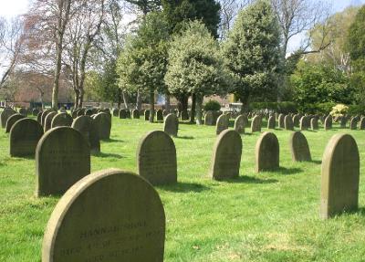
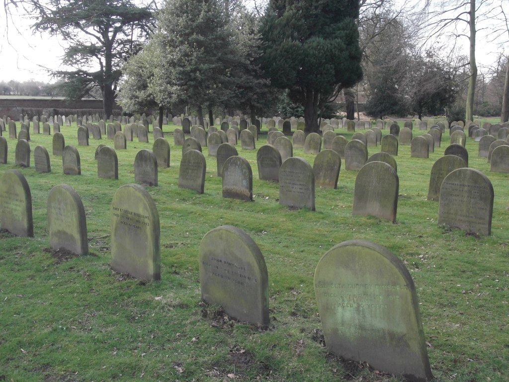
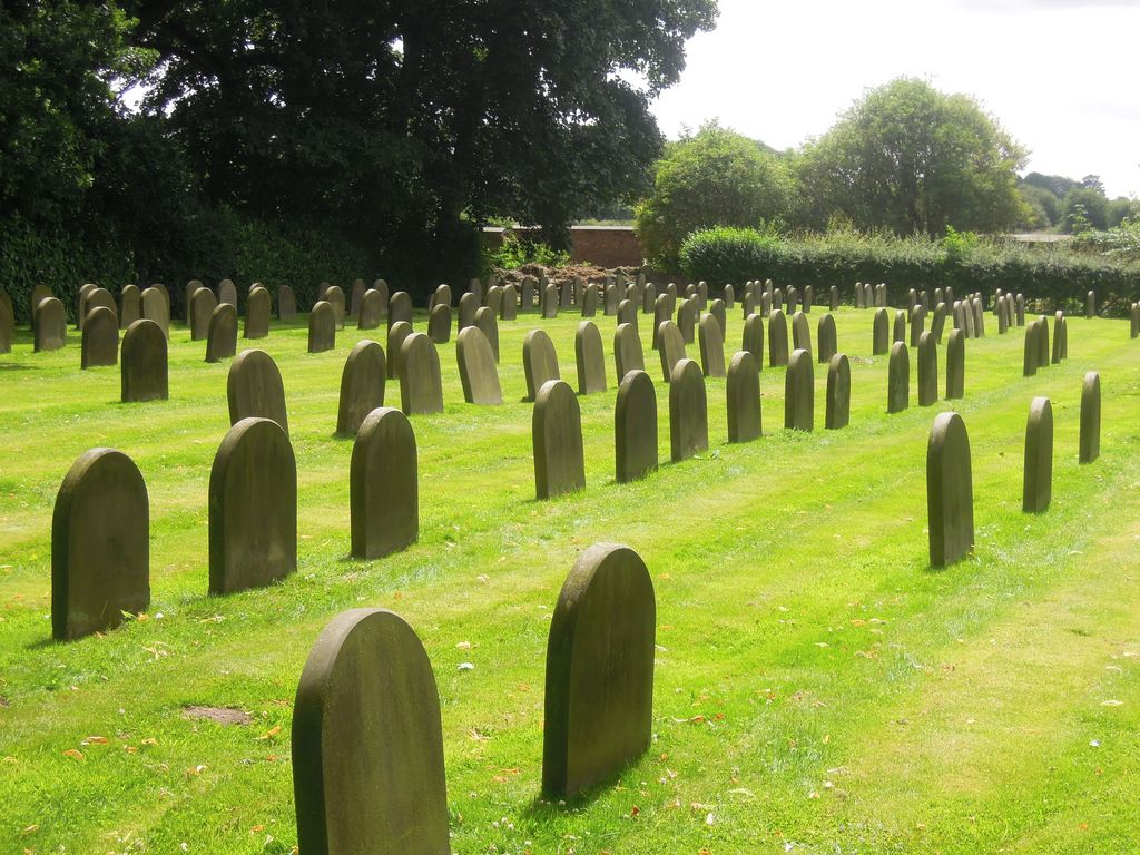
| Description | : | The burial ground was established in 1855 for the joint use of The Retreat and York Preparative Meeting. The land lies at the far end of the extensive wooded grounds of the hospital and can be accessed freely. Friends have rights of burial in perpetuity. Friargate Quaker Meeting takes responsibility for oversight of the burial ground which has recently been extended for the second time, and meets the costs of maintenance provided by The Retreat. All stones have to be of a standard type. The ground is reached by taking the entrance to The Retreat on Heslington Road and using the driveways down... Read More |
frequently asked questions (FAQ):
-
Where is Friends Burial Ground?
Friends Burial Ground is located at The Retreat Hospital, 107 Heslington Road York, York Unitary Authority ,North Yorkshire , YO10 5BNEngland.
-
Friends Burial Ground cemetery's updated grave count on graveviews.com?
107 memorials
-
Where are the coordinates of the Friends Burial Ground?
Latitude: 53.9478920
Longitude: -1.0618450
Nearby Cemetories:
1. York Cemetery
York, York Unitary Authority, England
Coordinate: 53.9503960, -1.0723530
2. St Edward's-without-Walmgate (Defunct)
York, York Unitary Authority, England
Coordinate: 53.9547280, -1.0657383
3. St. Lawrence's Churchyard
York, York Unitary Authority, England
Coordinate: 53.9540530, -1.0688730
4. St Helen Churchyard
York, York Unitary Authority, England
Coordinate: 53.9509330, -1.0753630
5. St Paul Churchyard
Heslington, York Unitary Authority, England
Coordinate: 53.9471780, -1.0445150
6. St George Churchyard
York, York Unitary Authority, England
Coordinate: 53.9548420, -1.0757670
7. St Margaret Churchyard
York, York Unitary Authority, England
Coordinate: 53.9565370, -1.0729530
8. York Castle Prison Cemetery
York, York Unitary Authority, England
Coordinate: 53.9551950, -1.0782660
9. St Denys Churchyard
York, York Unitary Authority, England
Coordinate: 53.9567080, -1.0762240
10. St Clement Priory Churchyard (Defunct)
York, York Unitary Authority, England
Coordinate: 53.9524710, -1.0827970
11. Greyfriars Abbey Church (Defunct)
York, York Unitary Authority, England
Coordinate: 53.9553090, -1.0814240
12. St John Churchyard
York, York Unitary Authority, England
Coordinate: 53.9591850, -1.0761680
13. St Oswald's Old Churchyard
Fulford, York Unitary Authority, England
Coordinate: 53.9391350, -1.0809020
14. St. Mary Castlegate Churchyard
York, York Unitary Authority, England
Coordinate: 53.9570800, -1.0804370
15. All Saints Peasholme (Defunct)
York, York Unitary Authority, England
Coordinate: 53.9597200, -1.0759220
16. St Crux Hungate Burial Ground
York, York Unitary Authority, England
Coordinate: 53.9593540, -1.0774470
17. St Saviour Churchyard
York, York Unitary Authority, England
Coordinate: 53.9596100, -1.0780000
18. All Saints Pavement Churchyard
York, York Unitary Authority, England
Coordinate: 53.9581090, -1.0808820
19. Friends Burial Ground
York, York Unitary Authority, England
Coordinate: 53.9550140, -1.0846700
20. St Crux Churchyard
York, York Unitary Authority, England
Coordinate: 53.9589890, -1.0795460
21. St Cuthbert Churchyard
York, York Unitary Authority, England
Coordinate: 53.9609180, -1.0752310
22. Central Methodist Hall
York, York Unitary Authority, England
Coordinate: 53.9594090, -1.0788330
23. St Clement Church
York, York Unitary Authority, England
Coordinate: 53.9511660, -1.0871720
24. St Mary Bishophill Senior Churchyard
York, York Unitary Authority, England
Coordinate: 53.9551780, -1.0849680