
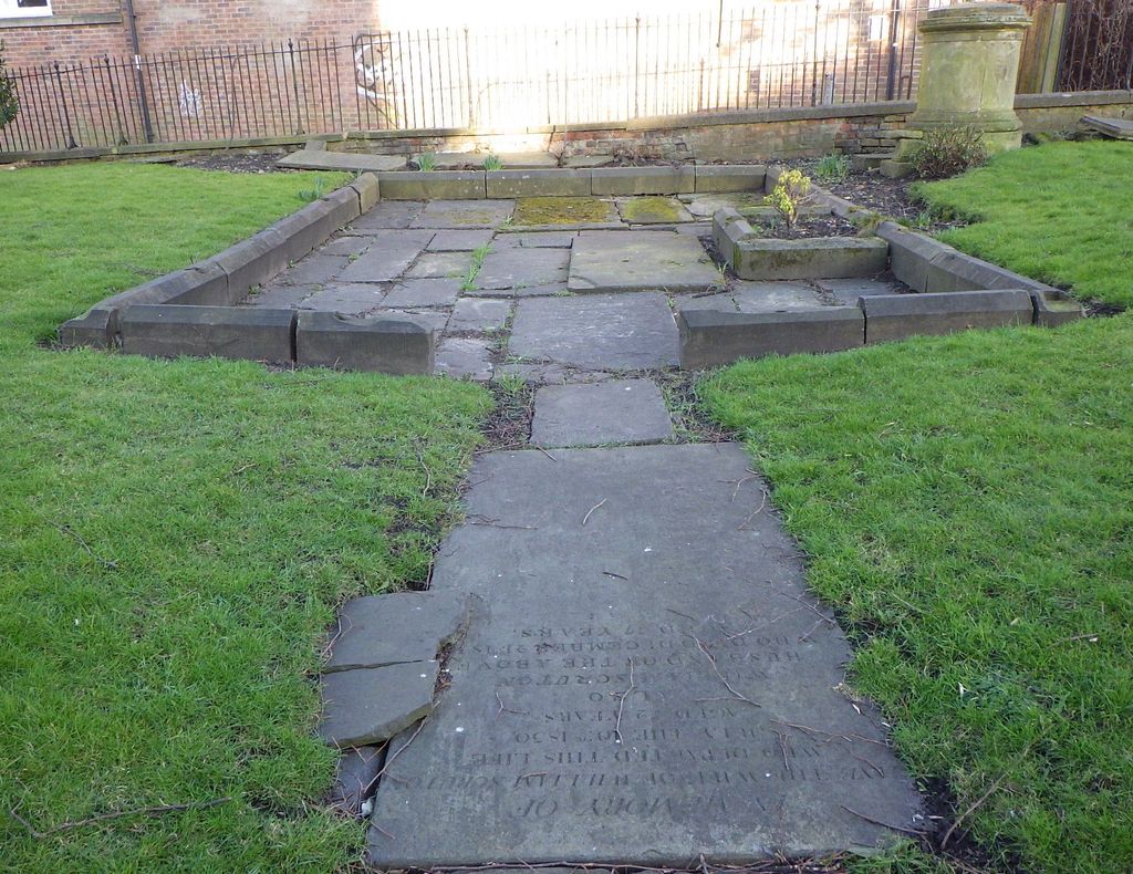
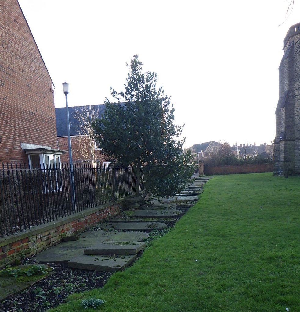
| Memorials | : | 19 |
| Location | : | York, York Unitary Authority, England |
| Coordinate | : | 53.9540530, -1.0688730 |
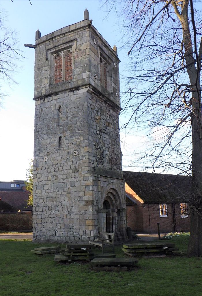
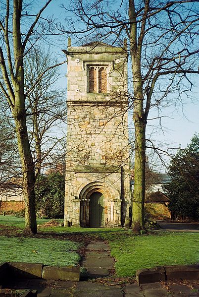
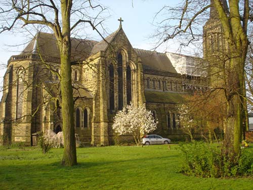
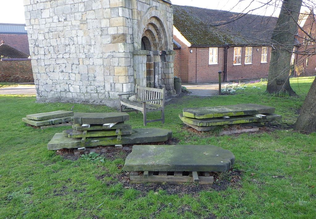
| Description | : | The present church is Victorian, but in its churchyard is the small tower of its predecessor (in which Sir John Vanbrugh was married in 1719). This dates back to the twelfth century, although its top storey was added in the early sixteenth century. The tower, which is in the care of the Churches Conservation Trust, has an impressive Norman doorway, formerly one of the entrances to the nave Burial registers for the St Lawrence parish cover the period 1606 to 1867. These have been deposited with the Borthwick Institute for Archives, University of York, Heslington, York, YO10 5DD. Like... Read More |
frequently asked questions (FAQ):
-
Where is St. Lawrence's Churchyard?
St. Lawrence's Churchyard is located at Lawrence Street York, York Unitary Authority ,North Yorkshire , YO10 3BNEngland.
-
St. Lawrence's Churchyard cemetery's updated grave count on graveviews.com?
19 memorials
-
Where are the coordinates of the St. Lawrence's Churchyard?
Latitude: 53.9540530
Longitude: -1.0688730
Nearby Cemetories:
1. St Edward's-without-Walmgate (Defunct)
York, York Unitary Authority, England
Coordinate: 53.9547280, -1.0657383
2. St Margaret Churchyard
York, York Unitary Authority, England
Coordinate: 53.9565370, -1.0729530
3. St George Churchyard
York, York Unitary Authority, England
Coordinate: 53.9548420, -1.0757670
4. York Cemetery
York, York Unitary Authority, England
Coordinate: 53.9503960, -1.0723530
5. St Helen Churchyard
York, York Unitary Authority, England
Coordinate: 53.9509330, -1.0753630
6. St Denys Churchyard
York, York Unitary Authority, England
Coordinate: 53.9567080, -1.0762240
7. York Castle Prison Cemetery
York, York Unitary Authority, England
Coordinate: 53.9551950, -1.0782660
8. St John Churchyard
York, York Unitary Authority, England
Coordinate: 53.9591850, -1.0761680
9. All Saints Peasholme (Defunct)
York, York Unitary Authority, England
Coordinate: 53.9597200, -1.0759220
10. St Crux Hungate Burial Ground
York, York Unitary Authority, England
Coordinate: 53.9593540, -1.0774470
11. Friends Burial Ground
York, York Unitary Authority, England
Coordinate: 53.9478920, -1.0618450
12. St. Mary Castlegate Churchyard
York, York Unitary Authority, England
Coordinate: 53.9570800, -1.0804370
13. Greyfriars Abbey Church (Defunct)
York, York Unitary Authority, England
Coordinate: 53.9553090, -1.0814240
14. St Saviour Churchyard
York, York Unitary Authority, England
Coordinate: 53.9596100, -1.0780000
15. St Cuthbert Churchyard
York, York Unitary Authority, England
Coordinate: 53.9609180, -1.0752310
16. Central Methodist Hall
York, York Unitary Authority, England
Coordinate: 53.9594090, -1.0788330
17. St Crux Churchyard
York, York Unitary Authority, England
Coordinate: 53.9589890, -1.0795460
18. York Unitarian Chapelyard
York, York Unitary Authority, England
Coordinate: 53.9602950, -1.0775710
19. All Saints Pavement Churchyard
York, York Unitary Authority, England
Coordinate: 53.9581090, -1.0808820
20. St Clement Priory Churchyard (Defunct)
York, York Unitary Authority, England
Coordinate: 53.9524710, -1.0827970
21. Carmelite Friary of York (Defunct)
York, York Unitary Authority, England
Coordinate: 53.9577020, -1.0822860
22. Saint Peter's
York, York Unitary Authority, England
Coordinate: 53.9577400, -1.0822600
23. Holy Trinity Kings Court Churchyard
York, York Unitary Authority, England
Coordinate: 53.9599760, -1.0800800
24. St Michael Churchyard
York, York Unitary Authority, England
Coordinate: 53.9577900, -1.0825600