
| Memorials | : | 0 |
| Location | : | Saint Matthews, Jefferson County, USA |
| Coordinate | : | 38.2318130, -85.6408060 |
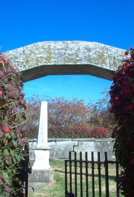
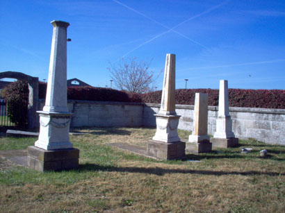
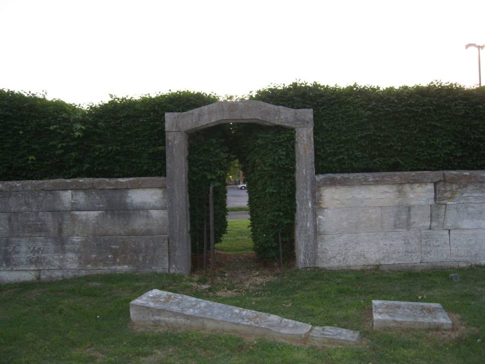
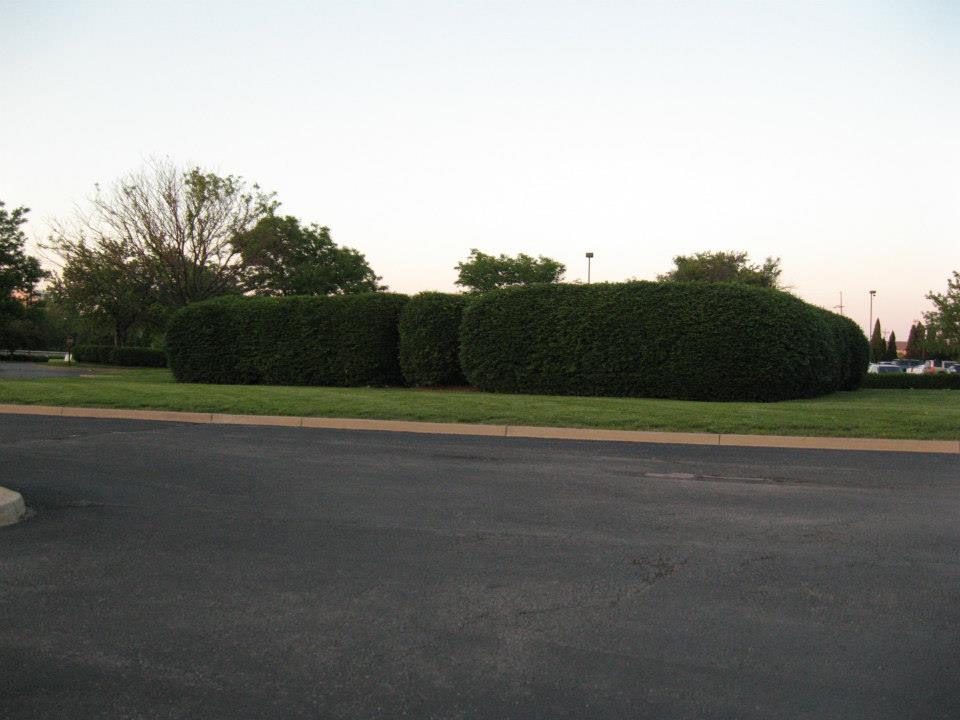
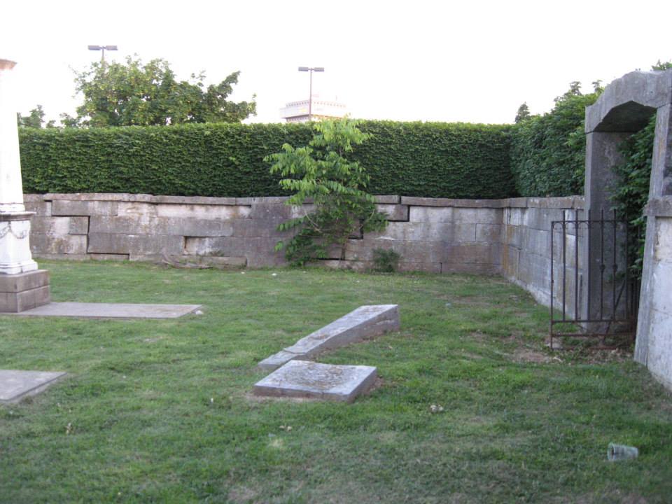
| Description | : | Located in the Springs parking lot. Hidden in plain sight in the middle of the parking lot of a suburban strip mall at the corner of Breckenridge Lane and Dutchmans Parkway is the Burks Family Burial Ground. The site is thoughtfully and skillfully maintained by the developer of the center. A small square surrounded on all sides by bushes, most people going to Red Lobster or Books-A-Million would never guess that this family resting place is in their midst. Entering through a break in the bushes, this graveyard, about the size of a half-block, reveals that the grass is cut, the... Read More |
frequently asked questions (FAQ):
-
Where is Burks Family Cemetery?
Burks Family Cemetery is located at Dutchmans Lane Saint Matthews, Jefferson County ,Kentucky , 40207USA.
-
Burks Family Cemetery cemetery's updated grave count on graveviews.com?
0 memorials
-
Where are the coordinates of the Burks Family Cemetery?
Latitude: 38.2318130
Longitude: -85.6408060
Nearby Cemetories:
1. Floyd-Breckinridge Cemetery
Plymouth Village, Jefferson County, USA
Coordinate: 38.2366982, -85.6489029
2. Brown Family Cemetery
Saint Matthews, Jefferson County, USA
Coordinate: 38.2375660, -85.6331750
3. Parks Cemetery
Plymouth Village, Jefferson County, USA
Coordinate: 38.2377280, -85.6486690
4. Hikes Cemetery
Jefferson County, USA
Coordinate: 38.2129790, -85.6373220
5. Bullitt Family Cemetery
Louisville, Jefferson County, USA
Coordinate: 38.2463450, -85.6135210
6. Arterburn Cemetery
Saint Matthews, Jefferson County, USA
Coordinate: 38.2552000, -85.6609900
7. Kennedy Graveyard
Louisville, Jefferson County, USA
Coordinate: 38.2261920, -85.6049040
8. Doup Family Cemetery
Louisville, Jefferson County, USA
Coordinate: 38.2211500, -85.6821200
9. Louisville Presbyterian Seminary Memorial Garden
Louisville, Jefferson County, USA
Coordinate: 38.2387380, -85.6861190
10. Hikes Cemetery
Newburg, Jefferson County, USA
Coordinate: 38.1979310, -85.6597710
11. Christ Church United Methodist Memorial Garden
Louisville, Jefferson County, USA
Coordinate: 38.2740750, -85.6446790
12. Herr Cemetery #3
Louisville, Jefferson County, USA
Coordinate: 38.2756430, -85.6391020
13. Funk Cemetery
Forest Hills, Jefferson County, USA
Coordinate: 38.2153500, -85.5878160
14. Resthaven Memorial Cemetery
Louisville, Jefferson County, USA
Coordinate: 38.1850014, -85.6342468
15. Lawrence Family Cemetery
Hurstbourne, Jefferson County, USA
Coordinate: 38.2515259, -85.5847015
16. Community of Christ Scripture Garden
Forest Hills, Jefferson County, USA
Coordinate: 38.2117500, -85.5834480
17. Anderson Family Cemetery
Louisville, Jefferson County, USA
Coordinate: 38.2356520, -85.5775420
18. Green Haven Cemetery Of Louisville
Louisville, Jefferson County, USA
Coordinate: 38.1806810, -85.6372500
19. Petersburg Newburg Cemetery
Jefferson County, USA
Coordinate: 38.1846660, -85.6674710
20. Garr Family Cemetery
Louisville, Jefferson County, USA
Coordinate: 38.2319880, -85.5745940
21. Hackberry Cemetery
Louisville, Jefferson County, USA
Coordinate: 38.2514500, -85.7032170
22. Prather Cemetery
Louisville, Jefferson County, USA
Coordinate: 38.2096570, -85.7075220
23. Phillips-Durrett-Clark Cemetery
Louisville, Jefferson County, USA
Coordinate: 38.2052780, -85.7052780
24. Calvary Cemetery
Louisville, Jefferson County, USA
Coordinate: 38.2256300, -85.7134700