
| Memorials | : | 0 |
| Location | : | Starnberg, Landkreis Starnberg, Germany |
| Coordinate | : | 48.0004616, 11.3668032 |
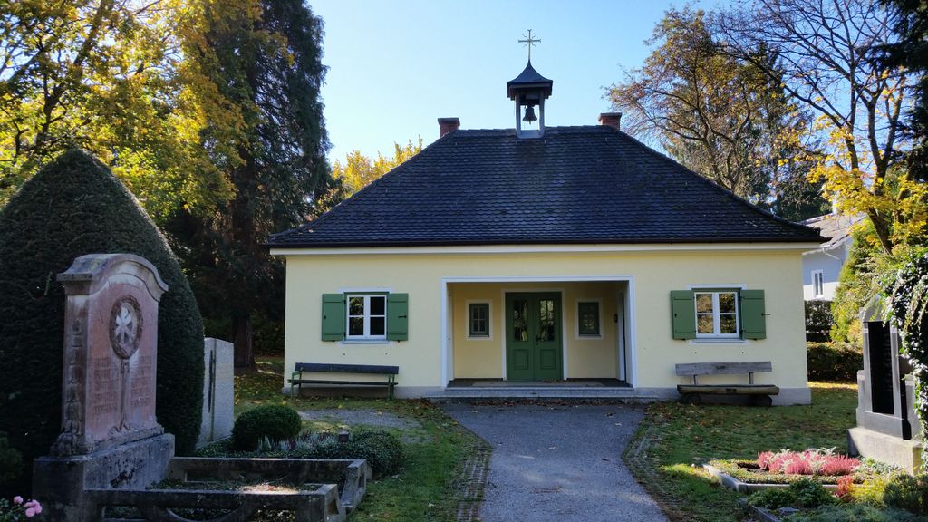
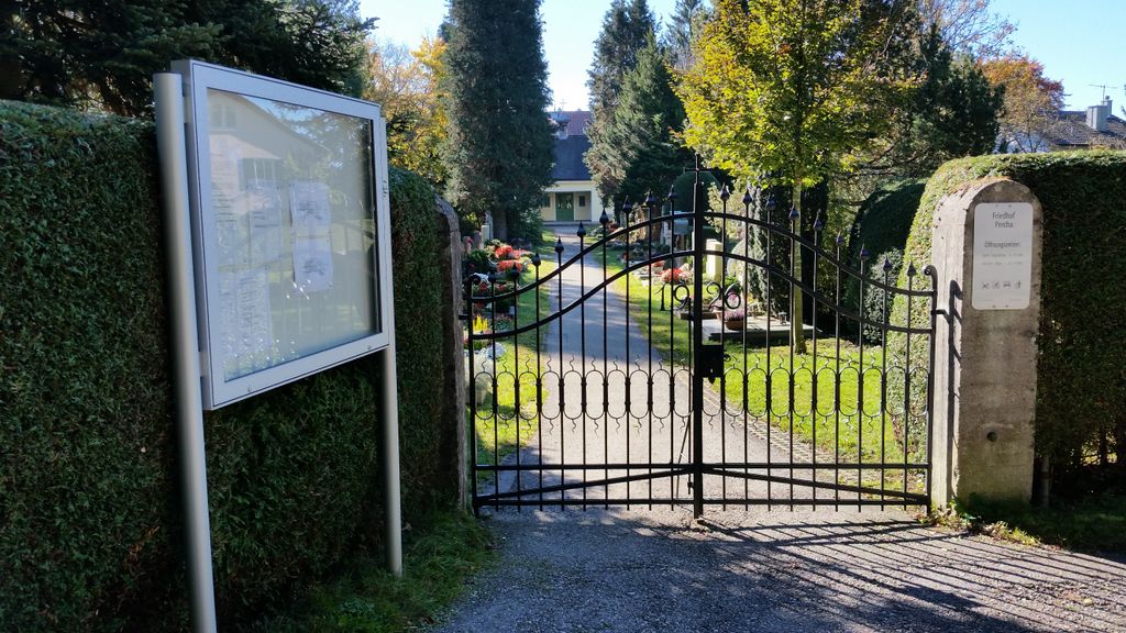
| Description | : | Administration: Landratsamt Starnberg Friedhofsverwaltung Strandbadstraße 2 82319 Starnberg Gemeindefriedhof Percha (Community Cemetery in Percha), located at Kreuzstrasse; Percha is a suburb of Starnberg. Starnberg is located at the Northern tip of Lake Starnberg (Starnberger See), about 30km South of Munich. Please note that the graves in Germany are not perpetual. After a certain period of repose (5-15 years) the graves are being leveled and re-used. There is no toxic embalming being done in Germany, so the coffin and the corpse have decomposed naturally. If the family of the deceased decides to purchase another period the duration can be extended by another 15 years. War Graves are... Read More |
frequently asked questions (FAQ):
-
Where is Gemeindefriedhof Starnberg - Percha?
Gemeindefriedhof Starnberg - Percha is located at Kreuzstrasse Starnberg, Landkreis Starnberg ,Bavaria (Bayern) ,Germany.
-
Gemeindefriedhof Starnberg - Percha cemetery's updated grave count on graveviews.com?
0 memorials
-
Where are the coordinates of the Gemeindefriedhof Starnberg - Percha?
Latitude: 48.0004616
Longitude: 11.3668032
Nearby Cemetories:
1. Sankt Valentin Dorfkirche
Starnberg, Landkreis Starnberg, Germany
Coordinate: 47.9987640, 11.3646330
2. Friedhof Hanfelderstrasse
Starnberg, Landkreis Starnberg, Germany
Coordinate: 48.0041100, 11.3400000
3. Starnberg-St. Josefs Kirche
Starnberg, Landkreis Starnberg, Germany
Coordinate: 47.9977130, 11.3382250
4. Starnberg-Waldfriedhof
Starnberg, Landkreis Starnberg, Germany
Coordinate: 48.0146800, 11.3453700
5. Starnberg - Friedhof Wangen St. Ulrich
Wangen, Landkreis Starnberg, Germany
Coordinate: 48.0113419, 11.4031405
6. Friedhof Gut Rieden. Starnberg
Starnberg, Landkreis Starnberg, Germany
Coordinate: 48.0248642, 11.3478146
7. St. Alto Kirchhof
Starnberg, Landkreis Starnberg, Germany
Coordinate: 48.0291040, 11.3669780
8. Friedhof Leutstetten
Starnberg, Landkreis Starnberg, Germany
Coordinate: 48.0291634, 11.3668804
9. Friedhof Söcking
Starnberg, Landkreis Starnberg, Germany
Coordinate: 48.0042229, 11.3223982
10. Mausoleum Söcking
Starnberg, Landkreis Starnberg, Germany
Coordinate: 48.0026436, 11.3202034
11. Friedhof Aufkirchen
Berg am See, Landkreis Starnberg, Germany
Coordinate: 47.9570190, 11.3611760
12. Friedhof Hausen an der Dreifaltigkeitskriche
Gauting, Landkreis Starnberg, Germany
Coordinate: 48.0432190, 11.3306130
13. St. Bartholomäus Kirchhof Maising
Maising, Landkreis Starnberg, Germany
Coordinate: 47.9861107, 11.2893600
14. Alter Friedhof Pöcking
Pocking, Landkreis Starnberg, Germany
Coordinate: 47.9673424, 11.3019686
15. Neuer Friedhof Pöcking
Pocking, Landkreis Starnberg, Germany
Coordinate: 47.9680099, 11.2987900
16. Friedhof Zell-Ebenhausen
Schaftlarn, Landkreis München, Germany
Coordinate: 47.9803000, 11.4465100
17. Kirchhof St. Anian
Irschenhausen, Landkreis Bad Tölz-Wolfratshausen, Germany
Coordinate: 47.9672340, 11.4362170
18. Friedhof Schäftlarn
Schaftlarn, Landkreis München, Germany
Coordinate: 47.9923060, 11.4517440
19. Friedhof Oberbrunn
Gauting, Landkreis Starnberg, Germany
Coordinate: 48.0502420, 11.3159280
20. Waldfriedhof
Icking, Landkreis Bad Tölz-Wolfratshausen, Germany
Coordinate: 47.9573740, 11.4303350
21. Friedhof Buchendorf
Gauting, Landkreis Starnberg, Germany
Coordinate: 48.0570570, 11.4026510
22. Friedhof Perchting
Starnberg, Landkreis Starnberg, Germany
Coordinate: 48.0003777, 11.2748775
23. Kirchhof Heilig Kreuz
Icking, Landkreis Bad Tölz-Wolfratshausen, Germany
Coordinate: 47.9522550, 11.4381050
24. Marienkirche Gauting
Gauting, Landkreis Starnberg, Germany
Coordinate: 48.0680700, 11.3787900