
| Memorials | : | 0 |
| Location | : | Starnberg, Landkreis Starnberg, Germany |
| Coordinate | : | 48.0041100, 11.3400000 |
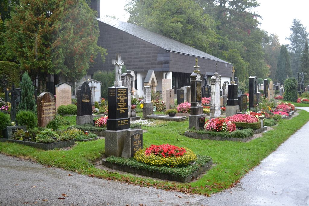
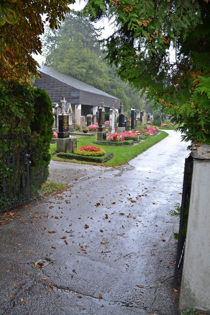
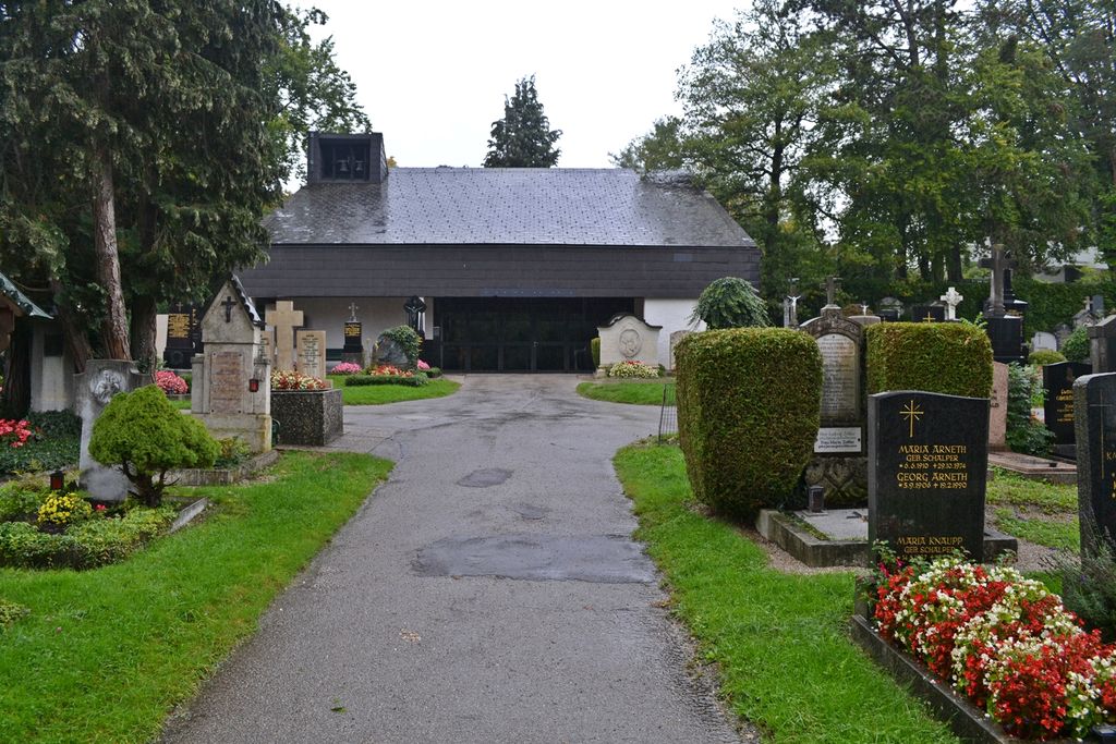
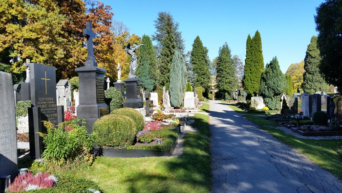
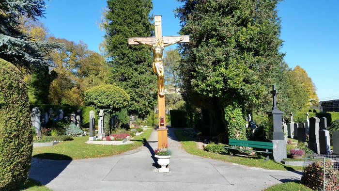
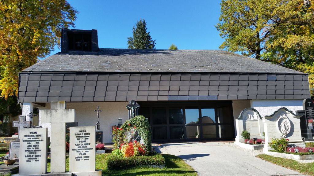
| Description | : | Administration: Landratsamt Starnberg Friedhofsverwaltung Strandbadstraße 2 82319 Starnberg The cemetery at Hanfelder Strasse (established in the middle of the 19th century) is the newest of all municipal cemeteries in Starnberg, the capital of Starnberg County, located at the northern tip of the Bavarian Lake Starnberg with a population of about 23,000 people. The city manages 46 municipal cemeteries. When visiting this cemetery please be advised that parking along the very busy Hanfelder Strasse is limited. Parking in a side street would be the better option. Please note that the graves in Germany are not perpetual. After a certain period of repose (5-40 years for this... Read More |
frequently asked questions (FAQ):
-
Where is Friedhof Hanfelderstrasse?
Friedhof Hanfelderstrasse is located at Hanfelderstr. 40a Starnberg, Landkreis Starnberg ,Bavaria (Bayern) , 82319Germany.
-
Friedhof Hanfelderstrasse cemetery's updated grave count on graveviews.com?
0 memorials
-
Where are the coordinates of the Friedhof Hanfelderstrasse?
Latitude: 48.0041100
Longitude: 11.3400000
Nearby Cemetories:
1. Starnberg-St. Josefs Kirche
Starnberg, Landkreis Starnberg, Germany
Coordinate: 47.9977130, 11.3382250
2. Starnberg-Waldfriedhof
Starnberg, Landkreis Starnberg, Germany
Coordinate: 48.0146800, 11.3453700
3. Friedhof Söcking
Starnberg, Landkreis Starnberg, Germany
Coordinate: 48.0042229, 11.3223982
4. Mausoleum Söcking
Starnberg, Landkreis Starnberg, Germany
Coordinate: 48.0026436, 11.3202034
5. Sankt Valentin Dorfkirche
Starnberg, Landkreis Starnberg, Germany
Coordinate: 47.9987640, 11.3646330
6. Gemeindefriedhof Starnberg - Percha
Starnberg, Landkreis Starnberg, Germany
Coordinate: 48.0004616, 11.3668032
7. Friedhof Gut Rieden. Starnberg
Starnberg, Landkreis Starnberg, Germany
Coordinate: 48.0248642, 11.3478146
8. St. Alto Kirchhof
Starnberg, Landkreis Starnberg, Germany
Coordinate: 48.0291040, 11.3669780
9. Friedhof Leutstetten
Starnberg, Landkreis Starnberg, Germany
Coordinate: 48.0291634, 11.3668804
10. St. Bartholomäus Kirchhof Maising
Maising, Landkreis Starnberg, Germany
Coordinate: 47.9861107, 11.2893600
11. Friedhof Hausen an der Dreifaltigkeitskriche
Gauting, Landkreis Starnberg, Germany
Coordinate: 48.0432190, 11.3306130
12. Starnberg - Friedhof Wangen St. Ulrich
Wangen, Landkreis Starnberg, Germany
Coordinate: 48.0113419, 11.4031405
13. Friedhof Perchting
Starnberg, Landkreis Starnberg, Germany
Coordinate: 48.0003777, 11.2748775
14. Alter Friedhof Pöcking
Pocking, Landkreis Starnberg, Germany
Coordinate: 47.9673424, 11.3019686
15. Neuer Friedhof Pöcking
Pocking, Landkreis Starnberg, Germany
Coordinate: 47.9680099, 11.2987900
16. Friedhof Oberbrunn
Gauting, Landkreis Starnberg, Germany
Coordinate: 48.0502420, 11.3159280
17. Friedhof Aufkirchen
Berg am See, Landkreis Starnberg, Germany
Coordinate: 47.9570190, 11.3611760
18. Friedhof Feldafing
Feldafing, Landkreis Starnberg, Germany
Coordinate: 47.9526900, 11.2943300
19. Jüdischer Friedhof Feldafing
Feldafing, Landkreis Starnberg, Germany
Coordinate: 47.9525620, 11.2938840
20. Friedhof Unterbrunn
Gauting, Landkreis Starnberg, Germany
Coordinate: 48.0657200, 11.3220630
21. Friedhof Aschering
Pocking, Landkreis Starnberg, Germany
Coordinate: 47.9659958, 11.2569561
22. Friedhof Buchendorf
Gauting, Landkreis Starnberg, Germany
Coordinate: 48.0570570, 11.4026510
23. Marienkirche Gauting
Gauting, Landkreis Starnberg, Germany
Coordinate: 48.0680700, 11.3787900
24. Kirchhof St. Anian
Irschenhausen, Landkreis Bad Tölz-Wolfratshausen, Germany
Coordinate: 47.9672340, 11.4362170