
| Memorials | : | 0 |
| Location | : | Grape Grove Township, Ray County, USA |
| Coordinate | : | 39.4909286, -93.8144836 |
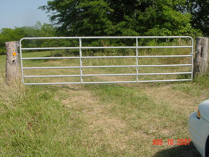
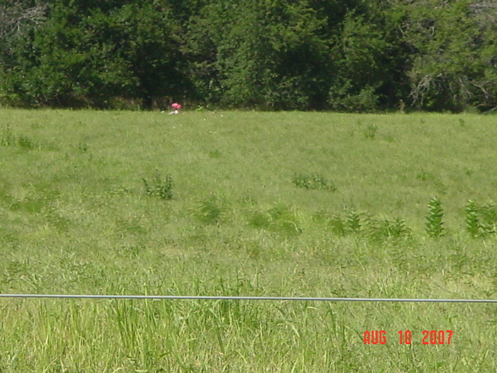
| Description | : | Cemetery established in 2007. First burial occurred June 18, 2007. |
frequently asked questions (FAQ):
-
Where is Graff Cemetery?
Graff Cemetery is located at Grape Grove Township, Ray County ,Missouri ,USA.
-
Graff Cemetery cemetery's updated grave count on graveviews.com?
0 memorials
-
Where are the coordinates of the Graff Cemetery?
Latitude: 39.4909286
Longitude: -93.8144836
Nearby Cemetories:
1. Elder Cemetery
Grape Grove Township, Ray County, USA
Coordinate: 39.5015259, -93.8108826
2. Tinney Grove Cemetery
Tinney Grove, Ray County, USA
Coordinate: 39.5066280, -93.8050000
3. Little Union Cemetery
Stet, Ray County, USA
Coordinate: 39.4972343, -93.8660507
4. Basham Cemetery
Ray County, USA
Coordinate: 39.4963400, -93.8810700
5. Silas Keith Cemetery
Regal, Ray County, USA
Coordinate: 39.4387800, -93.8262100
6. McBee Chapel Cemetery
Carroll County, USA
Coordinate: 39.5239983, -93.7559967
7. Black Oak Cemetery
Braymer, Caldwell County, USA
Coordinate: 39.5469017, -93.8403473
8. McCuistion Cemetery
Richmond, Ray County, USA
Coordinate: 39.4387300, -93.8550900
9. Old New Hope Cemetery
Millville, Ray County, USA
Coordinate: 39.4327200, -93.8435900
10. Tevalt-Northern Sympathizers Cemetery
Carroll County, USA
Coordinate: 39.4593010, -93.7379990
11. New Hope United Methodist Church Cemetery
Millville, Ray County, USA
Coordinate: 39.4236259, -93.8416061
12. Bethany Church Cemetery
Stet, Ray County, USA
Coordinate: 39.4230995, -93.7838974
13. Mount Olivet Cemetery
Stet, Carroll County, USA
Coordinate: 39.4366000, -93.7403000
14. Antioch Cemetery
Millville, Ray County, USA
Coordinate: 39.4563040, -93.9077420
15. Van Wall Cemetery
Grape Grove Township, Ray County, USA
Coordinate: 39.4513800, -93.9116700
16. Mansur Cemetery
Grape Grove Township, Ray County, USA
Coordinate: 39.4230003, -93.8804016
17. Oster Cemetery
Caldwell County, USA
Coordinate: 39.5684400, -93.7622100
18. Felix Wild Cemetery
Ray County, USA
Coordinate: 39.4398200, -93.9110700
19. Petree Cemetery
Taitsville, Ray County, USA
Coordinate: 39.4781700, -93.9315100
20. Low Gap Cemetery
Norborne, Carroll County, USA
Coordinate: 39.5244000, -93.7024000
21. Yoakum Cemetery
Richmond, Ray County, USA
Coordinate: 39.4909100, -93.9380500
22. Union Baptist Church Cemetery
Roads, Carroll County, USA
Coordinate: 39.4486008, -93.7021027
23. Nuckles Cemetery
Richmond, Ray County, USA
Coordinate: 39.4143700, -93.8950300
24. Carleton Cemetery
Ray County, USA
Coordinate: 39.4014200, -93.8712700