
| Memorials | : | 4 |
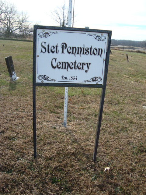
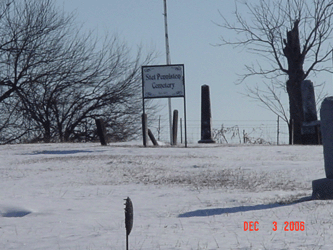
| Location | : | Stet, Ray County, USA |
| Coordinate | : | 39.4230995, -93.7838974 |
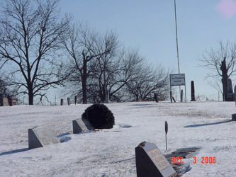
| Description | : | Located on Route K, one and one half mile from the Carroll and Ray County Line. On route 'K' 1.6 miles east of 'A' or 0.6 miles east of county road 134 established 1864; 1 grave 1862; about 148 marked graves, 3 unmarked |
frequently asked questions (FAQ):
-
Where is Bethany Church Cemetery?
Bethany Church Cemetery is located at Stet, Ray County ,Missouri ,USA.
-
Bethany Church Cemetery cemetery's updated grave count on graveviews.com?
4 memorials
-
Where are the coordinates of the Bethany Church Cemetery?
Latitude: 39.4230995
Longitude: -93.7838974
Nearby Cemetories:
1. Silas Keith Cemetery
Regal, Ray County, USA
Coordinate: 39.4387800, -93.8262100
2. Mount Olivet Cemetery
Stet, Carroll County, USA
Coordinate: 39.4366000, -93.7403000
3. New Hope United Methodist Church Cemetery
Millville, Ray County, USA
Coordinate: 39.4236259, -93.8416061
4. Old New Hope Cemetery
Millville, Ray County, USA
Coordinate: 39.4327200, -93.8435900
5. Tevalt-Northern Sympathizers Cemetery
Carroll County, USA
Coordinate: 39.4593010, -93.7379990
6. McCuistion Cemetery
Richmond, Ray County, USA
Coordinate: 39.4387300, -93.8550900
7. Woolard Cemetery
Hardin, Ray County, USA
Coordinate: 39.3769300, -93.8351500
8. Antioch Cemetery
Norborne, Carroll County, USA
Coordinate: 39.4083519, -93.7010498
9. Meinking-Wilson Cemetery
Ray County, USA
Coordinate: 39.3576200, -93.7995600
10. Union Baptist Church Cemetery
Roads, Carroll County, USA
Coordinate: 39.4486008, -93.7021027
11. Carleton Cemetery
Ray County, USA
Coordinate: 39.4014200, -93.8712700
12. Graff Cemetery
Grape Grove Township, Ray County, USA
Coordinate: 39.4909286, -93.8144836
13. Clark Cemetery
Hardin, Ray County, USA
Coordinate: 39.3499985, -93.7956009
14. Berry Cemetery
Hardin, Ray County, USA
Coordinate: 39.3913800, -93.8710800
15. Mansur Cemetery
Grape Grove Township, Ray County, USA
Coordinate: 39.4230003, -93.8804016
16. Smith Cemetery
Ray County, USA
Coordinate: 39.4028015, -93.8799973
17. Elder Cemetery
Grape Grove Township, Ray County, USA
Coordinate: 39.5015259, -93.8108826
18. Tinney Grove Cemetery
Tinney Grove, Ray County, USA
Coordinate: 39.5066280, -93.8050000
19. Wakenda Cemetery
Hardin, Ray County, USA
Coordinate: 39.3519300, -93.8456900
20. Providence Cemetery
Norborne, Carroll County, USA
Coordinate: 39.3511009, -93.7230988
21. Nuckles Cemetery
Richmond, Ray County, USA
Coordinate: 39.4143700, -93.8950300
22. Liberty Cemetery
Hardin, Ray County, USA
Coordinate: 39.3331800, -93.7667800
23. Little Union Cemetery
Stet, Ray County, USA
Coordinate: 39.4972343, -93.8660507
24. Felix Wild Cemetery
Ray County, USA
Coordinate: 39.4398200, -93.9110700