
| Memorials | : | 1954 |
| Location | : | Scio, Harrison County, USA |
| Coordinate | : | 40.3903008, -81.0978012 |
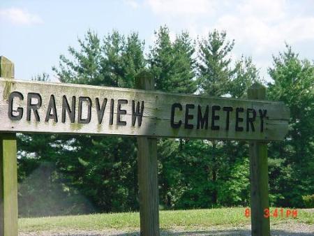
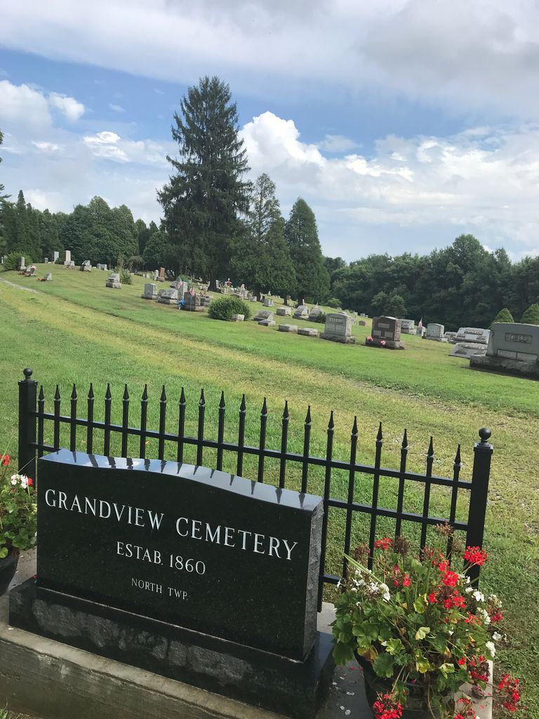
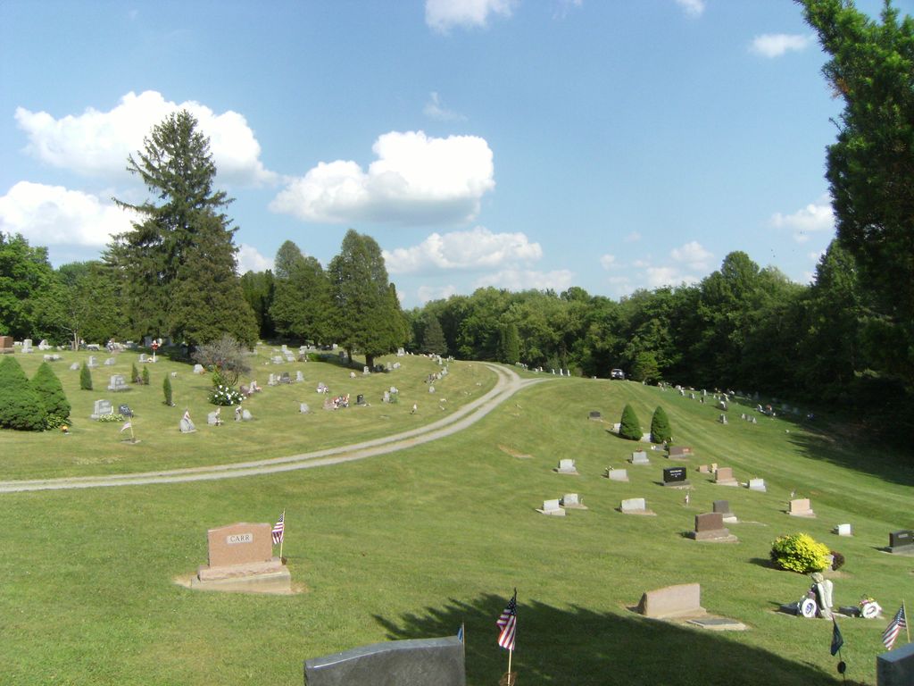
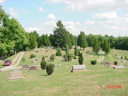
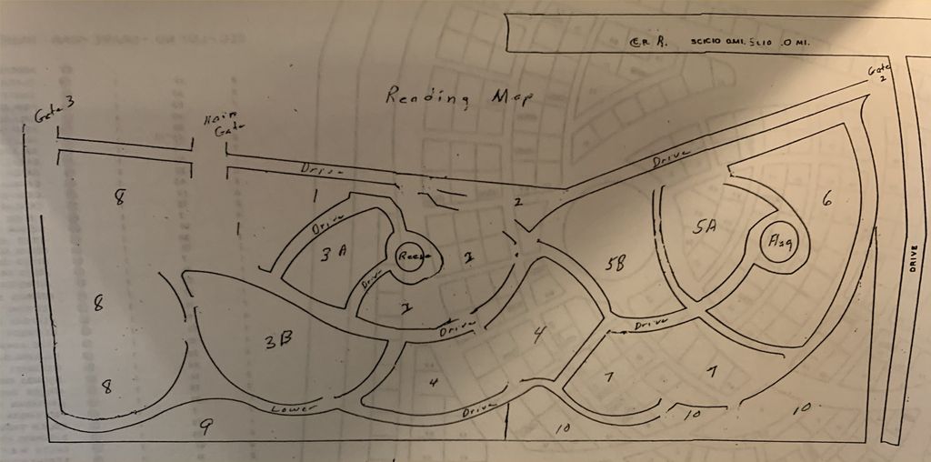
| Description | : | The cemetery is located on the south side of Grandview Road (Township Road 230) at its junction with Cemetery Road (Township Road 231). The cemetery was established in 1860 and is 10.89 acres in size. The cemetery is located in German Township, Harrison County, Ohio, and is # 5021 (Grandview Cemetery / Scio Methodist Episcopal Cemetery) in “Ohio Cemeteries 1803-2003”, compiled by the Ohio Genealogical Society. The cemetery is registered with the Ohio Division of Real Estate and Professional Licensing (ODRE) as Grandview Cemetery with registration license number CGR.0000981327. The U.S. Geological Survey (USGS) Geographic Names Information System (GNIS)... Read More |
frequently asked questions (FAQ):
-
Where is Grandview Cemetery?
Grandview Cemetery is located at Grandview Road (Township Road 230) Scio, Harrison County ,Ohio , 43988USA.
-
Grandview Cemetery cemetery's updated grave count on graveviews.com?
1954 memorials
-
Where are the coordinates of the Grandview Cemetery?
Latitude: 40.3903008
Longitude: -81.0978012
Nearby Cemetories:
1. Methodist Episcopal Church Cemetery
Scio, Harrison County, USA
Coordinate: 40.3970800, -81.0864600
2. Hanover Cemetery
Harrison County, USA
Coordinate: 40.3700600, -81.0670400
3. Wood Cemetery
Scio, Harrison County, USA
Coordinate: 40.4193500, -81.0707690
4. Ridgeview Cemetery
Scio, Harrison County, USA
Coordinate: 40.3620900, -81.0566400
5. Conotton Cemetery
Harrison County, USA
Coordinate: 40.4103012, -81.1489029
6. Mount Hope Cemetery
Tappan, Harrison County, USA
Coordinate: 40.3466400, -81.1237360
7. United Brethren Cemetery
Harrison County, USA
Coordinate: 40.4043999, -81.0353012
8. New Rumley Methodist Cemetery
New Rumley, Harrison County, USA
Coordinate: 40.4028015, -81.0346985
9. Conaway Cemetery
Bowerston, Harrison County, USA
Coordinate: 40.3384420, -81.0889720
10. Evangelical Lutheran Cemetery
New Rumley, Harrison County, USA
Coordinate: 40.4019012, -81.0271988
11. Beaver Valley Cemetery
Monroe Township, Harrison County, USA
Coordinate: 40.3779100, -81.1703860
12. Allen Memorial Cemetery
Carroll County, USA
Coordinate: 40.4364014, -81.0511017
13. Hagey Family Cemetery
Perrysville, Carroll County, USA
Coordinate: 40.4525980, -81.0996160
14. Mount Zion African Methodist Episcopal Cemetery
Conotton, Harrison County, USA
Coordinate: 40.3598990, -81.1733160
15. Swinehart Cemetery
Carroll County, USA
Coordinate: 40.4327000, -81.1642170
16. Mount Olive Cemetery
Carroll County, USA
Coordinate: 40.4488983, -81.1382980
17. New Perrysville Cemetery
Perrysville, Carroll County, USA
Coordinate: 40.4569016, -81.1016998
18. Pleasant Valley Cemetery
Deersville, Harrison County, USA
Coordinate: 40.3307991, -81.1500015
19. Old Pleasant Valley Cemetery (Defunct)
Deersville, Harrison County, USA
Coordinate: 40.3313960, -81.1525640
20. Perrysville United Methodist Cemetery
Perrysville, Carroll County, USA
Coordinate: 40.4625510, -81.0973610
21. Fairview Cemetery
Jewett, Harrison County, USA
Coordinate: 40.3806000, -81.0030975
22. Perrysville Methodist Episcopal Church Cemetery
Perrysville, Carroll County, USA
Coordinate: 40.4655991, -81.0982971
23. Layport Cemetery
Deersville, Harrison County, USA
Coordinate: 40.3265110, -81.1513070
24. Longview Cemetery
Bowerston, Harrison County, USA
Coordinate: 40.4324989, -81.1872025