
| Memorials | : | 4 |
| Location | : | Carroll County, USA |
| Coordinate | : | 40.4327000, -81.1642170 |
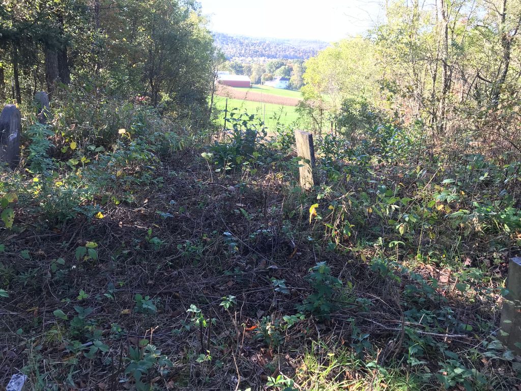
| Description | : | The cemetery is located on a hilltop under pines about 950 feet east of Derry Road (Township Road 207) about 700 feet north of its intersection with Scio Bowerstown Road (Ohio State Route 151). The cemetery is located in Orange Township, Carroll County, Ohio, and is # 14821 (Swinehart Cemetery) in “Ohio Cemeteries 1803-2003”, compiled by the Ohio Genealogical Society. |
frequently asked questions (FAQ):
-
Where is Swinehart Cemetery?
Swinehart Cemetery is located at 9434 Derry Road SW Carroll County ,Ohio , 44695USA.
-
Swinehart Cemetery cemetery's updated grave count on graveviews.com?
4 memorials
-
Where are the coordinates of the Swinehart Cemetery?
Latitude: 40.4327000
Longitude: -81.1642170

Nearby Cemetories:
1. Longview Cemetery
Bowerston, Harrison County, USA
Coordinate: 40.4324989, -81.1872025
2. New Hagerstown Cemetery
New Hagerstown, Carroll County, USA
Coordinate: 40.4446983, -81.1893997
3. Conotton Cemetery
Harrison County, USA
Coordinate: 40.4103012, -81.1489029
4. Mount Olive Cemetery
Carroll County, USA
Coordinate: 40.4488983, -81.1382980
5. Heller Cemetery
Bowerston, Harrison County, USA
Coordinate: 40.4089012, -81.2043991
6. Leesville Cemetery
Leesville, Carroll County, USA
Coordinate: 40.4550018, -81.2114029
7. Tunnel Hill Cemetery
Bowerston, Harrison County, USA
Coordinate: 40.4213982, -81.2238998
8. Mount Tabor Cemetery
Carroll County, USA
Coordinate: 40.4817009, -81.1483002
9. Hagey Family Cemetery
Perrysville, Carroll County, USA
Coordinate: 40.4525980, -81.0996160
10. New Perrysville Cemetery
Perrysville, Carroll County, USA
Coordinate: 40.4569016, -81.1016998
11. Beaver Valley Cemetery
Monroe Township, Harrison County, USA
Coordinate: 40.3779100, -81.1703860
12. Palermo Cemetery
Carroll County, USA
Coordinate: 40.4894444, -81.1522220
13. Perrysville United Methodist Cemetery
Perrysville, Carroll County, USA
Coordinate: 40.4625510, -81.0973610
14. Perrysville Methodist Episcopal Church Cemetery
Perrysville, Carroll County, USA
Coordinate: 40.4655991, -81.0982971
15. Bethel Cemetery
Leavittsville, Carroll County, USA
Coordinate: 40.4921989, -81.1841965
16. Grandview Cemetery
Scio, Harrison County, USA
Coordinate: 40.3903008, -81.0978012
17. Veteran's Grave
Orange Township, Carroll County, USA
Coordinate: 40.4931470, -81.2003677
18. Methodist Episcopal Church Cemetery
Scio, Harrison County, USA
Coordinate: 40.3970800, -81.0864600
19. Plum Run Cemetery
Bowerston, Harrison County, USA
Coordinate: 40.3819008, -81.2294006
20. Wood Cemetery
Scio, Harrison County, USA
Coordinate: 40.4193500, -81.0707690
21. Plum Run Hill Top Cemetery
Harrison County, USA
Coordinate: 40.3814011, -81.2324982
22. Mount Zion African Methodist Episcopal Cemetery
Conotton, Harrison County, USA
Coordinate: 40.3598990, -81.1733160
23. Price-Rollins Cemetery
Carroll County, USA
Coordinate: 40.5088997, -81.1956024
24. Tappan Cemetery
Harrison County, USA
Coordinate: 40.3581009, -81.2078018