
| Memorials | : | 5 |
| Location | : | Anstey, Charnwood Borough, England |
| Coordinate | : | 52.6680480, -1.1955570 |
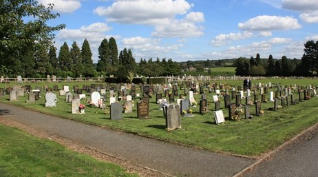
| Description | : | Formed in 1886, the cemetery covers around 1 acre. |
frequently asked questions (FAQ):
-
Where is Anstey Cemetery?
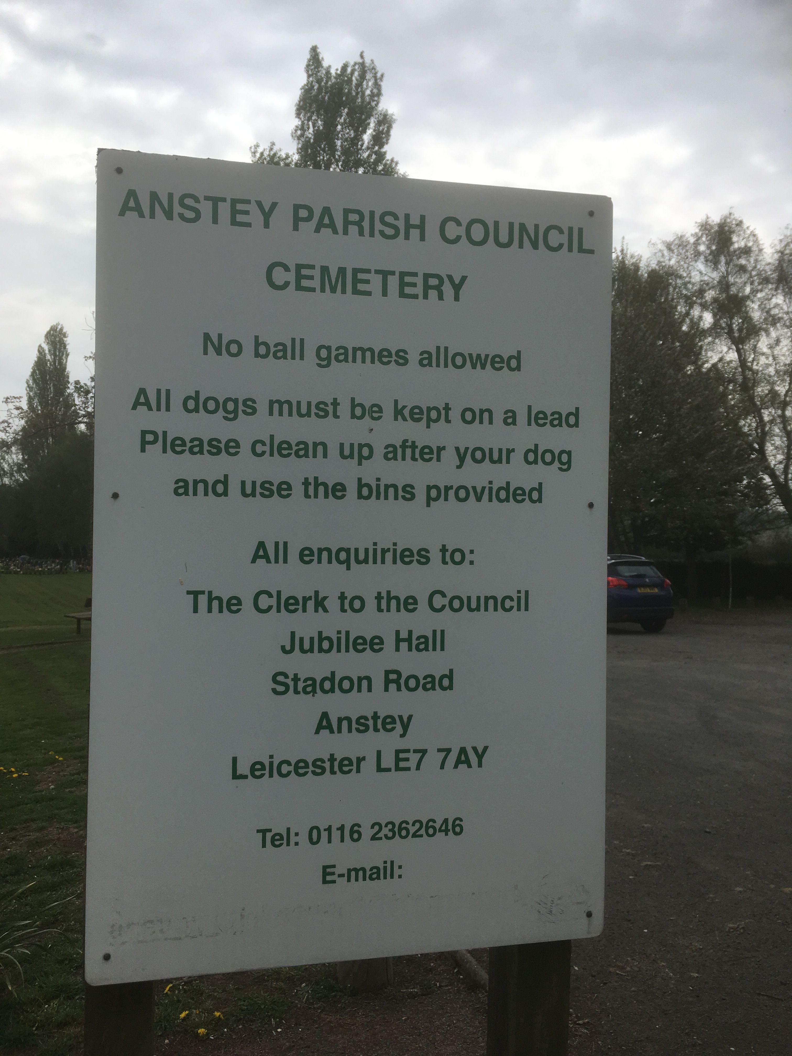
Anstey Cemetery is located at Groby Road Anstey, Charnwood Borough ,Leicestershire ,England.
-
Anstey Cemetery cemetery's updated grave count on graveviews.com?
5 memorials
-
Where are the coordinates of the Anstey Cemetery?
Latitude: 52.6680480
Longitude: -1.1955570
Nearby Cemetories:
1. St Mary's Church
Anstey, Charnwood Borough, England
Coordinate: 52.6720090, -1.1888250
2. St. Philip and St. James Churchyard
Groby, Hinckley and Bosworth Borough, England
Coordinate: 52.6639220, -1.2278540
3. St Peter's Church
Glenfield, Blaby District, England
Coordinate: 52.6490490, -1.2063180
4. Bradgate House Chapelyard
Leicester, Leicester Unitary Authority, England
Coordinate: 52.6867020, -1.2110290
5. Gilroes Cemetery and Crematorium
Leicester, Leicester Unitary Authority, England
Coordinate: 52.6514359, -1.1721700
6. Newtown Linford Parish Cemetery
Newtown Linford, Charnwood Borough, England
Coordinate: 52.6812092, -1.2308014
7. All Saints Churchyard
Newtown Linford, Charnwood Borough, England
Coordinate: 52.6832010, -1.2292860
8. Groby Village Cemetery
Groby, Hinckley and Bosworth Borough, England
Coordinate: 52.6542170, -1.2348310
9. All Saints Churchyard
Thurcaston, Charnwood Borough, England
Coordinate: 52.6906870, -1.1647320
10. St Philip and St James Churchyard
Ratby, Hinckley and Bosworth Borough, England
Coordinate: 52.6489370, -1.2433610
11. St Bartholomew Churchyard
Kirby Muxloe, Blaby District, England
Coordinate: 52.6371750, -1.2320940
12. Kirby Muxloe Cemetery
Kirby Muxloe, Blaby District, England
Coordinate: 52.6373740, -1.2337780
13. Greengate Lane Cemetery
Birstall, Charnwood Borough, England
Coordinate: 52.6800110, -1.1346940
14. Belgrave Cemetery
Belgrave, Leicester Unitary Authority, England
Coordinate: 52.6653570, -1.1311220
15. Leicester Abbey
Leicester, Leicester Unitary Authority, England
Coordinate: 52.6489600, -1.1369470
16. St. Leonard's Churchyard
Swithland, Charnwood Borough, England
Coordinate: 52.7103000, -1.1800300
17. St. Peter's Churchyard
Belgrave, Leicester Unitary Authority, England
Coordinate: 52.6594208, -1.1255690
18. All Saints Church
Leicester, Leicester Unitary Authority, England
Coordinate: 52.6381940, -1.1403170
19. St Margaret Churchyard
Leicester, Leicester Unitary Authority, England
Coordinate: 52.6403430, -1.1363440
20. St. Nicholas Church
Leicester, Leicester Unitary Authority, England
Coordinate: 52.6351400, -1.1408940
21. St James the Great Churchyard
Birstall, Charnwood Borough, England
Coordinate: 52.6741150, -1.1189210
22. Great Meeting Unitarian Chapel
Leicester, Leicester Unitary Authority, England
Coordinate: 52.6379400, -1.1360390
23. Chapel of the Knights Templar
Rothley, Charnwood Borough, England
Coordinate: 52.7056000, -1.1478000
24. St Peter's Churchyard
Braunstone, Blaby District, England
Coordinate: 52.6208940, -1.1812900