
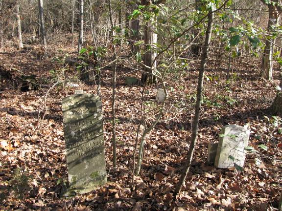
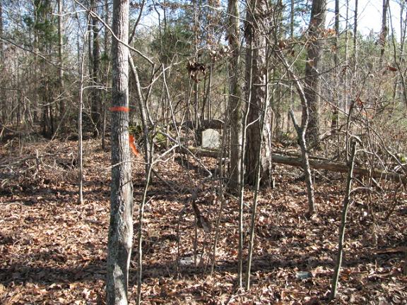
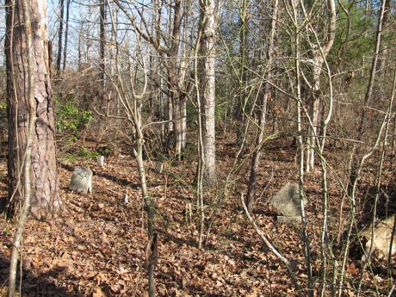
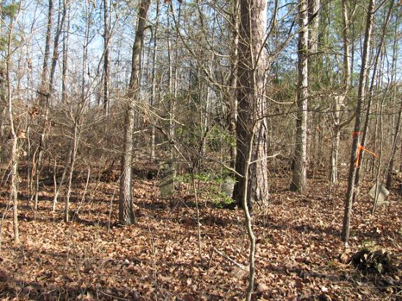
| Memorials | : | 0 |
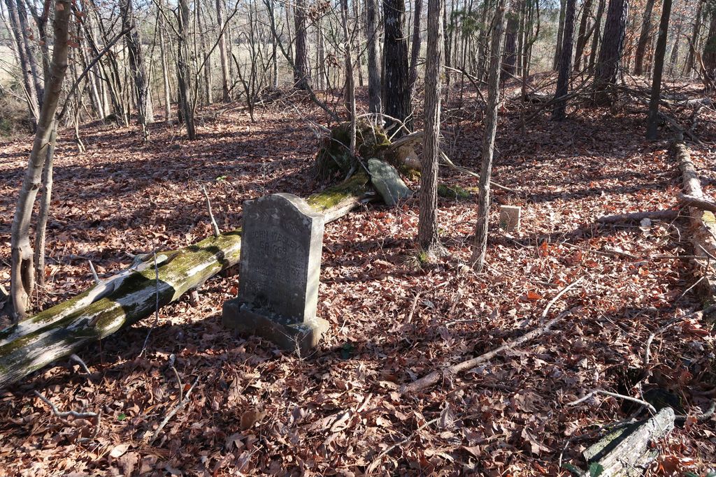
| Location | : | Littles Quarters, Anson County, USA |
| Coordinate | : | 34.8206650, -80.1763990 |
| Description | : | Take Highway 109 South from Wadesboro, N.C. about 10 miles. Turn left on George Ratliff Road (State Road 1109). Cemetery is about 1 mile down this road. It is on the left about 1/4 mile down on Dead Fall Creek. Coming from Maysville cross Dead Fall Creek on State Road 1109. Cemetery will be to the right of the road about 1/4 mile on Dead Fall Creek. The cemetery is about half way between Littles Quarters and Maysville. |
frequently asked questions (FAQ):
-
Where is Griggs Cemetery?
Griggs Cemetery is located at Littles Quarters, Anson County ,North Carolina ,USA.
-
Griggs Cemetery cemetery's updated grave count on graveviews.com?
0 memorials
-
Where are the coordinates of the Griggs Cemetery?
Latitude: 34.8206650
Longitude: -80.1763990
Nearby Cemetories:
1. Niven Cemetery
Deep Creek, Anson County, USA
Coordinate: 34.8161812, -80.1607742
2. Elisha Gulledge Cemetery
Deep Creek, Anson County, USA
Coordinate: 34.8441124, -80.1828995
3. Burch Family Cemetery
Maysville, Chesterfield County, USA
Coordinate: 34.7976160, -80.1581110
4. Thomas Huntley Gulledge Cemetery
Deep Creek, Anson County, USA
Coordinate: 34.8483086, -80.1639938
5. Long Pine Baptist Church Cemetery
Long Pine, Anson County, USA
Coordinate: 34.8240929, -80.2131348
6. Porter Cemetery
Deep Creek, Anson County, USA
Coordinate: 34.8510200, -80.1717210
7. Tucker Family Cemetery
Cason Old Field, Anson County, USA
Coordinate: 34.8186900, -80.1344100
8. Long Pine United Methodist Church Cemetery
Long Pine, Anson County, USA
Coordinate: 34.8237038, -80.2201080
9. Moore Cemetery
Ruby, Chesterfield County, USA
Coordinate: 34.7932060, -80.1473880
10. Deep Creek Baptist Church Cemetery
Deep Creek, Anson County, USA
Coordinate: 34.8543210, -80.1575160
11. Watson Cemetery
Mount Croghan, Chesterfield County, USA
Coordinate: 34.8075580, -80.2188800
12. West Deep Creek Missionary Baptist Church Cemetery
Deep Creek, Anson County, USA
Coordinate: 34.8592380, -80.1647100
13. Timmonsville Baptist Church Cemetery
Mount Croghan, Chesterfield County, USA
Coordinate: 34.7825050, -80.1944070
14. Rev. Joel Gulledge Cemetery
Deep Creek, Anson County, USA
Coordinate: 34.8620071, -80.1693420
15. Massey Cemetery
Ruby, Chesterfield County, USA
Coordinate: 34.7783050, -80.1735600
16. Timmonsville Baptist Church Cemetery Old
Mount Croghan, Chesterfield County, USA
Coordinate: 34.7789940, -80.1903360
17. Webb Cemetery
Anson County, USA
Coordinate: 34.8598320, -80.1532240
18. Thompson Creek Baptist Church Cemetery Old
Chesterfield, Chesterfield County, USA
Coordinate: 34.7771740, -80.1573740
19. Thompson Creek Baptist Church Cemetery New
Chesterfield County, USA
Coordinate: 34.7756004, -80.1575012
20. Elizabeth Baptist Church Cemetery
Mount Croghan, Chesterfield County, USA
Coordinate: 34.7806015, -80.2130966
21. Gulledge Family Cemetery
Ruby, Chesterfield County, USA
Coordinate: 34.7685860, -80.1802830
22. James Ratliff Cemetery
Cason Old Field, Anson County, USA
Coordinate: 34.8346590, -80.1147080
23. Short Cemetery
Cason Old Field, Anson County, USA
Coordinate: 34.8294550, -80.1128950
24. Griggs Cemetery
Chesterfield, Chesterfield County, USA
Coordinate: 34.7757988, -80.1382980