
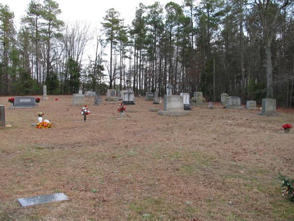
| Memorials | : | 3 |
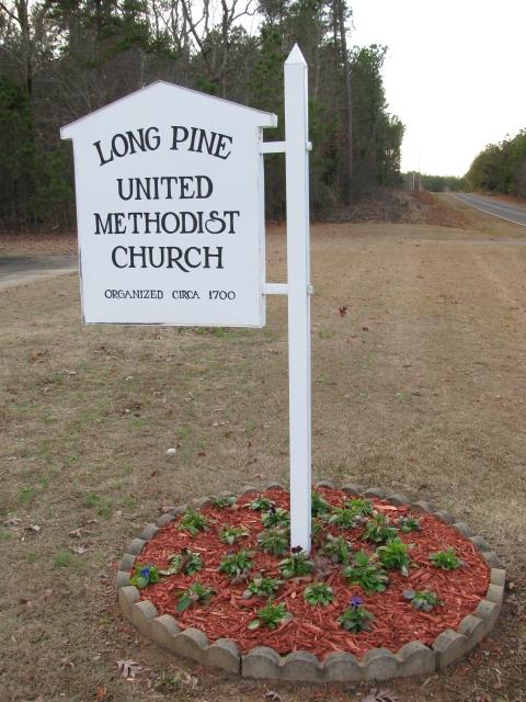
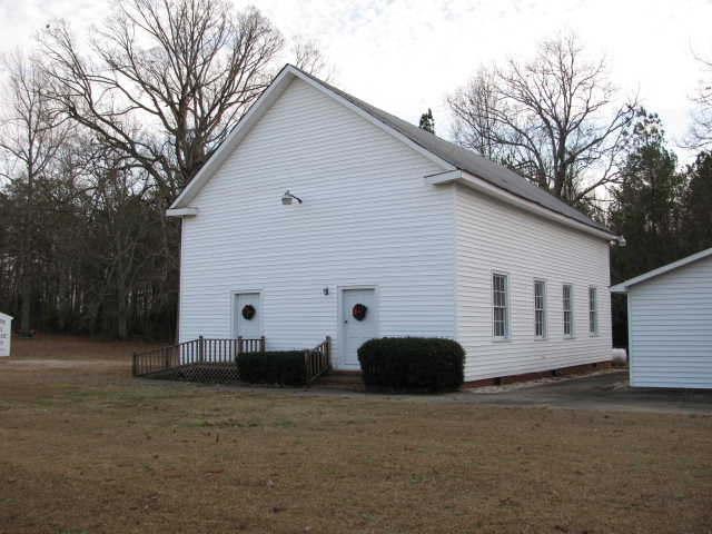
| Location | : | Long Pine, Anson County, USA |
| Coordinate | : | 34.8237038, -80.2201080 |
| Description | : | Take highway 109 south from Wadesboro, N.C. about 11 miles. Turn right on Long Pine Church Road. Church and cemetery will be on the left about a mile down. |
frequently asked questions (FAQ):
-
Where is Long Pine United Methodist Church Cemetery?
Long Pine United Methodist Church Cemetery is located at Long Pine, Anson County ,North Carolina ,USA.
-
Long Pine United Methodist Church Cemetery cemetery's updated grave count on graveviews.com?
3 memorials
-
Where are the coordinates of the Long Pine United Methodist Church Cemetery?
Latitude: 34.8237038
Longitude: -80.2201080
Nearby Cemetories:
1. Long Pine Baptist Church Cemetery
Long Pine, Anson County, USA
Coordinate: 34.8240929, -80.2131348
2. Watson Cemetery
Mount Croghan, Chesterfield County, USA
Coordinate: 34.8075580, -80.2188800
3. Griggs Cemetery
Littles Quarters, Anson County, USA
Coordinate: 34.8206650, -80.1763990
4. Elisha Gulledge Cemetery
Deep Creek, Anson County, USA
Coordinate: 34.8441124, -80.1828995
5. Rorie Cemetery
White Store Township, Anson County, USA
Coordinate: 34.8513010, -80.2525090
6. Elizabeth Baptist Church Cemetery
Mount Croghan, Chesterfield County, USA
Coordinate: 34.7806015, -80.2130966
7. Timmonsville Baptist Church Cemetery
Mount Croghan, Chesterfield County, USA
Coordinate: 34.7825050, -80.1944070
8. Porter Cemetery
Deep Creek, Anson County, USA
Coordinate: 34.8510200, -80.1717210
9. Ellen Grove Missionary Baptist Church Cemetery
White Store Township, Anson County, USA
Coordinate: 34.8430138, -80.2746201
10. Niven Cemetery
Deep Creek, Anson County, USA
Coordinate: 34.8161812, -80.1607742
11. Collins Cemetery
White Store Township, Anson County, USA
Coordinate: 34.8569540, -80.2646970
12. Timmonsville Baptist Church Cemetery Old
Mount Croghan, Chesterfield County, USA
Coordinate: 34.7789940, -80.1903360
13. Antioch Methodist Church Cemetery
Hornsboro, Chesterfield County, USA
Coordinate: 34.7971992, -80.2742004
14. Lockhart-Redfearn Cemetery
White Store Township, Anson County, USA
Coordinate: 34.8521805, -80.2727661
15. Thomas Huntley Gulledge Cemetery
Deep Creek, Anson County, USA
Coordinate: 34.8483086, -80.1639938
16. Huntley Cemetery
White Store Township, Anson County, USA
Coordinate: 34.8659070, -80.2583430
17. Lamb of God Outreach Ministries Church Cemetery
Mount Croghan, Chesterfield County, USA
Coordinate: 34.7699190, -80.2325430
18. Redfearn Cemetery
White Store Township, Anson County, USA
Coordinate: 34.8482094, -80.2799149
19. Mount Croghan United Methodist Church Cemetery
Mount Croghan, Chesterfield County, USA
Coordinate: 34.7686430, -80.2240780
20. Mount Croghan Memorial Park
Mount Croghan, Chesterfield County, USA
Coordinate: 34.7686005, -80.2244034
21. Rev. Joel Gulledge Cemetery
Deep Creek, Anson County, USA
Coordinate: 34.8620071, -80.1693420
22. Burch Family Cemetery
Maysville, Chesterfield County, USA
Coordinate: 34.7976160, -80.1581110
23. West Deep Creek Missionary Baptist Church Cemetery
Deep Creek, Anson County, USA
Coordinate: 34.8592380, -80.1647100
24. Union Methodist Church Cemetery
White Store Township, Anson County, USA
Coordinate: 34.8811188, -80.2098846