| Memorials | : | 1 |
| Location | : | Handsworth, Metropolitan Borough of Birmingham, England |
| Coordinate | : | 52.5160120, -1.9531440 |
frequently asked questions (FAQ):
-
Where is Handsworth Cemetery?
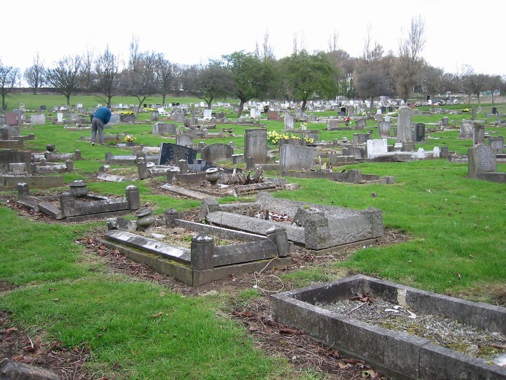
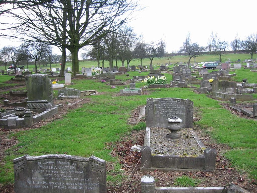
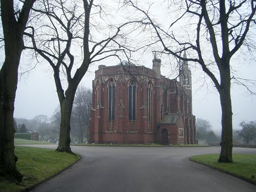
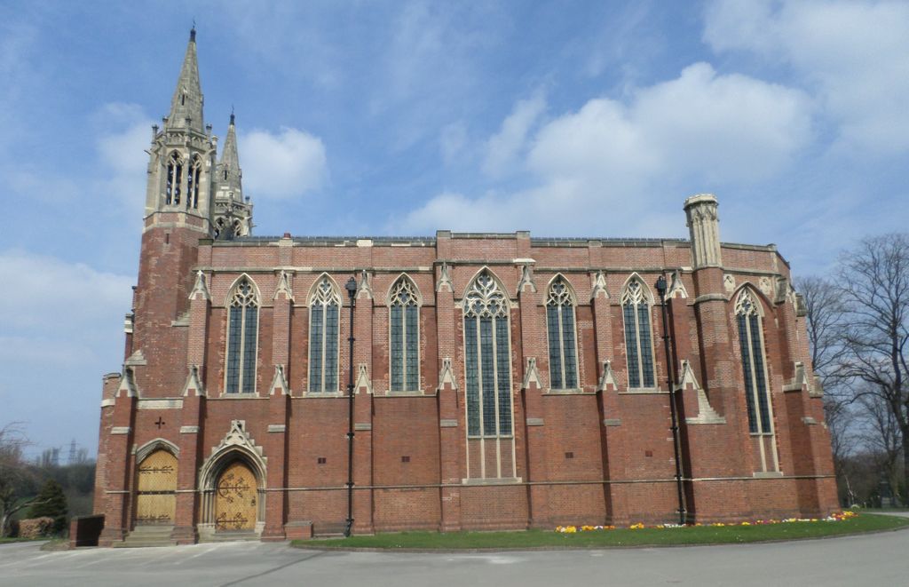
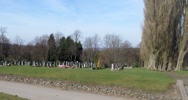
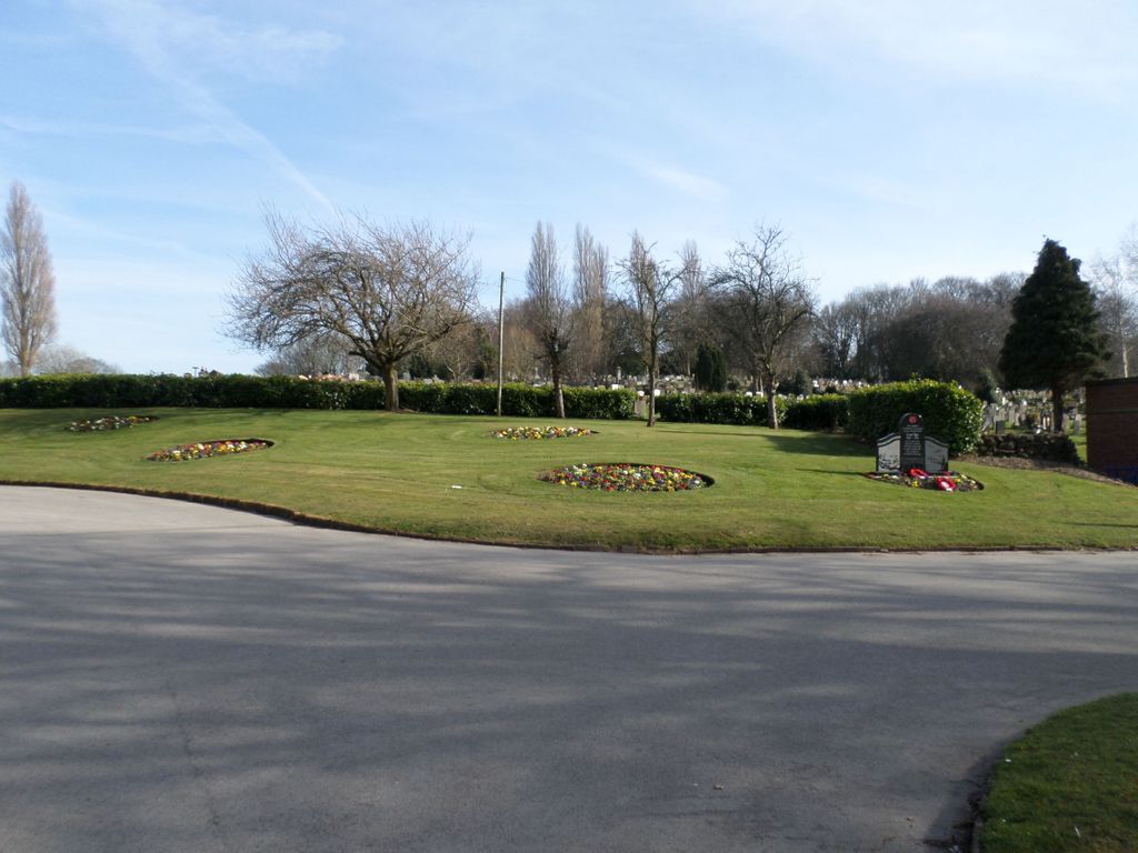
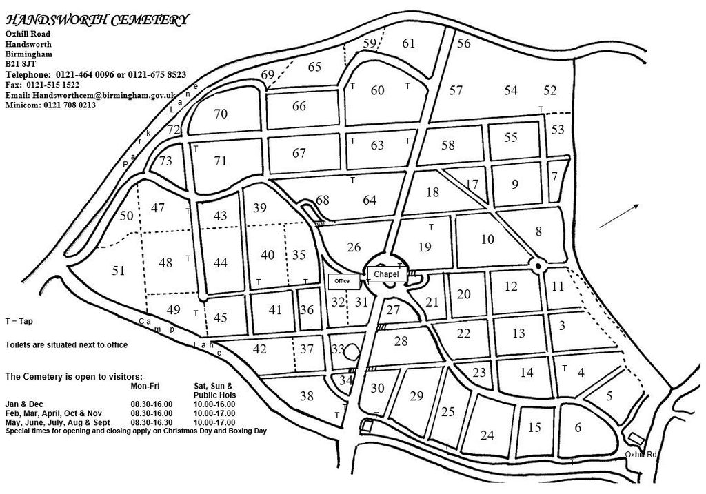
Handsworth Cemetery is located at Oxhill Road Handsworth, Metropolitan Borough of Birmingham ,West Midlands , B21 8JTEngland.
-
Handsworth Cemetery cemetery's updated grave count on graveviews.com?
1 memorials
-
Where are the coordinates of the Handsworth Cemetery?
Latitude: 52.5160120
Longitude: -1.9531440
Nearby Cemetories:
1. Sandwell Valley Crematorium
Sandwell, Metropolitan Borough of Sandwell, England
Coordinate: 52.5352909, -1.9654898
2. St. Mary's Churchyard
Handsworth, Metropolitan Borough of Birmingham, England
Coordinate: 52.5106700, -1.9193690
3. Birmingham Prison Cemetery
Birmingham, Metropolitan Borough of Birmingham, England
Coordinate: 52.4932060, -1.9372360
4. Wesley Methodist Church
West Bromwich, Metropolitan Borough of Sandwell, England
Coordinate: 52.5197179, -1.9942137
5. All Saints Churchyard
West Bromwich, Metropolitan Borough of Sandwell, England
Coordinate: 52.5344360, -1.9849140
6. St. Peter's Churchyard
West Bromwich, Metropolitan Borough of Sandwell, England
Coordinate: 52.5192880, -1.9998700
7. Christ Church
West Bromwich, Metropolitan Borough of Sandwell, England
Coordinate: 52.5198729, -2.0004193
8. Heath Lane Cemetery
West Bromwich, Metropolitan Borough of Sandwell, England
Coordinate: 52.5355750, -1.9885610
9. Birmingham Crematorium
Birmingham, Metropolitan Borough of Birmingham, England
Coordinate: 52.5288170, -1.9094020
10. Oldbury Cemetery
Smethwick, Metropolitan Borough of Sandwell, England
Coordinate: 52.4992710, -1.9932620
11. All Saints Churchyard
Hockley, Metropolitan Borough of Birmingham, England
Coordinate: 52.4915890, -1.9218570
12. Smethwick Old Churchyard
Smethwick, Metropolitan Borough of Sandwell, England
Coordinate: 52.4869000, -1.9724600
13. Smethwick Cemetery
Smethwick, Metropolitan Borough of Sandwell, England
Coordinate: 52.4868370, -1.9753820
14. St John the Evangelist Churchyard
Perry Barr, Metropolitan Borough of Birmingham, England
Coordinate: 52.5260757, -1.9005234
15. Key Hill Cemetery
Birmingham, Metropolitan Borough of Birmingham, England
Coordinate: 52.4908400, -1.9158600
16. Warstone Lane Cemetery
Birmingham, Metropolitan Borough of Birmingham, England
Coordinate: 52.4874340, -1.9139250
17. Thimblemill Cemetery
Smethwick, Metropolitan Borough of Sandwell, England
Coordinate: 52.4826200, -1.9826400
18. St. Paul's Churchyard
Birmingham, Metropolitan Borough of Birmingham, England
Coordinate: 52.4852472, -1.9057710
19. Witton Cemetery
Witton, Metropolitan Borough of Birmingham, England
Coordinate: 52.5265230, -1.8827870
20. St Peter and St Paul Churchyard
Aston, Metropolitan Borough of Birmingham, England
Coordinate: 52.5070340, -1.8796590
21. Saint Marys Chapel (Defunct)
Birmingham, Metropolitan Borough of Birmingham, England
Coordinate: 52.4850600, -1.8961600
22. St. Margaret's Churchyard
Great Barr, Metropolitan Borough of Birmingham, England
Coordinate: 52.5607000, -1.9295700
23. Witton Jewish Cemetery
Birmingham, Metropolitan Borough of Birmingham, England
Coordinate: 52.5342500, -1.8808700
24. Christ Church Churchyard
Birmingham, Metropolitan Borough of Birmingham, England
Coordinate: 52.4798000, -1.9020000

